Posted on 09/17/2009 2:25:02 PM PDT by JoeProBono
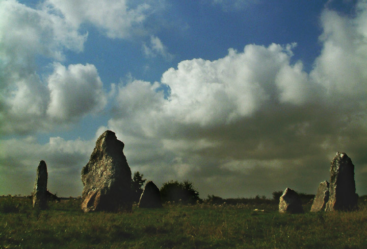
LONDON: In a new research, a scientist has found that prehistoric man navigated his way across England using a crude version of a satellite navigation system, which was based on stone circle markers. According to a report in the Telegraph, the research, by historian and writer Tom Brooks, shows that Britain’s Stone Age ancestors were “sophisticated engineers” and far from a barbaric race. Brooks studied all known prehistoric sites as part of his research.
He found that the prehistoric man was able to travel between settlements in England with pinpoint accuracy, thanks to a complex network of hilltop monuments.
These covered much of southern England and Wales and included now famous landmarks such as Stonehenge and The Mount. New research suggests that they were built on a connecting grid of isosceles triangles that “point” to the next site. Many are 100 miles or more away, but GPS co-ordinates show all are accurate to within 100 metres.
This provided a simple way for ancient Britons to navigate successfully from point A to B without the need for maps. “To create these triangles with such accuracy would have required a complex understanding of geometry,” said Brooks.

Talk about linking two things that can’t be linked. What a joke of a headline.
ping
Indeed. Placing stone markers on the ground is a far cry from a satellite navigation system.
So, they built a beautiful and elaborate system of navigation, and did pretty much nothing else? To get from one clutch of stone and stick huts to the next?
Thank goodness for the Roman and Norse invasions!
The only problem was that prehistoric man had a tough getting the "GPS log" to stay in orbit....

Sat-Nav (GPS) is man’s crude version of God’s wonders.....”The earth, the moon and the stars”.....in sync...


Road markers and satellites are hardly similar. Its like comparing onions and spples.
Just gave me an idea for a great story though.
Believe it or not, there are still some places on Earth where such technology still hasn’t been perfected. New Jersey comes to mind.
Stone Age satnav:
Did ancient man use 5,000-year-old travel chart to navigate across Britain
The Daily Mail | 15 Sep 2009 | David Derbyshire
Posted on 09/15/2009 1:13:16 PM PDT by BGHater
http://www.freerepublic.com/focus/chat/2340382/posts
Many are 100 miles or more away,
Each triangle has two sides of the same length and point to the next settlement.
Thus, anyone standing on the site of Stonehenge in Wiltshire could have navigated their way to Lanyon Quoit in Cornwall without a map.
Wot an idjit!
So, I'm here at the first stone circle thingy, ow the 'ell do I know were the next circle thingy is?
Hunnert miles you say? Mebbe more? Ow, that's four, five, mebbe six days on shank's mare, never mind no food with them bluidy scot MacDonalds kine rustlers way up north.
And so far as finding the Welsh, well the onion smell kinda of leads you to them, dunnit.
Bluidy historian, couldn't find a footpath without a swift kick... ah well, an idjit I say.
|
|
|||
Gods |
Thanks Lurker for the ping, and JoeProBono for the topic. |
||
|
· Discover · Nat Geographic · Texas AM Anthro News · Yahoo Anthro & Archaeo · Google · · The Archaeology Channel · Excerpt, or Link only? · cgk's list of ping lists · |
|||
SITREP
New Jersey needs a lot of help with their metallic plates.
Disclaimer: Opinions posted on Free Republic are those of the individual posters and do not necessarily represent the opinion of Free Republic or its management. All materials posted herein are protected by copyright law and the exemption for fair use of copyrighted works.