
Posted on 09/07/2026 5:15:03 PM PDT by nwrep
USA was the only nation to vote against a shift from Mercator map to the Eckert IV map.
Many nations will be promptly updating their school books with the new map, with France being amongst the first to adopt it.
(Excerpt) Read more at euronews.com ...
WHAT THE HELL???
ok...
If the US gets smaller, that means less global warming, no? Winning.
Morons they left out half the planet ,LOL
This changing of the maps did not alter the relative sizes of the various nations. Africa did not gain one square millimeter of land. I presume that those who use the Mercator maps for navigation will continue to do so.This whole exercise was merely to assuage the egos of African leaders who cannot equal what others have done.
I guess we don’t want Greenland now.
Russia and China got shrunk as well. I can’t see them voting for this....................
The only value of the Mercator map is that it puts the geographic on a flat page, rather than a sphere. Everyone has long known that doing so expands the appearance of countries in the middle latitudes, and shrinks those in the higher and lower latitudes.
AFAIK, the old turn-of-the-20th-Century quarter-spherical ("orange peel") projection global maps are still the most accurate in terms of continent sizes.
The Mercador map is done for ease of navigation. But, it distorts the countries near the North and South Poles, stretching them and making them appear larger.
This has been known for years. Honestly, it is a needed correction
>>The only value of the Mercator map is that it puts the geographic on a flat page, rather than a sphere.
Not the ONLY value. The Mercator also preserves angles so that a straight line is a rhumb line for steering, and local features are preserved; that’s why it’s used for navigation.
When it comes to global maps you can have correct shape but distorted size like the Mercator or the opposite correct size but distorted shapes. Other map projections compromise both to get a happy balance between the two.
Yes. This isn’t being done for accuracy... it is being done by leftists to marginalize whites.
Sounds like AI idiocy. You've got that backwards?
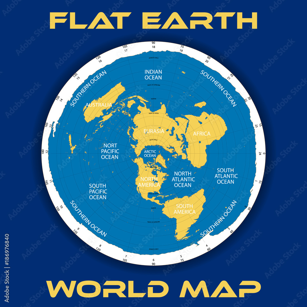
Simple reverse racism to promote the invasions from the Global South.
Just more Anti White shiiite from globalists.
More reason to ban all immigration from those places.
Lots of room there
Why the phoook are they all trying to get here?
Since Africa and South America are so much larger than North America and Europe, there should be no excuse for all this south to north migration. These HUGE SPACIOUS continents have plenty of space for their native peoples.
Disclaimer: Opinions posted on Free Republic are those of the individual posters and do not necessarily represent the opinion of Free Republic or its management. All materials posted herein are protected by copyright law and the exemption for fair use of copyrighted works.