
Posted on 11/04/2018 8:46:32 AM PST by ETL
Counting whales has never been easy—boats, even planes, can travel limited distances, and catching site of these giant cetaceans is hit or miss. Now, researchers at the British Antarctic Survey (BAS) in Cambridge have demonstrated that they can tally at least four different species using satellite images taken 600 kilometers above the ocean.
Previously, satellite cameras were of no use in whale spotting. Their resolution, which maxed out at 46 centimeters, made most whales look like undistinguishable blobs. But the new privately owned WorldView-3 satellite, which has a resolution of 31 centimeters, enabled BAS graduate student Hannah Cubaynes to count 200 whales across 4230 square kilometers of ocean, she and her colleagues reported last week in Marine Mammal Science.
Cubaynes started with seven images from four areas across the world known to exclusively host southern right whales, fin whales, humpback whales, or gray whales at certain times of year. “Oh my God,” was her first reaction, because the whales were so easy to see. Nearly half of her identifications were definitive, and the whales looked different enough from space that she expects to be able to tell species apart should they occur together in subsequent images.
Next, researchers will use the images to develop a computer program that can pick out probable whales, the identification of which will be confirmed by experts. Cubaynes says the system will aid conservation efforts by better revealing where whales go and how many there are. But to do so, she first has to figure out how to account for wind, sun glare, and whales that are at angles to the surface or moving and thus not fully visible. And like aerial and ship surveys, satellite surveys will still be hampered by bad weather.
Don’t the whales deserve a little privacy?
Filthy, Peeping-Tom biologists.
You’re out there giving your lady Whale friend some flowers and chocolates and getting ready to make your move when you remember there’s some voyeur scientist killing the mood.


Radar operator, Low light level camera on the tracking radar for the SM 1 missle system. The point is the technology existed in the 1970’s for high definition viewing at a distance.
The author’s name is rather unfortunate.


GUARD #4: chuckling
PILATE: What's so... funny about the name "Pennisi"?
CENTURION: Well, it's a joke name, sir.
https://www.youtube.com/results?search_query=monty+python+biggus+dickus
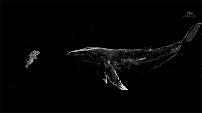
Two whales that take up a LOT of space!
C’mon. This is just a fluke.
I’m such a Huge whale fan. These marine biologists were showing how they communicate with each other with these squeaks and squeals, what a fish!
The sea was angry that day, my friends.
Like an old man sending back soup in a deli.
In Google Earth I can count the tiles on my roof. This is not so impressive.
The story is more about the “coolness” of capturing a group of whales on a space cam.

______________________________________________________________

Sheila Jackson Lee (Democrat!)
Member of the U.S. House of Representatives
From Texas's 18th district
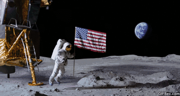
On a visit to the NASA Jet Propulsion Laboratory in 2005, Jackson Lee made embarrassing news by asking if the Mars Pathfinder had taken an image of the flag planted there in 1969 by Neil Armstrong.[2]
Prior to the 110th Congress, Jackson Lee served on the House Science Committee and on the Subcommittee that oversees space policy and NASA.
http://web.archive.org/web/20100409095818/http://en.wikipedia.org/wiki/Sheila_Jackson_Lee
Disclaimer: Opinions posted on Free Republic are those of the individual posters and do not necessarily represent the opinion of Free Republic or its management. All materials posted herein are protected by copyright law and the exemption for fair use of copyrighted works.