| This thread has been locked, it will not receive new replies. |
|
Locked on 08/16/2007 6:18:59 AM PDT by Religion Moderator, reason:
See new thread: http://www.freerepublic.com/focus/f-chat/1881951/posts |
Posted on 08/12/2007 3:11:05 AM PDT by Clive

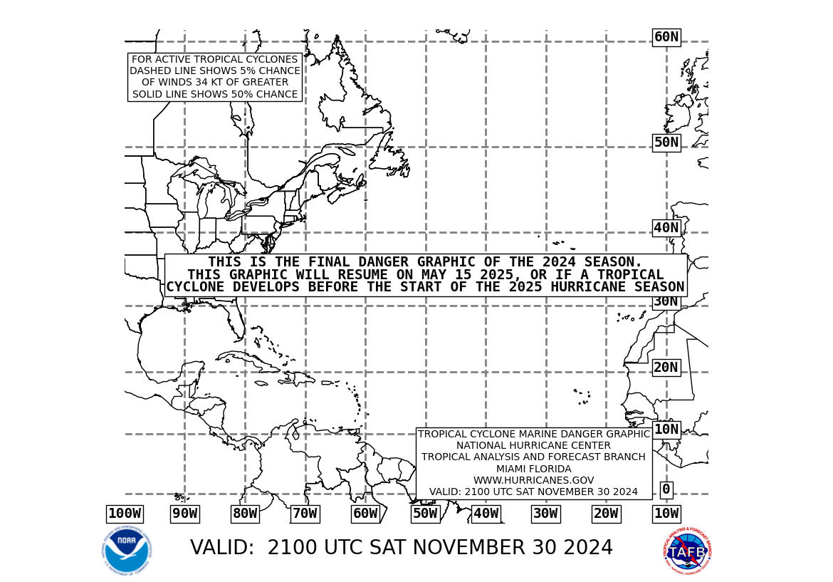
This chart will automatically update periodically.
Thanks for the post. Living here in SoFlo I will most certainly be watching this. We have preset planned schedules on when we pick up last minute "survival" stores such as gas (which we don't keep over 3 months.) We'll do gradual fills of our stores over the next week if this continues to develop.
Yep, this is about the time the real fun gets started, let's pray we're all wasting our time! ; )
Ping and good morning to our SoFlo pals...
Watching a Couple of Tropical WavesBy Accuweather.com Meteorologists Alex Sosnowski, Bob Smerbeck and Matt Keefe
At this time, there are no organized features in the Atlantic basin. However, we are watching a tropical wave in the eastern Atlantic near the Cape Verde Islands and a couple of tropical waves over the western Caribbean.
Over the course of the next several days, atmospheric conditions should allow the wave in the eastern Atlantic, located roughly along 20 west and south of 20 north and moving to the west at 10-15 knots, to become better organized. This feature could even strengthen into a named storm in a couple of days or so. Most global models have been showing this wave to become a well organized tropical cyclone over the past several days. A ridge of high pressure aloft to the north of this feature should put it on a westerly track, perhaps reaching the Lesser Antilles next Thursday or Friday.
The tropical waves in the western Caribbean are located roughly along 87 west and 79 west and are tracking west at 10-15 knots. They are interacting with an upper-level trough of low pressure between Florida and the Bahamas, and the result is widespread convection from Central America northeast across the western Caribbean into Cuba. The upper trough of low pressure will track westward across the Gulf Sunday and Monday and could move across southern Texas or northeastern Mexico during the day Tuesday. The tropical wave will be trailing behind the upper trough, and it will continue to be ventilated by the upper trough, so numerous showers and thunderstorms should continue. There is some chance of a developing tropical cyclone in the southwest Gulf of Mexico by midweek. There could at least be an increased chance of rain over the lower Rio Grande Valley.
Elsewhere in the Atlantic Basin, a tropical wave is found near 32 west and south of 16 north. This wave is moving to the west at 10-15 knots and is causing little in the way of showers and thunderstorms. Another tropical wave can be found near 48 west and south of 15 north. This wave is moving westward at 10-15 knots. This wave is causing showers and thunderstorms along the Intertropical Convergence Zone. Farther west, a tropical wave is found near 71 west and south of 22 north. This wave is moving westward at about 15 knots and is currently producing thunderstorms across the southern Bahamas and northern Columbia.
I live on the East central coast of Florida.
I saw one hurricane model this morning that has this turning into Hurricane dean and following the path of 1998’s Hurricane Georges. Across the north coast of Puerto Rico and Cuba and then across the Florida Keys and on up to Mobile, Alabama.
I live in the Lower Florida Keys, right where Georges stalled offshore in 1998 and pounded us for 18 hours. Don’t wish to see a repeat of that.
Just thanks.
I don't know if a hurricane sounds all that bad at present if it'll disrupt the heat and drought we have presently. It is unbelieveably hot here.
Dittos to that from burnt and scorched Tn.
BASED ON 0600 UTC SURFACE ANALYSIS AND SATELLITE IMAGERY THROUGH 1015 UTC.
...SPECIAL FEATURE...
A VIGOROUS TROPICAL WAVE IS LOCATED OVER THE FAR EASTERN ATLANTIC OCEAN ALONG 22W S OF 19N. A 1006 MB LOW PRES IS NEAR 12N22W OR ABOUT 300 MILES SOUTHEAST OF THE SOUTHERNMOST CAPE VERDE ISLANDS. SHOWERS AND THUNDERSTORMS HAVE CHANGED LITTLE IN ORGANIZATION OVERNIGHT. HOWEVER...CONDITIONS APPEAR FAVORABLE FOR GRADUAL DEVELOPMENT OF THIS SYSTEM...AND A TROPICAL DEPRESSION COULD FORM DURING THE NEXT DAY OR TWO AS IT MOVES WESTWARD AT 15 TO 20 MPH. MODERATE TO ISOLATED STRONG CONVECTION IS WITHIN 60NM OF 12N24W.
And so begins the “Real” Hurricane Season.

At least it's dry heat. If the humidity were where it normally is this time of year it would be really miserable. But, with 40% humidity the 95-100F we've seen over the past week here in SE Tennessee hasn't been all that bad. (and I work out in it on my farm every day)
I guess that Dr. Cullen with the weather channel will give us another lecture on global warming, sheesh.
We wouldn't take that very well...lol!
"You don't understand! You're getting what you deserve! But fear not, I am your messiah and I am here to save you from yourself!"
Uh, no...
Your right about the dry heat,the weather girl this a.m.
called it desert like condition in the Nashville area.
I too am a farmer out in it every day,just came back in after putting out about 500 gals of water on 2 farms for
the cows morning drink.
Been feeding hay I ain`t got for 2 weeks too.
SH*T!!!!!!!!!!!!!!!!
I’m going to Puerto Rico from Aug. 14-17... the storm might be reaching the Lesser Antilles by Fri., 8/17, which means that American Airlines might cancel my return flight to Baltimore... AAARRRRRRGGGHHHHHHHHHHH!!!!!!!!!!!!!
http://www.ssd.noaa.gov/goes/east/tatl/avn-l.jpg
WIDE ATLANTIC INFRARED LOOP - NATIONAL HURRICANE CENTER SITE.

Yeah, I hear ya! I'm situated next to the Sequatchie River and even with the drought we usually get 3 hay cuttings. I had a guy call yesterday wanting all they hay I could cut, even the weedy crap in the fields I don't normally cut and bale.
It's going to be a long, lean winter in these parts for folks with livestock.....
the good news is that the poinsettia (sp?) trees which are supposedly harbinger of the seasons intensity are not very fiery here in Key West
and these days I have as much (if not more)faith in folklore as I do in the politically agenda-ed NOAA and the weather service
.
Disclaimer: Opinions posted on Free Republic are those of the individual posters and do not necessarily represent the opinion of Free Republic or its management. All materials posted herein are protected by copyright law and the exemption for fair use of copyrighted works.