
Africa always wins.
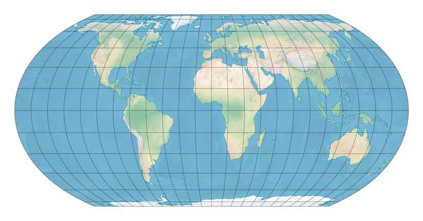
People don’t know about the difficulty of projecting spherical surfaces onto 2D planes? Not surprising. I guess classrooms don’t have globes in them anymore.
so move russia to africa?
tiktok is brilliant.
Wow....my mind is blown. Now lets examine the misrepresentation of politicians as honest , hardworking servants of the people.
The Mercator projection makes Greenland look much larger than it is as well. But I’d still like Trump to …convince Denmark to sell it to us when he becomes CIC again.
Of course Russia is smaller after all the ice melts.
Geographically challenged folks out there take note. And, how much ocean will there be if we get Pangea back together?
A nation is smaller than a continent.
I guess they don’t teach what they taught me in third grade anymore about a 2D map representing a 3D globe. I remember the Greenland example from way back then, that it is much smaller than it looks on a 2D map. I am worried about the level of basic knowledge of our populace. We seem to be getting dumber and dumber.
Lol if they understand how big Africa is, that makes Russia truly huge.
Did they notice Africa is a continent with a lot of countries, all smaller than Russia?
So… if you mix in black equity Africa is the largest continent of all the world!
Get a globe. Trace Russia on a piece of cellophane/sandwich wrap flattened over it. Flatten it back out over Africa. (Or trace Africa and flatten it over Russia.) Now you have a more direct comparison
Or... Wikipedia says that Russia has a landmass of ~6.6 million square miles. South America is ~6.8 million square miles. Africa is 11.7 million square miles. Russia is almost the size of South America.
Cute video, but the point of it is what? The continent of Africa has 11.7 million square miles. The country of Russia, which encompasses the entire northern area of Asia and part of the continent of Europe, is 6,612,073 sq mi. Comparing a continent to a country is misleading. Russia has the largest land mass of any country in the world (11%). Canada is next, then China, and the USA is fourth.
For much of my life, I never gave much thought to the actual relative sizes of various continents or land masses, even though I was well schooled in the pitfalls of various types of maps (such as those seen in a Mercator projection) but it wasn’t viscerally imprinted in me until I went inside the Christian Science Mapparium located in Boston.
(I know, it is a Christian Science thing, but...it is quite impressive. Read about it at: https://en.wikipedia.org/wiki/Mapparium)
It is a giant earth globe, made of glass, three stories tall, lit from the outside with lights, and you walk inside to view the globe as if you were at the center of the earth.
It is a remarkable viewpoint because when you are looking at a globe...the size difference between say, Africa and North America is evident, but...it doesn’t hit you the same way because of the act of viewing it on a globe from the outside tends to...isolate what you are looking at on the globe.
You have to often rotate the globe a little to see a different part.
But from the inside of the Christian Science Mapparium, the size differential not only readily apparent, it was astonishingly apparent.
Africa seemed to take up nearly half the globe. It seemed to dwarf everything else. That really stuck with me over the years, that perspective.
Geodesics are a bitch...
A true scale map comparing the US to Africa would certainly not be a winner for us.
But “Africa” per se exists only on maps of continents, and Russia is not a continent. It is ridiculous to lump all of the African peoples and their territories (including modern state boundaries) into one giant glob.
Russia is a country with a political government, and it exists across two continents (Europe and Asia) as a country, not a “personal continent.”
If you want to talk about contempt for and neglect of African populations and their boundaries and existence, you couldn’t get a better example.