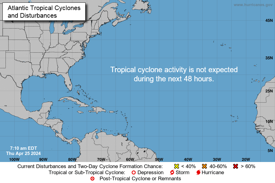
Posted on 10/06/2016 4:10:09 AM PDT by NautiNurse
Hurricane Matthew is big, bad and just downright scary, with iminent and sustained impacts to U.S. mainland. Florida Governor Rick Scott issued a state of emergency for all of Florida and disaster operations are activated. More than 1.5 million Floridians reside in current evacuation zones. Governor Scott has spoken with utilities across the state to ensure utilities are pre-positioned and there are no unmet needs. Multiple coastal hospitals have been evacuated. Meanwhile, feckless President Barack Hussein Obama is personally monitoring the progress of the storm.


Cone of Death Historic Archive Loop

Mash image to find lots of satellite imagery links
Public Advisories
NHC Discussions
NHC Local Hurricane Statements
Florida Radar Loop
Florida & Eastern Gulf Buoy Locations
SE Atlantic Coast Buoy Locations
SE U.S. Radar Sector
FL Emergency Management Disaster Info by County
Local News Sources: Palm Beach Post
WFLC FOX 29
WPTV West Palm Beach
WPEC CBS 12 Palm Beach
My News 13 Brevard
WOFL FOX 35 Orlando
WFTV 9 ABC News Orlando
TC Palm (Treasure Coast)
Space Coast Daily
If the info above doesn't satisfy your need for speed and graphics, strap yourself in for a ride to Mike's Weather Page
I grew up on the coast of NC and my family has been there since Colonial times. One thing I know.....NO ONE can predict what a hurricane will do. Predictions have gotten much better, but no one can be certain.
Andrew and Hugo strengthed as they approached land along the Southeast coast - and both went over the Gulf Stream as Matthew will be doing soon. That is the wild card, and it is not a good one.
Fujita scale aside, there’s a huge difference. Tornados pass through rapidly. Hurricane force winds batter for hours on end.
As of 11:00 am eastern Fowey light off Miami reports 32 knot sustained winds with ugusts to 35 knots or close to 40 mph.
barometer is 29.67 and falling.
The last water temp chart I saw showed the Gulf Stream quite warm, relative to the surrounding water.
And, you are correct, it hasn’t hit it yet.
Hurricanes draw their strength from warm water, they are heat engines.
I would like nothing more than for Matthew to stay 100 miles offshore. But the models are not showing that, the current movement of the storm due NW supports landfall along the central FL coast, so folks need to prepare for the worst.
Not to say your comparison is wrong but Gov. Scott is a Republican. All of the powers that be in New Orleans were, well, they weren’t Republicans and lacked common sense.
The point I was trying to make is any type of straight line winds under 100 mph are survivable and not near as damaging as 120 mph or more. Compared with a tornado with 80 mph winds ripping in a circle and lasting only a brief few seconds, a straight line wind is nowhere near as damaging.
Here's my counter ad.....

Your map shows a central pressure of 993 mb. That’s a strong tropical storm.
Rush is on right now talking out his a@@ about how this is all blown out of proportion. No real structural damage where it’s already hit. he’s being a complete jerk...but of course he’s broadcasting fron L.A. today...not FL. No need to worry but he carried his butt clear across the country. Yesterday he said he wasn’t going to leave he wanted to watch it from his balcony.
Haiti’s fate was much worse due to the criminal clinoton foundation of bill and hill clinton.tHey stole billions form the country of haiti and made things far worse than they had to be.but then that’s how the clinotons treat blacks after they are through using them, they toss them to the lions for sport.
................
http://www.nationalreview.com/article/437883/hillarys-america-secret-history-democratic-party-dinesh-dsouza-clinton-foundation
As I see people in Florida go through these so often and then see them pass them by so they tend to get concerned only when it’s closer to them.
Surprising how the rainfall totals sprawl out in the Carolinas but are so compact in FL and GA.
I’m in northern NC and am looking at 3 to 3.5” according to that map, pretty much out of harm’s way. Just wet, not enough for flooding, with probably a steady breeze and some accompanying thunderstorms.
Reports starting to come in from Haiti: 108 dead, but the assessment has just gotten started there.
Wow great radar!Storm eye just north of Andros Island about even with Homestead Fla. already passed us here in the Keys.
Yes, the European models are usually more accurate.
Seen the latest? Matt loops around and crosses S. Fl and the Keys. Crazy.
And you know that because you are a remote viewer,clairvoyant,a mystic,just plan genious?
Joe Bastardi @BigJoeBastardi 3h3 hours ago Notre Dame, IN
Schedule: @TeamCavuto 1 pm FBN 4 oclock hour Fox news Levin at 7:06 then @seanhannity at 10 oclock hour
Disclaimer: Opinions posted on Free Republic are those of the individual posters and do not necessarily represent the opinion of Free Republic or its management. All materials posted herein are protected by copyright law and the exemption for fair use of copyrighted works.