Posted on 09/10/2004 1:58:54 AM PDT by Diddle E. Squat
000 WTNT44 KNHC 100813 TCDAT4 HURRICANE IVAN DISCUSSION NUMBER 32 NWS TPC/NATIONAL HURRICANE CENTER MIAMI FL 5 AM EDT FRI SEP 10 2004
REPORTS FROM AN USAF RESERVE UNIT AIRCRAFT INDICATE THAT THE CENTRAL PRESSURE IS UP SEVERAL MB FROM THE PREVIOUS MISSION...AND IS NOW 929 MB. THE OBSERVED FLIGHT LEVEL AND DROPSONDE WINDS SUPPORT ABOUT 125 KT OR LESS MAXIMUM SURFACE WIND ...SO THE OFFICIAL WIND SPEED IS LOWERED TO THIS VALUE. THE DEEP CONVECTIVE PATTERN LOOKS A LITTLE RAGGED ON THE NORTH SIDE...BUT THE HURRICANE IS LIKELY GOING THROUGH FLUCTUATIONS. VERTICAL SHEAR AND SSTS ARE FAVORABLE FOR FURTHER INTENSIFICATION FOR ABOUT 48 HOURS. AFTER 48 HOURS... THE LAND MASS OF CUBA AND INCREASING VERTICAL SHEAR SHOULD BRING ABOUT SOME WEAKENING...BUT IVAN COULD STILL REMAIN A RATHER POWERFUL HURRICANE AS IT MOVES OVER CUBA AND INTO THE GULF OF MEXICO.
THE INITIAL MOTION ESTIMATE IS 300/11. THE GLOBAL TRACK MODELS REMAIN IN GOOD AGREEMENT ABOUT A TURN TOWARD THE NORTHWEST AND THEN NORTH OVER THE NEXT 120 HOURS AS IVAN IS STEERED AROUND THE WESTERN PERIPHERY OF THE SUBTROPICAL RIDGE WHICH HAS A WEAKNESS OVER THE GULF OF MEXICO. THERE IS SOME SPREAD TO THE MODELS AFTER 48 HOURS. THE GFS...UKMET...AND GFDL ALL SHOW A TRACK OVER JAMAICA...THEN WESTERN CUBA AND THEN FLORIDA. THE NOGAPS AND FSU SUPERENSEMBLE ARE FURTHER WEST AND ALSO SHOW A TRACK NEAR JAMAICA AND THEN OVER WESTERN CUBA...BUT THEN MOVE IVAN OVER THE GULF TO THE WEST OF FLORIDA. THE OFFICIAL TRACK FORECAST IS SIMILAR TO AND AN UPDATE OF THE PREVIOUS OFFICIAL ADVISORY AND SHOWS A TRACK OVER FLORIDA IN GOOD AGREEMENT WITH A CONSENSUS OF THE MODELS. IT REMAINS... OF COURSE...MUCH TOO EARLY TO BE VERY CERTAIN ABOUT THE THREAT TO FLORIDA.
THE GOVERNMENT OF CUBA HAS DECIDED TO WAIT A LITTLE LONGER BEFORE PUTTING UP A HURRICANE OR TROPICAL STORM WARNING FOR SOUTHEASTERN CUBA.
FORECASTER LAWRENCE
FORECAST POSITIONS AND MAX WINDS
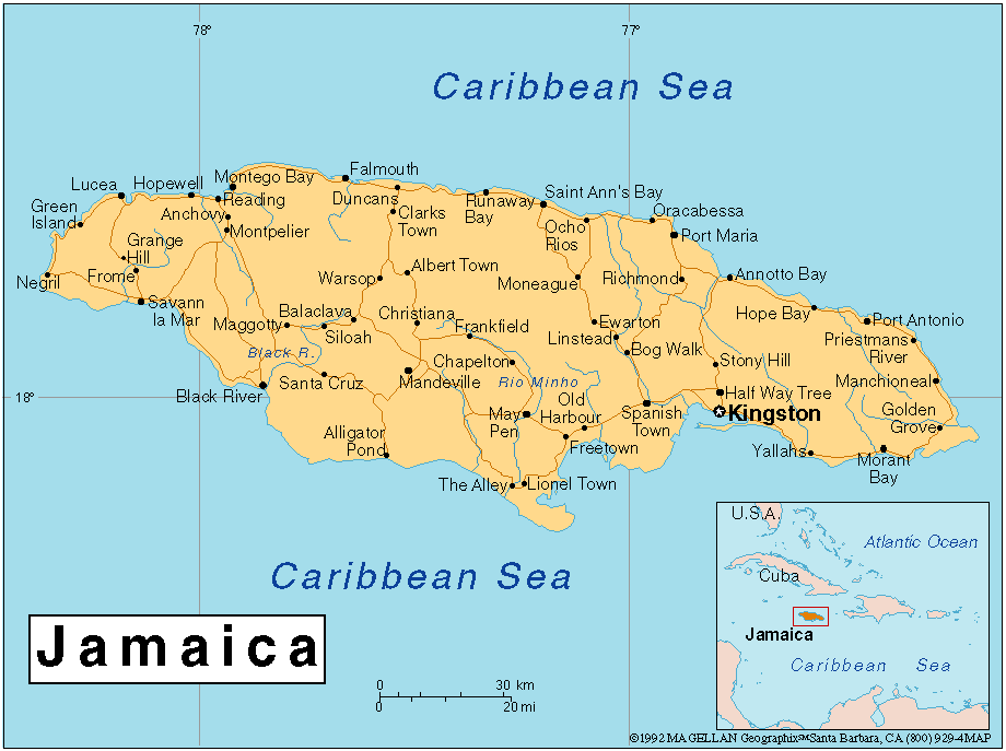
INITIAL 10/0900Z 15.9N 74.2W 125 KT
12HR VT 10/1800Z 16.9N 75.6W 125 KT
24HR VT 11/0600Z 18.0N 77.4W 130 KT
36HR VT 11/1800Z 19.1N 78.9W 135 KT
48HR VT 12/0600Z 20.4N 80.2W 135 KT
72HR VT 13/0600Z 23.3N 81.9W 115 KT
96HR VT 14/0600Z 27.0N 82.5W 115 KT
120HR VT 15/0600Z 31.0N 82.5W 50 KT...INLAND
What's the water vapor now over USA...would you mind giving me a link again? Thanks....
The ridge seems to have quit extending west toward Cuba. A Florida panhandle landfall looks increasingly likely.
But essential personnel remain on base. My brother-in-law is in charge of personnel for Afghanistan and Iraq so I don't think he can just pack up and leave.
Was listening to local talk radio this evening, WIOD and they interviewed a meterologist from the NHC (I believe it was Bill Kammall (sp?). From what he is saying -
It will go North once it gets over Cuba, just how far it moves West before the N. shift is unknown.
Even if it goes W. SE Florida (think Miami, Upper Keys, Homestead, Florida City are) will be affected by the storm.
He would not predict if it will go up the W. Coast towards Tampa or the Panhandle or if it will move up the E. Coast.
Seems to me they are throwing darts at a map of Florida THWAK!!! It might go here!! THWAK!!! It might go there!!
THWAK!!! Oh look, maybe here too!!!!
The whole point of this should be obvious. We will not know where Ivan hits until probably a few hours prior to landfall. It's that type of storm and from what the Hurricane Center in Miami is saying, they will be lucky to be able to give 12 hours of notice.
Good luck to everyone in Florida. I know how difficult it can be to get things like gas and other supplies right now. We still have time to prepare.
If nothing else, Ivan may miss us completely. Look what good we'll do for the economy of the state when we all spend tomorrow fighting to spend our dollars on the last bottled water at Publix....
Take care everyone
#187..I see your point!
Jeanne, Karl, and Lisa are the next names on the list.
Thanks!
A week ago I said Habana and Pensacola. Woohoo!!
Hey, two have hit me. It's not like I have no horse in this race.
Besides, my gut tells me it'll pull a Charlie. No matter though. Shear will kill it before it turns east.
No, I'm not a forecaster. But I did stay in a Motel 6 last night.
You mean a Holiday Inn Express?
No. Usually my forecasts suck ;-)
That can't be the remnants of TD-10. That was much further to the north and east and moving in the opposite direction, and not nearly fast enough to get into that part of the Atlantic that quickly. Here's what it is:
THE BIG FEATURE OVER THE SUBTROPICAL ATLC IS THE MID-OCEANIC UPPER TROUGH WHICH CONTINUES TO FRACTURE FORMING A VERY LARGE UPPER LOW NEAR 29N60W. THE UPPER LOW IS NOW RETROGRADING QUICKLY WESTWARD AND ERODING THE MID/UPPER LEVEL RIDGE WHICH HAS PERSISTED OVER THE W ATLC FOR SEVERAL DAYS. STRONG SUBSIDENCE AND DRY AIR WITH THE UPPER LOW IS SPREADING WESTWARD AND NOW COVERS A GOOD PORTION OF THE W ATLC TO THE SE UNITED STATES COAST. AS A RESULT...DRY/TRANQUIL WEATHER PREVAILS W OF 65W.
Sav A Lot has water 3 gal to a box for 1.69, pretty good deal. They also had plenty of canned meat. Not sure if they all are stocked but the one I went to in Jax was.
You were right though, the rest of the base probably did evacuate - I did a google search on it. The only reason I know my brother-in-law did not is because he talked to my husband after both Charley and Frances. They talk every weekend and I can't imagine what he'll have to say after this one!!! Hopefully it will go a bit west (sorry Louisiana, no offense intended).
:)
There isn't a sav-a-lot within 400 miles of me. Though I wish there was....
We're pretty much stuck with Publix, Winn dixie, Wal-Mart and Sedano's in my neck of the woods.

Disclaimer: Opinions posted on Free Republic are those of the individual posters and do not necessarily represent the opinion of Free Republic or its management. All materials posted herein are protected by copyright law and the exemption for fair use of copyrighted works.