Posted on 09/23/2004 4:37:41 AM PDT by Chairman_December_19th_Society
We will not tire, we will not falter, and we will not fail!
Good morning!!
Do not let the victims of the attacks on New York and Washington, nor the brave members of our Nation's military who have given their lives to protect our freedom, die in vain!!
TROPICAL DEPRESSION IVAN ADVISORY #69
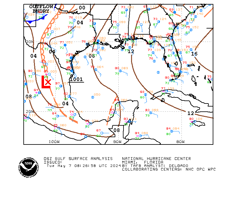
[Used in lieu of normal NHC graphic, which was not available.]
DISCUSSION
...IVAN POORLY ORGANIZED...MIGHT STRENGTHEN A LITTLE BEFORE REACHING TEXAS...
IVAN shows little sign of the normal organization associated with a tropical system (maybe because it is really a cut off LP system trying to behave as a tropical system?). There might be some strengthening before it reaches the coast, but the window for that to occur is closing.
IVAN is being steered by the strong mid-level HP center to its north. That center is forecast to weaken over the next 24 hours, and IVAN will slow after it makes landfall.
Rainfall amounts of 5 to 10 inches are possible along and to the right of the track of IVAN, which may result in life-threatening flash floods.
WATCHES/WARNINGS
A TROPICAL STORM WARNING IS IN EFFECT FROM THE MOUTH OF THE MISSISSIPPI TO SARGENT, TX.
STORM DATA
Fix Time: 5 AM ET / 4 AM CT (0900Z)
Location: 28.2N by 91.6W, or near Chattanooga, TN.
Vector: WNW at 15. This motion is expected to continue for the next 24 hours.
Winds: 40 MPH with some higher gusts.
Pressure: 1007 MB or 29.74"
Diameter of Hurricane Force Winds: N/A.
Diameter of Tropical Storm Force Winds: 170 miles.
Anticipated landfall time: 3 AM, Friday, September 24, 2004.
Anticipated landfall location: High Island, TX (about 20 miles NE of Galveston)
HURRICANE LOCAL STATEMENTS
NEXRAD IMAGERY

SLOSH DATA
Surge heights of 2 to 4 feet above normal are expected to the right of the center when IVAN makes landfall.
TOD DATA
Not applicable for a tropical storm.
STATE-ISSUED OFFICIAL EVACUATION INSTRUCTIONS AND OTHER INFORMATION
[None at this time.]
INTEREST WATCH AREA
Interests along the Louisiana and Texas Gulf coasts should monitor the progress of IVAN.
In the news...
Senator John Effin says that the draft would return if Bush is re-elected.
The Washington Pravda is accusing the Bush campaign of flip-flops since it targets one thing about Kerry, then something else, only to return to the first item.
For AMERICA - The Right Way, I remain yours in the Cause, the Chairman.
LET'S ROLL!!!
Yo!
Hi!
Good morning. I would take Ivan here in a heartbeat...we are seriously dry here and no rain in the forecast for the next week, at least.
The sub sitting in for Michael Savage used the same points you used about the Rather, Presdient Bush-WMD comparison. I agree with them all, but I think it will be hard to convince people like my dad. That's what I was hoping for. I guess it's not worth the effort.
We'll find out today what the next step will be.
I won't be here much...I 've a couple of errands to run and then have to work the afternoon and evening shift....so won't be here much today.
Good morning everyone.
Prayers continue.
We do need rain here, but I was hoping more for an inch or two, not 6 or more.
Feeling better today, Jemian?
I see Ketchup Boy has resorted to scare tactics vis-a-vis the draft. Pretty pathetic.
Ivan has arrived. We're getting a steady downpour.
GOOD A.M. CHAIR, ALL, FROM THE MISSISSIPPI GULF COAST, USA!!!!
Move on Ivan, move on, leave us alone here in Mississippi.
But it looks like we will get some much needed rain here, I need it on my garden, big time.
D and I are 'going to town' today, gee, sounds nice doesn't it. This means a trip to WalMart. GOOD! I am almost out of grits, that is bad as going with air.
This morning I woke to a much brused and cut hand, pulled side, sore ankle, lets see now, that is about it. I gotta remember my age, slow down, be careful, take it easy, NOT! I feel good thus, I do the things I want too.I know how to mesure what I do, I think, D said I don't but I know.
My cats are learning to climb trees at a high rate of speed, the dogs put them up them, all but one, he whips them every time they get after him.
Opps, gotta run, fixin to learn how to work the alarm system, wouldn't go outside this A.M. cause I did not want to meet the police who would have responded. Talk to ya later. Toby
Chair, I think that is a totally despicable threat of Kerry's. I know, so what else is new? That's why I've bookmarked the thread which lysie pinged me to and will refer others to it. It shows that the reinstatement of the draft is a RAT proposition. I don't think it will pass the houses. The volunteer army is working and they are tough. There's no need for a draft now.
lysie, thanks for the ping and I am feeling a modicum better. I hope this small bout of flu innoculates me for later exposures. In 99-2000 when we were here, I got the flu once, but it lasted 2 full weeks and recovery was another 2 weeks. I don't want to do that again.
Somewhat, but I'm not gonna do much today. Except we're having some alumni over after the game (we think around 50 -75) and so I need to do some prep work for that.
YO! :-)
Wow!

DISCUSSION
...JEANNE HEADING FOR FLORIDA...MIGHT BE A CATEGORY III ON ARRIVAL...COULD ALSO RE-ENTER NORLANT AND THEN STRIKE SOUTH CAROLINA--ALSO AS A HURRICANE...
JEANNE is meandering at the moment. The storm should start to move smartly west later today, and maintain that motion through the next couple of days around the periphery of a powerful mid-level HP system moving E from eastern CONUS.
At VT forecast plus four days, JEANNE should begin to turn NW, and then NNE at VT forecast plus five days.
There is a problem, however.
The Florida coastline will be reached at VT forecast plus four days.
Intensity is an interesting puzzle. Because JEANNE has been nearly stationary for a week, SSTs near the cyclone are 27 degrees, somewhat cool for intensification. However, as the cyclone moves west, it will move over waters that haven't been upwelled, including the 29 degree Gulf Stream.
Residents of central Florida should begin now to prepare for the arrival of a major hurricane this weekend.
WATCHES/WARNINGS
AT 5 AM AT/ET, THE GOVERNMENT OF THE BAHAMAS HAS ISSUED A TROPICAL STORM WATCH FOR THE CENTRAL BAHAMAS, INCLUDING CAT ISLAND, THE EXUMAS, LONG ISLAND, RUM CAY, AND SAN SALVADOR.
A HURRICANE WATCH MAY BE REQUIRED FOR THE NORTHERN BAHAMAS LATER TODAY.
STORM DATA
Fix Time: 5 AM AT/ET (0900Z)
Location: 25.5N by 69.5W, or 530 miles E of Great Abaco Island.
Vector: W at 3 MPH. An increase in forward speed is expected today.
Winds: 100 MPH 1-minute sustained. A slow increase in strength is likely today.
Pressure: 966 MB or 28.53"
Diameter of Hurricane Force Winds: 90 miles.
Diameter of Tropical Storm Force Winds: 280 miles.
Anticipated Landfall Time: 2 PM, Sunday, September 26, 2004.
Anticipated Landfall Location: Cape Canaveral, FL.
HURRICANE LOCAL STATEMENTS
[None at this time.]
NEXRAD IMAGERY
[No part of JEANNE is within 124 nautical miles of any CONUS or Puerto Rico NEXRAD site.]
SLOSH DATA
[None at this time.]
TOD DATA
[None at this time. TOD data will be calculated if and when hurricane warnings are posted for CONUS and apply only to CONUS territories.]
STATE-ISSUED OFFICIAL EVACUATION INSTRUCTIONS AND OTHER INFORMATION
[There are no such documents for this system at this time.]
INTEREST WATCH AREA
Interests in the Bahamas, along with the United States Atlantic littoral from Florida to North Carolina should monitor the progress of JEANNE.
Michael Wolffe looks as though he should be on Candid Camera...Alan Funt's brother? LOL
Rove touts Bush headway Bill Sammon
K's grand Deception RA Roy Hoffman
Terror war pirouette Don Lambro
Ghosting for Les Hugh Hewitt
Dead Soldiers Ralph Peters
The Mass. drifter Tony Blankley
Disclaimer: Opinions posted on Free Republic are those of the individual posters and do not necessarily represent the opinion of Free Republic or its management. All materials posted herein are protected by copyright law and the exemption for fair use of copyrighted works.