Posted on 02/27/2010 8:25:53 AM PST by jay1949
Cades Cove is a community frozen in time. Some of the log cabins and other buildings in Cades Cove were preserved and restored. These log and timber buildings now make Cades Cove a major draw in the Great Smoky Mountains National Park. {30 vintage photographs}
(Excerpt) Read more at backcountrynotes.com ...
I’ve been there. I love the Smokies so much. I could spend the rest of my life there.
I see they sell the old fashioned chocolate gravy mix. I ordered some. It is so good on a biscuit.
It can get crowded at times, especially in late October when the leaves are turning. It has taken me an hour to get through Gatlinburg.
I have been there the first week of November and found it much better. The leaves were still beautiful, there was snow in the higher elevations, much of the crowd was gone and the rooms were significantly cheaper.
*ping*
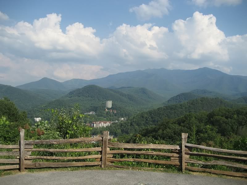
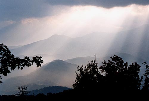
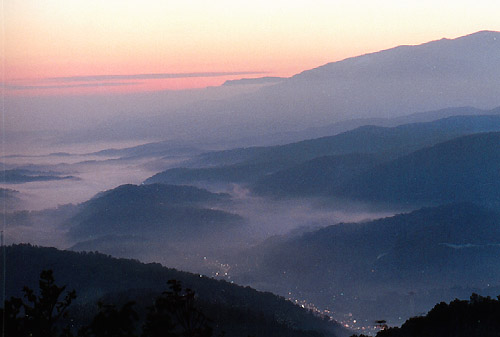
This is so cool. The pictures on the site and then the beautiful pictures people posted. I may change vacation plans this year, I’ve never visited the Smokies but have always wanted to.
The view from Thunderhead looking down into Cades Cove is well worth the hike about any time of year. If someone is in reasonable physical shape it can be a one day hike with a total of around 12-14 miles. Perons will need to pay close attention to the trail signs and never let kids out of their site hiking the area for any reason. Hiking there is fun and enjoyable but it can be deadly if you don't know what you're doing and go off the established trail. Much for so for a child. I was on that trail hiking the day following when they lost a 6 year old boy that was never found. That was in June 1969.
Spence Field, Russell Field, and Thunderhead Bald are on top of the mountain above the campground/picnic area side of the Cover. They are as I understand it natural fields and were used by the early settlers in the summer months. The trail is mainly an old narrow gauge rail road bed in most places built before the park. The abandoned railroad beds used for logging in the early 1900's became hiking trails in many places. To look at the pictures of this area and other parts of the Smoky's in the early 1900's it was vastly different as the mountains had been timbered off. In other words what you see now is a result of the land gone back to nature close to 100 years later.
I've hiked quite a bit in that area in my youth including several back country hikes over the mountain into an area called Eagle Creek for trout fishing.
I’m embarrassed to admit I have not been to Cades Cove since August 1979 (right about my 5th birthday). I hope to go back again sometime, but when my health is better. It’s a bit taxing for me to do long walks, though. I had a bit of trouble when I visited Cloudland Canyon State Park in NW Georgia (a beautiful state park if you ever get the chance to see it, reminiscent of some Western parks) with my being woefully out-of-shape to attempt a descent down to see a waterfall there, and that was a relatively short trail, just a bit arduous for me since you had to descend and ascend into and out of a canyon.
I hiked up to Rocky Top about 15 years or so ago. I couldn’t do it now nor will I likely ever again. I have trouble walking two miles on level ground these days. My feet won’t take it.


Beautiful.
Here’s a great link for wonderful views of the Smoky Mountains...
http://www.clinchmountainhome.com/travel/smokymountains/SmokyMountains.html
If I remember correctly, several of the families who settled in Cades Cove were given land grants for service in the Revolutionary War.
My wife's paternal ancestors as well as the paternal ancestors of one of my brothers in-law were among the families who settled in the Cove.
My paternal ancestors settled in nearby Wears Valley.
It's beautiful country up there alright, but you can bet that it was a hard way of life back in those days.
Our Southern Highlanders by Horace Kephart is a great read about living in the Smokies 100 years ago.
Free online: http://tinyurl.com/yk2qyut
In the fall mornings those fields have deer herds and turkeys galore.
The original buildings and, in some cases no buildings at all, are long gone. Some new comers to the area have no idea how to pronounce the names or care for that matter.
Some old cabins still exist, some land marks, such as Maidens Grave, still mark the trail that the gold hungry crowd followed to get here trying to find the yellow metal. Far too few of them in my opinion.
The old names such as "The Old Dry Diggins(now Plymouth), Hangtown(Now Placerville), Bottileas(now known as Jackson, the original name was Portuguese, meaning "place of bottles") and Rancheria(which only exists in history books, but if you know which old road to take is still visible with one concrete marker) are gone forever, the victims of an uncaring youth.
Disclaimer: Opinions posted on Free Republic are those of the individual posters and do not necessarily represent the opinion of Free Republic or its management. All materials posted herein are protected by copyright law and the exemption for fair use of copyrighted works.