Free Republic
Browse · Search
General/Chat
Topics · Post Article

This thread has been locked, it will not receive new replies.
Locked on 08/16/2007 6:18:59 AM PDT by Religion Moderator, reason:

See new thread: http://www.freerepublic.com/focus/f-chat/1881951/posts


Skip to comments.

Hurricane Dean approaching the Lesser Antilles
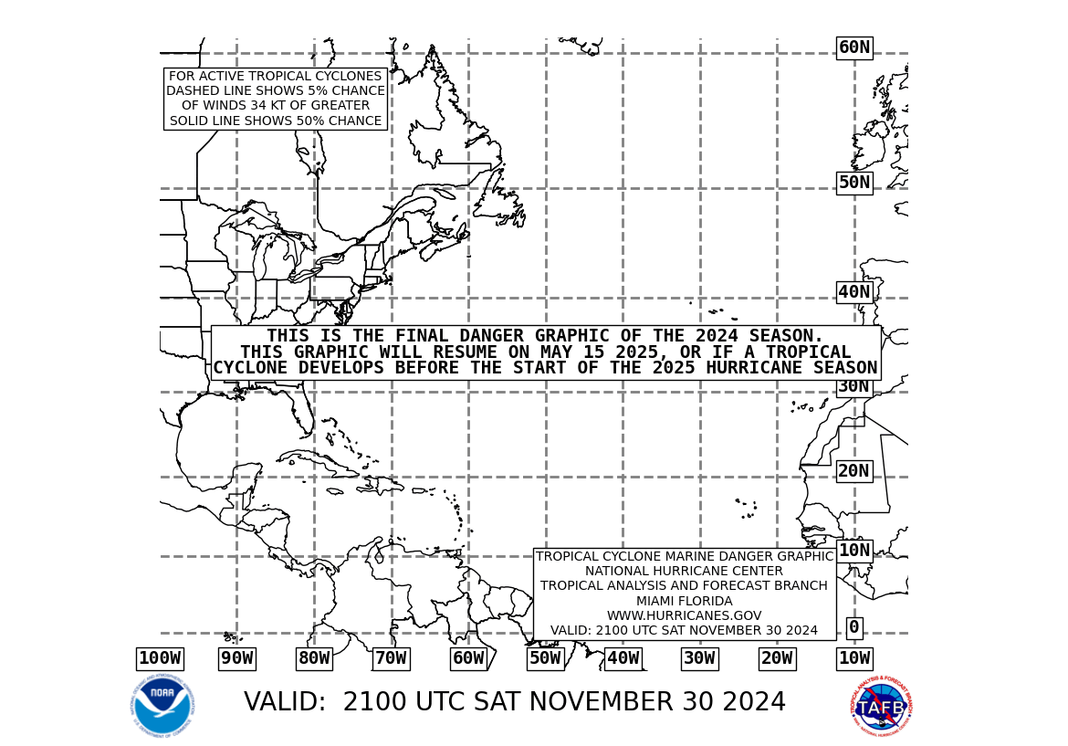
NOAA ^ | 2007-08-12 | (mariner's 1-2-3 rule chart)

Posted on 08/12/2007 3:11:05 AM PDT by Clive

This chart will automatically update periodically.


TOPICS: Weather
KEYWORDS: 07cyclone; predictions; tsdean; yaaargh
Navigation: use the links below to view more comments.
first previous 1-20 ... 101-120121-140141-160 ... 181-192 next last
To: NautiNurse

121 posted on 08/14/2007 3:46:25 PM PDT by floriduh voter (Terri's Legacy List - 8mmmauser & DUNCAN HUNTER FOR PRESIDENT)
[ Post Reply | Private Reply | To 88 | View Replies]

To: floriduh voter

Steve Jerve says Dean is on target to become a major storm. Still a long way to go before we need to get our feathers ruffled.


122 posted on 08/14/2007 3:55:36 PM PDT by NautiNurse (Action speaks louder than words but not nearly as often.)
[ Post Reply | Private Reply | To 121 | View Replies]

To: NautiNurse

Yeah, this is the appropriate time to post Dean Martin photos while Hurricane Dean is still far away. I’m not concerned yet. BTTT


123 posted on 08/14/2007 4:31:40 PM PDT by floriduh voter (Terri's Legacy List - 8mmmauser & DUNCAN HUNTER FOR PRESIDENT)
[ Post Reply | Private Reply | To 122 | View Replies]

To: CindyDawg
Looks like the one down by the Yucatan is coming whether we want it or not.


124 posted on 08/14/2007 4:37:12 PM PDT by SouthTexas
[ Post Reply | Private Reply | To 116 | View Replies]

To: floriduh voter; Extremely Extreme Extremist
Yeah, this is the appropriate time to post Dean Martin photos

The Howard Dean impressions are entirely too funny. Thoroughly broke into LOL this afternoon when suddenly recalling this post from yesterday:

"We're going to smash into Cuba, then into the Keys, then Florida, and finally into SC YEEAAARRRGGHHH!!"

Cheers!

125 posted on 08/14/2007 5:37:48 PM PDT by NautiNurse (Action speaks louder than words but not nearly as often.)
[ Post Reply | Private Reply | To 123 | View Replies]

To: SouthTexas

Y’all gonna get wet, fer sure. No telling yet where Dean will mess up beach plans.


126 posted on 08/14/2007 5:47:47 PM PDT by NautiNurse (Action speaks louder than words but not nearly as often.)
[ Post Reply | Private Reply | To 124 | View Replies]

To: NautiNurse

If you still have your collection of storm boats, we may need to borrow a few. :)


127 posted on 08/14/2007 5:55:05 PM PDT by SouthTexas
[ Post Reply | Private Reply | To 126 | View Replies]

To: abb

If it reaches hurricane status, it could devastate the island of Hispaniola (Haiti & Dominican Republic)


128 posted on 08/14/2007 5:56:05 PM PDT by Extremely Extreme Extremist
[ Post Reply | Private Reply | To 119 | View Replies]

To: SouthTexas

Ready or not, huh? I’m confused about something though. I read landfall Wed evening. Tomorrow? It sure seems like a ways out still. If they meant next Wed, that’s troubling.


129 posted on 08/14/2007 6:19:42 PM PDT by CindyDawg
[ Post Reply | Private Reply | To 124 | View Replies]

To: CindyDawg

I read the same and was confused, too. Maybe they meant the ‘bands’ starting to make landfall.

Stay safe all South Texans!


130 posted on 08/14/2007 6:50:10 PM PDT by Pebcak
[ Post Reply | Private Reply | To 129 | View Replies]

To: Extremely Extreme Extremist
If it reaches hurricane status, it could devastate the island of Hispaniola (Haiti & Dominican Republic)

On a more positive note, the Hispaniola mountains of Cordillera Central with Pico Duarte; Cordillera Septentrional, and Sierra de Neiba mountains are tropical storm killers. In other words, the rugged and high Hispaniola mountain ranges are awe inspiring tropical storm killers.

Worst case scenario for the rest of us is that Dean would skirt Hispaniola and Cuba mountains. We should shudder at the thought.

131 posted on 08/14/2007 6:55:55 PM PDT by NautiNurse (Action speaks louder than words but not nearly as often.)
[ Post Reply | Private Reply | To 128 | View Replies]

To: Guenevere
It means that there is no mandatory evacuation -- even for a CAT 5.

Not that I'd want to be here during a CAT 5, but after Charley did his quick shift in direction, it's hard to know what to do. We almost left Pinellas for Orlando during Charley-- which would have been a huge mistake.

132 posted on 08/14/2007 7:05:42 PM PDT by Chanticleer (Courage is not simply one of the virtues but the form of every virtue at the testing point. Lewis)
[ Post Reply | Private Reply | To 105 | View Replies]

To: CindyDawg
The storm chasers haven't found a verifiable circulation center for the GOM system headed your way. You and I both know TS can happen at the drop of a hat in the hot tub warm GOM.

IOW--stay alert, and be prepared, as we all know.

I'm sure this is why the NWS issued the "oh-by-the-way" tropical system statement for the next couple of days. They can't officially warn you of a storm that hasn't officially formed in the hot tub yet.

133 posted on 08/14/2007 7:05:46 PM PDT by NautiNurse (Action speaks louder than words but not nearly as often.)
[ Post Reply | Private Reply | To 129 | View Replies]

To: Guenevere
It means that there is no mandatory evacuation -- even for a CAT 5.

Not that I'd want to be here during a CAT 5, but after Charley did his quick shift in direction, it's hard to know what to do. We almost left Pinellas for Orlando during Charley-- which would have been a huge mistake.

134 posted on 08/14/2007 7:05:55 PM PDT by Chanticleer (Courage is not simply one of the virtues but the form of every virtue at the testing point. Lewis)
[ Post Reply | Private Reply | To 105 | View Replies]

To: CindyDawg
Easily by tomorrow. I think some of that today was outer bands. Check this out:


135 posted on 08/14/2007 7:08:37 PM PDT by SouthTexas
[ Post Reply | Private Reply | To 129 | View Replies]

To: NautiNurse; CindyDawg
This is what the Navy is calling it:

05L.NONAME :)

136 posted on 08/14/2007 7:13:38 PM PDT by SouthTexas
[ Post Reply | Private Reply | To 133 | View Replies]

To: SouthTexas

Well you know how it is. CC and below just unpopulated desert:’)


137 posted on 08/14/2007 7:16:55 PM PDT by CindyDawg
[ Post Reply | Private Reply | To 136 | View Replies]

To: CindyDawg
Prit near. LOL We were about 20 miles south of CC today and got wet. And if you go to Corpus, Don't drink the water!

Here's some of the previous tracks "a la Dean".

138 posted on 08/14/2007 7:22:39 PM PDT by SouthTexas
[ Post Reply | Private Reply | To 137 | View Replies]

To: SouthTexas
Maybe. This was coming off the Gulf about 9am. I have seen green rolling hail clouds but this was different. It looked low and heavy and very ominous. It passed by and 30 minutes later it was clear skies and hot.
139 posted on 08/14/2007 7:37:25 PM PDT by CindyDawg
[ Post Reply | Private Reply | To 138 | View Replies]

To: NautiNurse

Yeah, I don’t want to take focus away from Dean but as long as it is out there we need to stay on guard.


140 posted on 08/14/2007 7:39:01 PM PDT by CindyDawg
[ Post Reply | Private Reply | To 133 | View Replies]


Navigation: use the links below to view more comments.
first previous 1-20 ... 101-120121-140141-160 ... 181-192 next last

Disclaimer: Opinions posted on Free Republic are those of the individual posters and do not necessarily represent the opinion of Free Republic or its management. All materials posted herein are protected by copyright law and the exemption for fair use of copyrighted works.

Free Republic
Browse · Search
General/Chat
Topics · Post Article

FreeRepublic, LLC, PO BOX 9771, FRESNO, CA 93794
FreeRepublic.com is powered by software copyright 2000-2008 John Robinson