Posted on 10/06/2016 4:10:09 AM PDT by NautiNurse
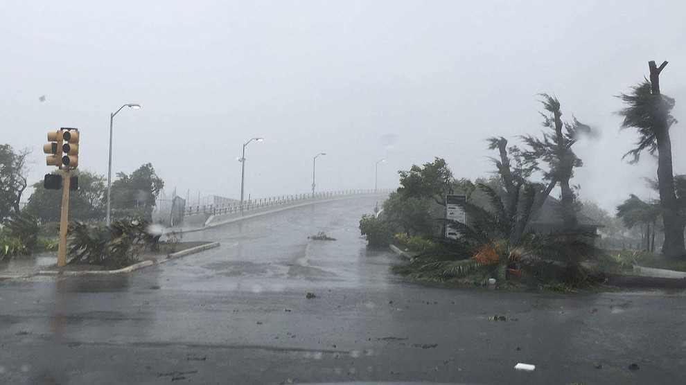
Hurricane Matthew is big, bad and just downright scary, with iminent and sustained impacts to U.S. mainland. Florida Governor Rick Scott issued a state of emergency for all of Florida and disaster operations are activated. More than 1.5 million Floridians reside in current evacuation zones. Governor Scott has spoken with utilities across the state to ensure utilities are pre-positioned and there are no unmet needs. Multiple coastal hospitals have been evacuated. Meanwhile, feckless President Barack Hussein Obama is personally monitoring the progress of the storm.


Cone of Death Historic Archive Loop

Mash image to find lots of satellite imagery links
Public Advisories
NHC Discussions
NHC Local Hurricane Statements
Florida Radar Loop
Florida & Eastern Gulf Buoy Locations
SE Atlantic Coast Buoy Locations
SE U.S. Radar Sector
FL Emergency Management Disaster Info by County
Local News Sources: Palm Beach Post
WFLC FOX 29
WPTV West Palm Beach
WPEC CBS 12 Palm Beach
My News 13 Brevard
WOFL FOX 35 Orlando
WFTV 9 ABC News Orlando
TC Palm (Treasure Coast)
Space Coast Daily
If the info above doesn't satisfy your need for speed and graphics, strap yourself in for a ride to Mike's Weather Page
Apparently NHC site crashed, Levi Cowan reporting HH/recon data down.
National weather service offline. Even causing Drudge some problems.
LOL
Yeah Graphics at the top of this thread not loading as well.
Wow they just came back online.
DO NOT BE A THRILL SEEKER OR RISK YOUR LIFE FOR SENSELESS PHOTOS OR VIDEOS. BE WISE AND AVOID BECOMING ANOTHER STATISTIC.
Bad timing...


Nassau photo gallery
http://www.tribune242.com/photos/galleries/2016/oct/06/hurricane-matthew-hits-nassau/
New track/cone good news: No technical FL landfall, so maybe insurance premiums won’t rise. A landfall is when the center of the eye strikes land, not just part of the eyewall.
It has been awhile...hasn’t it?
Not MY fault y’all can’t cobble up any ‘canes of note in what...11 years?
:-D
Summary of 1100 PM EDT...0300 UTC...information
-----------------------------------------------
location...27.1n 79.2w
about 50 mi...80 km NNW of Freeport Grand Bahama Island
about 125 mi...200 km se of Cape Canaveral Florida
maximum sustained winds...130 mph...215 km/h
present movement...NW or 325 degrees at 13 mph...20 km/h
minimum central pressure...939 mb...27.73 inches

Thank you all for your suggestions...
Weather Channel let me in this time...no problem..
Showing Fort Pierce right now..

Thx Nauti.
Is this this guy REALLY gonna loop the loop and smack em twice?
I thought they only legalized that stuff in Colorado.
SMDH.
Looks to me like he got just close enough...or is still...to scrub off some major evil...without really hurting anything ashore.
This lap, anyway.
Well...so far.
Disclaimer: Opinions posted on Free Republic are those of the individual posters and do not necessarily represent the opinion of Free Republic or its management. All materials posted herein are protected by copyright law and the exemption for fair use of copyrighted works.