
| This thread has been locked, it will not receive new replies. |
|
Locked on 08/28/2012 10:11:43 AM PDT by Sidebar Moderator, reason:
New thread here: http://www.freerepublic.com/focus/f-news/2923793/posts |
Posted on 08/22/2012 1:47:19 PM PDT by NautiNurse
Tropical Storm Isaac threatens to dampen the Republican National Convention Monday in Tampa, Florida. National media outlets are having a grand time anticipating a Grand Old Party washout. Tampa mayor Bob Buckhorn (D) announced Wednesday that he is absolutely prepared to call off the convention next week, with anticipated attendance of 70,000 delegates, party officials, journalists, protesters and others. Buckhorn has not indicated that he would attempt to mitigate liberal protests or a hastily planned Joe "Plugs" Biden visit to Tampa during the convention.
Time will tell. Stay tuned...


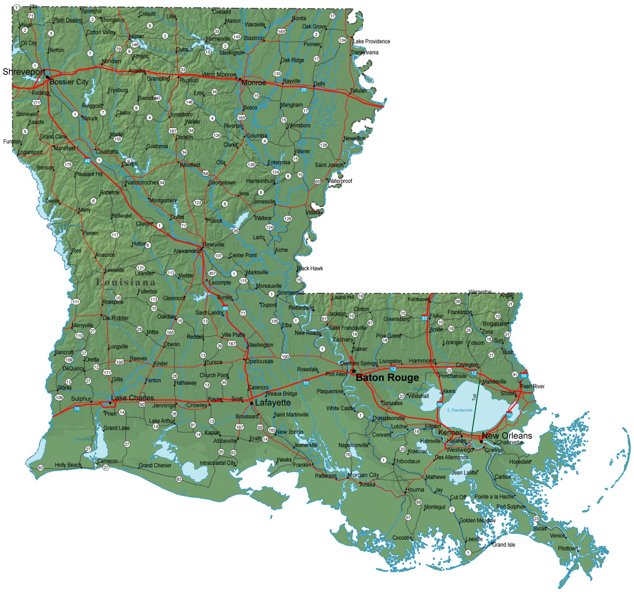
![]()
Sea Surface Temps
Buoy Data:
Caribbean W. Carib and Florida
Radar:
Puerto Rico Gitmo, Cuba, Key West & Tampa Bay
Saw a NOAA observation post down past Pilottown (just as far to the south and east as you can get on that map) indicating 22 KT sustained winds.
I keep harping on it, but if this is truly a 976 mb storm, then I can't understand the apparent reluctance to go ahead and declare Isaac a hurricane. Doesn't make sense to me - especially with multiple recon reports indicating that the wind speeds are there. I'm not about hype, but I am concerned about public safety, and if that word "hurricane" makes people take care of themselves better, then let's save a few lives.

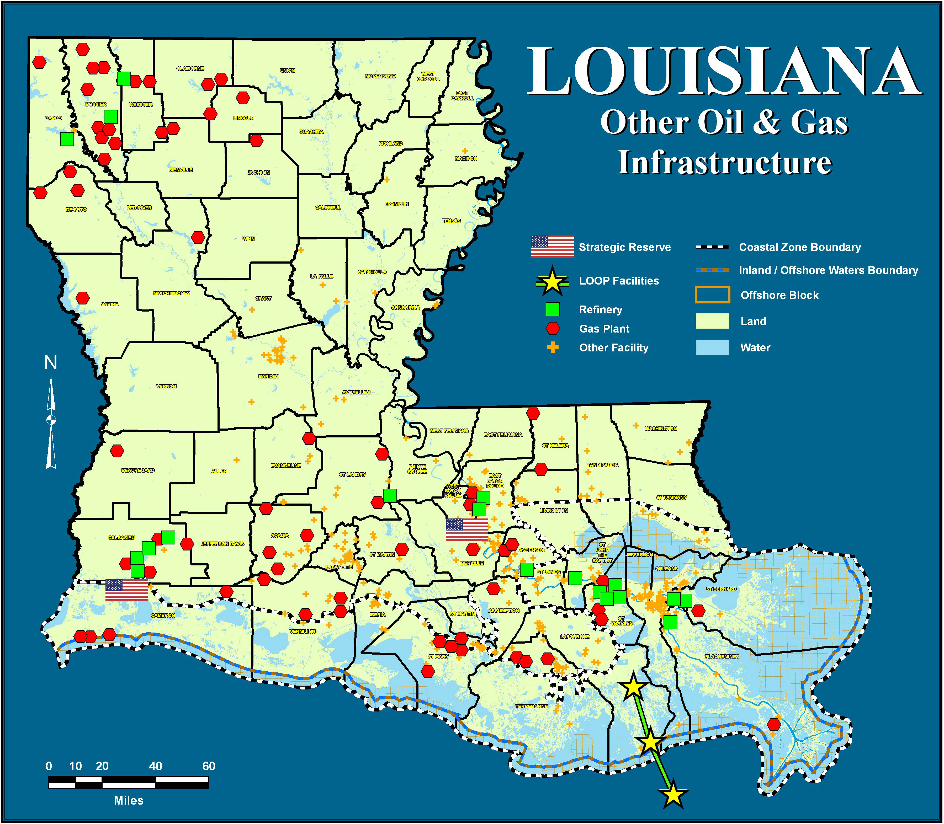
http://dnr.louisiana.gov/assets/images/oilgas/refineries/LA_Other_Facilities_rev031808.jpg
Tropical Storm Isaac Discussion Number 29 Statement as of 4:00 am CDT on August 28, 2012
reports from the Air Force hurricane hunter aircraft indicate that
the central pressure has dropped a little more...but so far...the
maximum flight-level and SFMR-observed surface winds still do not
quite support hurricane intensity.
The current intensity is held
at 60 kt pending additional observations from the hurricane
hunters. Although the wind field remains rather broad and
relatively flat...recent aircraft data suggest that the maximum
winds are now occurring somewhat closer to the center over the
northern semicircle of the cyclone. This would suggest that the
inner core circulation is becoming better defined...and
strengthening might be imminent.
Upper-level outflow is
well-established over the southern semicircle of the system...but
central convection continues to fluctuate. The latter is
presumably due to a continued intrusion of dry air into the core
region.
The statistical-dynamical guidance is a little lower than
in previous runs...and the storm has only about 12-24 hours before
moving inland. The official intensity forecast is just slightly
lower than the previous one.
Center fixes from the aircraft indicate that the storm has wobbled
on a generally westward course over the past few hours. This is
believed to be temporary...however...and the longer-term motion
estimate is about 305/10. The current and forecast steering regime
are basically the same as in the previous package.
Isaac is
expected to move into a weakness in the subtropical ridge near the
north-central Gulf Coast...with some slowing of forward speed
during the next couple of days as a ridge builds a little to the
northwest of the cyclone. Later on...the system should turn
northward and northeastward into the Ohio Valley region as it moves
around the western periphery of a mid-level anticyclone.
Isaac is a large tropical cyclone. A dangerous storm surge...heavy
rainfall...and strong winds extend well away from the center and
are expected to affect a large portion of the northern Gulf Coast.
For this reason...it is important not to focus on the exact center
location. The threat of heavy rainfall and flooding is also
expected to spread inland over the lower Mississippi Valley region
during the next few days.
Forecast positions and Max winds
init 28/0900z 27.5n 88.1w 60 kt 70 mph
12h 28/1800z 28.5n 89.1w 70 kt 80 mph
24h 29/0600z 29.5n 90.1w 75 kt 85 mph...near the coast
36h 29/1800z 30.3n 90.9w 55 kt 65 mph...inland
48h 30/0600z 31.4n 91.5w 45 kt 50 mph...inland
72h 31/0600z 34.5n 92.5w 25 kt 30 mph...inland
96h 01/0600z 38.0n 91.5w 20 kt 25 mph...Post-trop/remnt low
120h 02/0600z 40.5n 87.0w 15 kt 15 mph...Post-trop/remnt low
$$
forecaster Pasch
Read more at http://www.wunderground.com/tropical/at201209.disc.html#yISqTOl93QS27C8Z.99
All media relies on the National Weather Service for the data it broadcasts and/or publishes.
Guess what! The National Weather Service is a part of and under the jurisdiction of the federal Department of Commerce.
The Department's former head was Obama appointee, Secretary of Commerce, John Bryson. He is notable because of his recent involvement in a pair of consecutive car crashes which were investigated as possible felony hit and run.
Bryson resigned, to be replaced by Obama appointee, Acting Secretary Rebecca Blank. She's a leftist academic hack with a poverty pimp background who is in the same ideological mold of all the lefty appointees and czars of the commie Obama.
So, it's no surprise that the bulletins and data provided virtually minute-by-minute by the National Weather Service would be POLITICIZED, showing weather conditions designed in various clever (and false) ways to frighten the organizers and attendees at the GOP convention. Rush devoted an entire segment to this very fact yesterday.
This is what the Left does. Its tentacles are everywhere, and its disciples, adherents, bureaucrats and stooge media will always carry out their propaganda duties faithfully, including pimping the weather.
Leni
Yeah - saw that: apparently they can’t read their own data. The primary purpose for the NHC is public safety. I don’t get this... it’s been a hurricane for 24 hours now.
John Coleman’s vision (twc) has been turned into nothing more than a bimbo erupted storm chasing piece of trash.
We are lucky this storm is not 125 mph.
I just talked to a friend in NC near Wilmington and they are getting feeder bands there,hard to imagine.

On/Off Hurricane List Mash Here--> 
There is absolutely NO WAY this storm is still 70 MPH tropical storm.
Every indicator out there scream 80 MPH plus hurricane — 976 MB central pressure, flight level winds in excess of 80 Knots, closed eye structure now on SAT and radar.
Yet NHC REFUSES to upgrade it.
Are they afraid they might have to call the poser in cheap off the Golf Course if they do?????

Definitely a strange storm. Florida Atlantic coast was hammered by fierce squalls and tornadoes yesterday, while the Gulf coast had sporadic showers, and a couple of brief twisters.

There are multiple sources for this info that are all in agreement, but I'll use this one, 'cause the formatting is easier:
Category Two Hurricane
Disclaimer: Opinions posted on Free Republic are those of the individual posters and do not necessarily represent the opinion of Free Republic or its management. All materials posted herein are protected by copyright law and the exemption for fair use of copyrighted works.