I think this is "before & after"...


I’m a bit confused as to the statements that the intersection is worse than it was. Google earth timeline show that highway used to make a turnto the east and tie into the other highway several hundred feet away. Then they “T’d” up ahen they rebuilt it. Looking at the signs ahead of the stop sign they have a stop ahead sign 300 or so feet away and before that about 600 feet away they have a 50mph sign. Kind of stange that they post 50mph less than 1/4 mile from a stop sign. This could be a big part of the problem.
I think this is "before & after"...
There is a descending grade warning sign posted at the top of the hill:

I'm a civil engineer who deals with this sort of thing all the time. I'll make a few initial observations here that shouldn't be construed as "engineering judgment" of any kind:
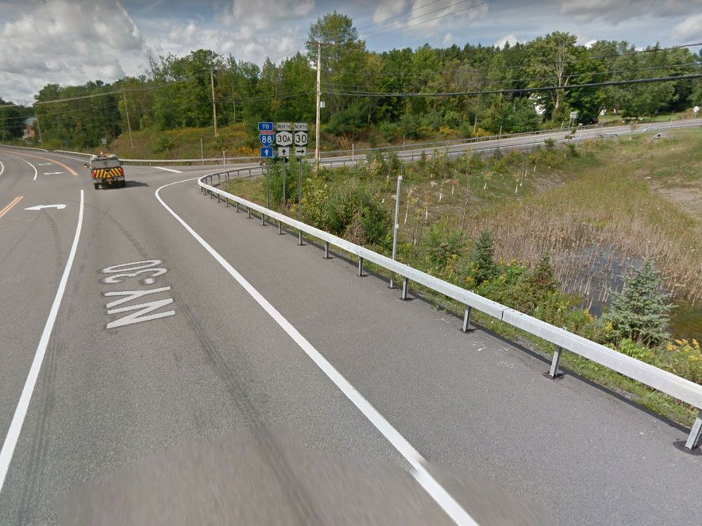
1. The roadway geometry doesn't appear to be a problem here.
2. If there have been multiple crashes at this location that follow a similar pattern, then it's likely an issue of driver error coupled with the stop control location at an intersection where the Route NY-30 designation is carried on intersecting roads instead of the "through" road. Motorists traveling westbound on NY-30 can either drive straight onto NY-30A or make a right turn and stay on NY-30. Motorists traveling southbound on NY-30 (the path of the limousine in this crash) must come to a stop and either turn right onto NY-30A or turn left to stay on NY-30. These roadway designations may be confusing to motorists who might expect NY-30 to always have an unconstrained "through" movement at a stop-controlled intersection like this.
3. Two possible improvements for the southbound NY-30 approach to this intersection would be: (A) add flashing yellow lights on the "stop sign ahead" sign that is several hundred yards ahead of the intersection; and (B) install a larger stop sign at the intersection and add flashing red warning lights to it.