
Posted on 09/09/2017 2:08:31 PM PDT by NautiNurse
The entire Florida Peninsula and points north are poised to experience Hurricane Irma after the storm hugged Cuba's northern coastline. Thousands of Floridians who evacuated the Atlantic cost to Gulf Coast areas found their safe shelter under direct threat from Hurricane Irma as the forecast shifted W Friday night and Saturday. Hurricane Irma's prolonged interaction with Cuba diminished its strength to Category 3.
Irma is forecast to increase in strength as it crosses the FL Straits. The Florida Keys experienced strong outer bands while Irma grazed the N Cuba coastline.


Mash image to find lots of satellite imagery links
Public Advisories
NHC Discussions
NHC Local Weather Statements/Radar Key West, FL
NHC Local Weather Statements/Radar Tampa Bay, FL
NHC Local Weather Statements/Radar Orlando, FL
NHC Local Weather Statements/Radar Miami, FL
NHC Local Weather Statements/Radar Melbourne, FL
NOAA Local Weather Statements/Radar Jacksonville, FL
NHC Local Weather Statements/Radar Charleston, SC
NHC Local Weather Statements/Radar Wilmington, NC, FL
NHC Local Weather Statements/Radar Morehead City, FL
NHC Local Weather Statements/Radar Norfolk, VA
Buoy Data SE US & GOM
Buoy Data NC/SC/GA
Hurricane Irma Live Thread I
Hurricane Irma Live Thread II
In this case I think it all about time over the water without land interaction that will mainly determine how strong it gets. As it pulls away from Cuba it should start gaining strength. Once it finds more land then it will weaken again. It seems that all the water it will be in will be warm.
BULLETIN
Hurricane Irma Intermediate Advisory Number 43A
NWS National Hurricane Center Miami FL AL112017
800 PM EDT Sat Sep 09 2017
...HEAVY SQUALLS WITH EMBEDDED TORNADOES SWEEPING ACROSS SOUTH
FLORIDA...
SUMMARY OF 800 PM EDT...0000 UTC...INFORMATION
“”Send us some prayers and encouragement””
DONE! Your post is very well said!
Looks like the turn may be happening.
Density.. every time
Good tracker graphic:
http://www.nhc.noaa.gov/archive/2017/IRMA_graphics.php
IRMA Graphics Archive:
Initial Wind Field and Watch/Warning Graphic
That is what I was thinking last night, what if Irma does NOT turn at all and just continues west she ends up in Texas right? I bet all of these weather models ALL turn out to be wrong..heck Janine Dean said earlier she expected Irma to increase in strength because its over warm waters(over 90 degrees) yet it just dropped another 5mph
...or maybe they spent Billions of tax Dollars on crappy computer models.


See the date on the bottom. That is old.
Latest Update: STILL slowing down.. down to 7 mph
DISCUSSION AND 48-HOUR OUTLOOK
A NOAA Hurricane Hunter aircraft has found that Irma’s intensity is
a little lower, and the maximum sustained winds are estimated to be
near 120 mph (195 km/h) with higher gusts. Irma is a category 3
hurricane on the Saffir-Simpson Hurricane Wind Scale. Irma is
forecast to restrengthen once it moves away from Cuba and remain a
powerful hurricane as it approaches Florida.
Hurricane-force winds extend outward up to 70 miles (110 km) from
the center, and tropical-storm-force winds extend outward up to 195
miles (315 km). Marathon International Airport recently reported a
sustained wind of 48 mph (77 km/h) and a gust to 67 mph (108 km/h).
The minimum central pressure based on aircraft data is 932 mb
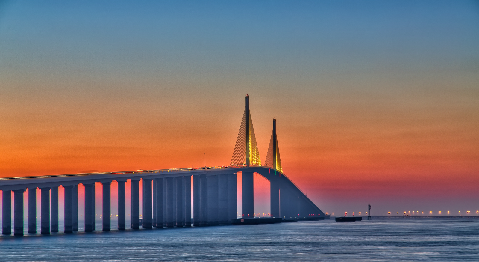
Here’s the Skyway Bridge disaster story:
Not much of a turn that I could see. Irma won’t hit Florida now if it turns NW. It will have to turn NWN to skirt the east coast of Florida now.
My mistake. However, meteorologists were still using that trajectory as late as Friday morning.
Not exactly... They just mis-judged the timing of when Irma and the front would collide...
The front slowed a little... Irma slowed a little. I mean, they only missed the guess by ~ 24 hours.. but, that’s enough to move the track from East coast to West coast.

Pretty darn good!
Guess TWC thought they could sell just a little more soap with their forecast...
Beautiful, especially at sunrise/sunset.
“I think many weather forecasters and meteorologists got the path of this one completely wrong and are gonna have egg all over their faces when all is said and done.
I have Snipped and saved the new trajectory that shows Irma nipping Southern FL and potentially going into the Gulf. Will do some Googling to learn how to post it here. But the trajectory just on Friday is posted in the thread. That one showed it going up the gut of FL.
I called it, I knew this hurricane would never go through FL, the people at the Weather Channel need to be fired and apologies should be given to Rush Limbaugh for stating that certain interests are exploiting Irma for their own political gains. “
And what are going to do to yourself if you are wrong ?
Which is most likely.
Our foster daughter in Belarus just sent me a message, she is so worried about Irma. It’s the middle of the night there and she is up. Must be big on the news. I wrote back to not worry many people are there to help and we are all in God’s hands.
Disclaimer: Opinions posted on Free Republic are those of the individual posters and do not necessarily represent the opinion of Free Republic or its management. All materials posted herein are protected by copyright law and the exemption for fair use of copyrighted works.
