Free Republic
Browse · Search
News/Activism
Topics · Post Article

Skip to comments.

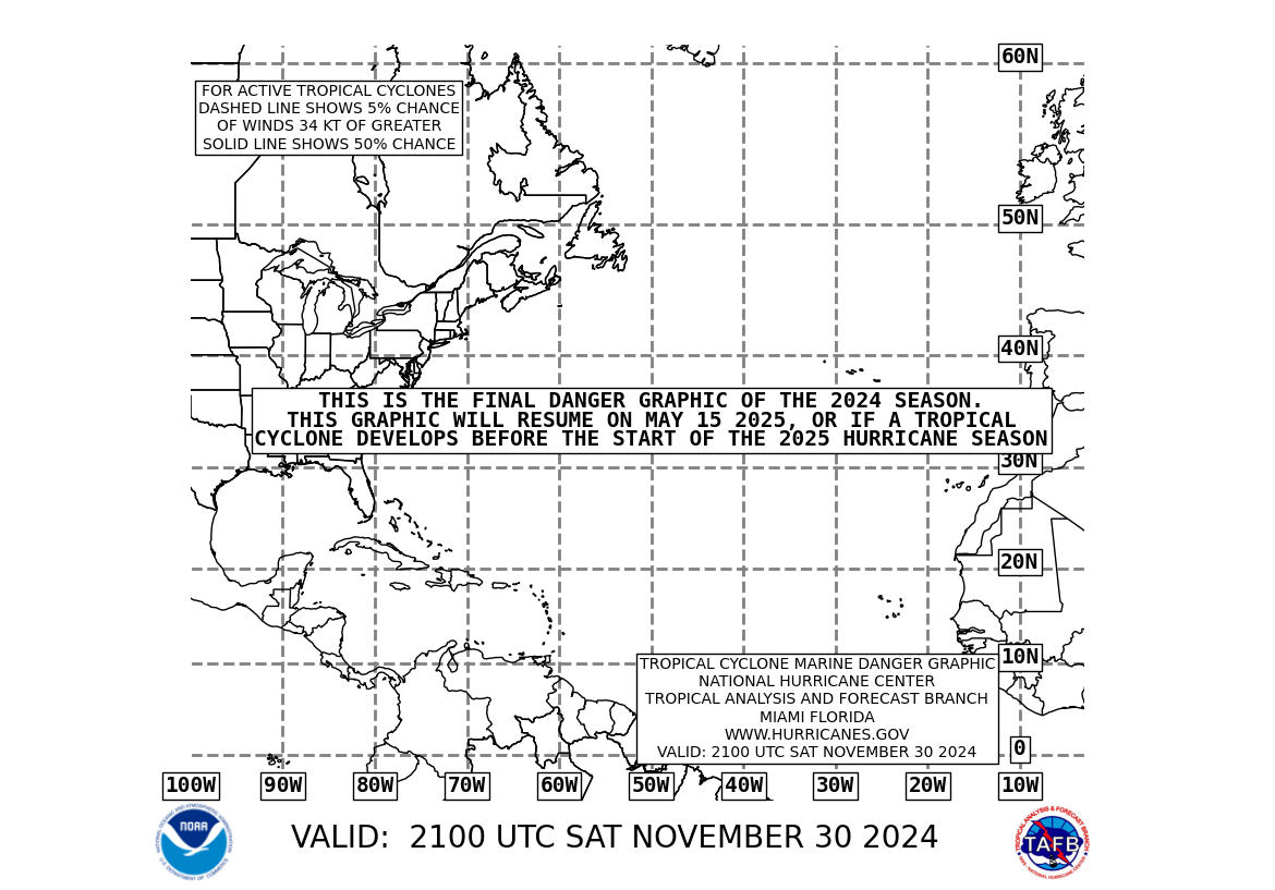
Tropical cyclone formation possible within the next 48 hours (Atlantic, 10N, 40-50w)
NOAA ^ | 2011-07-29 | (mariners' 1-2-3 rule chart)

Posted on 07/29/2011 3:23:59 AM PDT by Clive


TOPICS: Canada; Government; Technical
KEYWORDS:
Navigation: use the links below to view more comments.
first 1-2021-24 next last
The above hyperlinked chart will periodically update.

As of 0200 EDT 2011-07-29, National Hurricane Center rates this at a 30 percent chance of tropical cyclone formation within the next 48 hours.

It also states:
"THIS DISTURBANCE IS SHOWING SIGNS OF ORGANIZATION...AND ENVIRONMENTAL CONDITIONS ARE CONDUCIVE FOR GRADUAL DEVELOPMENT OVER THE NEXT FEW DAYS."

See Atlantic Graphical Tropical Weather Outlook

1 posted on 07/29/2011 3:24:01 AM PDT by Clive
[ Post Reply | Private Reply | View Replies]

To: blam; Cincinatus' Wife; sarcasm; happygrl; Byron_the_Aussie; robnoel; GeronL; ZOOKER; Bonaparte; ...

-


2 posted on 07/29/2011 3:25:22 AM PDT by Clive
[ Post Reply | Private Reply | To 1 | View Replies]

To: Clive

If it comes up the Carolina coast as a Tropical Depression and drops 10 to 15 inches of rain we won’t complain.


3 posted on 07/29/2011 3:33:35 AM PDT by Recon Dad ( five words most feared by a Louisiana politician: “Will the defendant please rise.”)
[ Post Reply | Private Reply | To 2 | View Replies]

To: Clive
30% is low risk of formation.

But this system bears watching as it has a long way to go...

4 posted on 07/29/2011 3:35:31 AM PDT by topher (Traditional values -- especially family values -- are the values that time has proven them to work)
[ Post Reply | Private Reply | To 1 | View Replies]

To: topher

Yup. Cape Verde season’s upon us. Hunker down this late summer!


5 posted on 07/29/2011 3:42:15 AM PDT by NorthStarStateConservative (In 2008, the USA became the UNN: The United States of Nauru)
[ Post Reply | Private Reply | To 4 | View Replies]

To: Clive

Could that graphic be any cruder? It’s 2011, not 1972.


6 posted on 07/29/2011 3:46:05 AM PDT by balch3
[ Post Reply | Private Reply | To 1 | View Replies]

To: balch3

BO didn’t pay the bill for the good graphics


7 posted on 07/29/2011 3:59:32 AM PDT by driftdiver (I could eat it raw, but why do that when I have a fire.)
[ Post Reply | Private Reply | To 6 | View Replies]

To: balch3
It is the standard Mariners' 1-2-3 Rule chart as produced by NOAA. You will get prettier graphics from NOAA when this system becomes a numbered Tropical Depression or a named Tropical Storm or Hurricane,
8 posted on 07/29/2011 4:07:05 AM PDT by Clive
[ Post Reply | Private Reply | To 6 | View Replies]

To: topher
Agreed, although National Hurricane Center calls 30 to 50 percent a medium chance. Note however that this is a 48 hour chance and the chance will be updated as time progresses.

Note that this system has about 2000 kilometers to go before it crosses the Lesser Antilles.

9 posted on 07/29/2011 4:14:41 AM PDT by Clive
[ Post Reply | Private Reply | To 4 | View Replies]

To: balch3

here’s a better one

http://www.weather.com/maps/maptype/satelliteworld/gulfofmexicosatellite_large_animated.html


10 posted on 07/29/2011 4:46:27 AM PDT by poobear (FACTS - the turd in the punch bowl of liberal thought!)
[ Post Reply | Private Reply | To 6 | View Replies]

To: Recon Dad

Long way to go to get to the east coast but given its relatively favorable for development enviornment, I don’t think anyone wants to have a visit by this storm in ten or so days. Looking at the sat images this AM, it looks like it will become a named storm within 48 hours. Some are calling for it to be a hurricane by tuesday next week.


11 posted on 07/29/2011 4:48:05 AM PDT by Mouton (Voting is an opiate of the electorate. Nothing changes no matter who wins..)
[ Post Reply | Private Reply | To 3 | View Replies]

To: poobear

Better graphic but not showing the potential cyclone formation in the mid Atlantic that is the subject matter of this thread.


12 posted on 07/29/2011 4:49:37 AM PDT by Clive
[ Post Reply | Private Reply | To 10 | View Replies]

To: Clive

oops!


13 posted on 07/29/2011 5:26:55 AM PDT by poobear (FACTS - the turd in the punch bowl of liberal thought!)
[ Post Reply | Private Reply | To 12 | View Replies]

To: Clive

ZCZC MIATWOAT ALL
TTAA00 KNHC DDHHMM

TROPICAL WEATHER OUTLOOK
NWS NATIONAL HURRICANE CENTER MIAMI FL
800 AM EDT FRI JUL 29 2011
FOR THE NORTH ATLANTIC...CARIBBEAN SEA AND THE GULF OF MEXICO...
THE NATIONAL HURRICANE CENTER IS ISSUING ADVISORIES ON TROPICAL
STORM DON LOCATED ABOUT 195 MILES EAST OF BROWNSVILLE TEXAS.

1. A LARGE TROPICAL WAVE ACCOMPANIED BY A WELL-DEFINED LOW PRESSURE
SYSTEM IS LOCATED ABOUT 1200 MILES EAST-SOUTHEAST OF THE LESSER
ANTILLES. THIS DISTURBANCE CONTINUES TO SHOW SIGNS OF ORGANIZATION...
AND ENVIRONMENTAL CONDITIONS ARE CONDUCIVE FOR
GRADUAL DEVELOPMENT OVER THE NEXT FEW DAYS. THIS SYSTEM HAS A
MEDIUM CHANCE...30 PERCENT...OF BECOMING A TROPICAL CYCLONE DURING
THE NEXT 48 HOURS AS IT MOVES WESTWARD OR WEST-NORTHWESTWARD AT 15
TO 20 MPH.

ELSEWHERE...TROPICAL CYCLONE FORMATION IS NOT EXPECTED DURING THE NEXT 48 HOURS.
$$
FORECASTER BEVEN

14 posted on 07/29/2011 5:40:40 AM PDT by deport
[ Post Reply | Private Reply | To 1 | View Replies]

To: Clive
Note that this system has about 2000 kilometers to go before it crosses the Lesser Antilles.

The above is more my point. It is very early for this storm, and I am not sure how warm the waters are where it currently is.

That does not mean that this thread is not fruitful. On the contrary, people can start following this potential storm system. And most weather broadcasters pay attention to this area of the ocean for potential storm systems.

If the storm would be entering the Gulf of Mexico with its sizzling waters, I would be concerned about rapid intensification.

With this potential storm, different countries will have some time to prepare...

That is a good thing...

15 posted on 07/29/2011 8:10:04 AM PDT by topher (Traditional values -- especially family values -- are the values that time has proven them to work)
[ Post Reply | Private Reply | To 9 | View Replies]

To: Clive
The National Hurricane Center (NOAA) has finally assigned a satellite for this system:

Atlantic Floater 2 Assigned to 91L

Atlantic Floater 1 is currently assigned to Tropical Storm Don...

They may not have assigned a satellite before now to same on repositioning of satellites -- which might expend fuel and affect the life of the satellite.

16 posted on 07/29/2011 8:18:14 AM PDT by topher (Traditional values -- especially family values -- are the values that time has proven them to work)
[ Post Reply | Private Reply | To 9 | View Replies]

To: Caipirabob; Joe Brower; NautiNurse; WorkerbeeCitizen; Guenevere; blam; PeteB570; SilvieWaldorfMD; ..

As of 2000 EDt the National Hurricane Center rates the chance pf tropical cyclone formation within the next 48 hours at 50 percent.


17 posted on 07/29/2011 5:59:32 PM PDT by Clive
[ Post Reply | Private Reply | To 1 | View Replies]

To: Clive

well alrighty then, our first atlantic storm


18 posted on 07/30/2011 12:58:41 PM PDT by WorkerbeeCitizen (I STAND WITH ISREAL!)
[ Post Reply | Private Reply | To 1 | View Replies]

To: Clive
As of 1400 EDT 2011-07-30 the National Hurricane Center rates the 48 hour probability of tropical cyclone formation at 80 percent.

See Atlantic Graphical Tropical Weather Outlook

19 posted on 07/30/2011 2:40:17 PM PDT by Clive
[ Post Reply | Private Reply | To 1 | View Replies]

To: exg; Alberta's Child; albertabound; AntiKev; backhoe; Byron_the_Aussie; Cannoneer No. 4; ...

Probability now raised to 90 percent as of 2000 EDT


20 posted on 07/30/2011 5:23:41 PM PDT by Clive
[ Post Reply | Private Reply | To 19 | View Replies]


Navigation: use the links below to view more comments.
first 1-2021-24 next last

Disclaimer: Opinions posted on Free Republic are those of the individual posters and do not necessarily represent the opinion of Free Republic or its management. All materials posted herein are protected by copyright law and the exemption for fair use of copyrighted works.

Free Republic
Browse · Search
News/Activism
Topics · Post Article

FreeRepublic, LLC, PO BOX 9771, FRESNO, CA 93794
FreeRepublic.com is powered by software copyright 2000-2008 John Robinson