This thread is a reference source of basic information on the Wana (Pakistan) anti-terrorist campaign. It inlcudes maps, locations of geographic place names, ethnic, religious and population information that can benefit the FReeper trying to get a handle on what's happening in this major battle of the War on Terror.
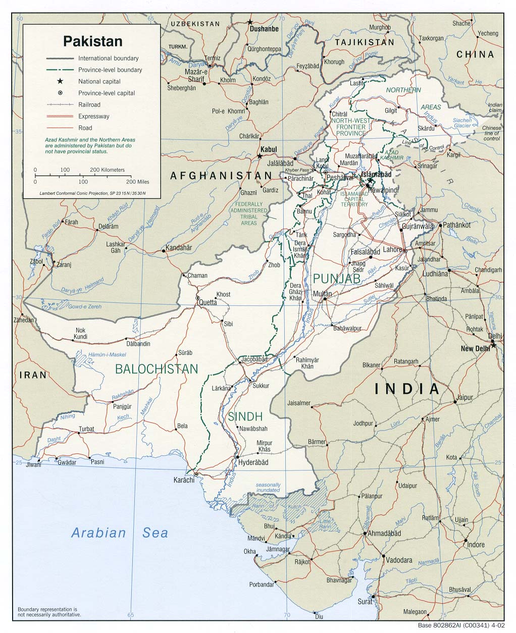
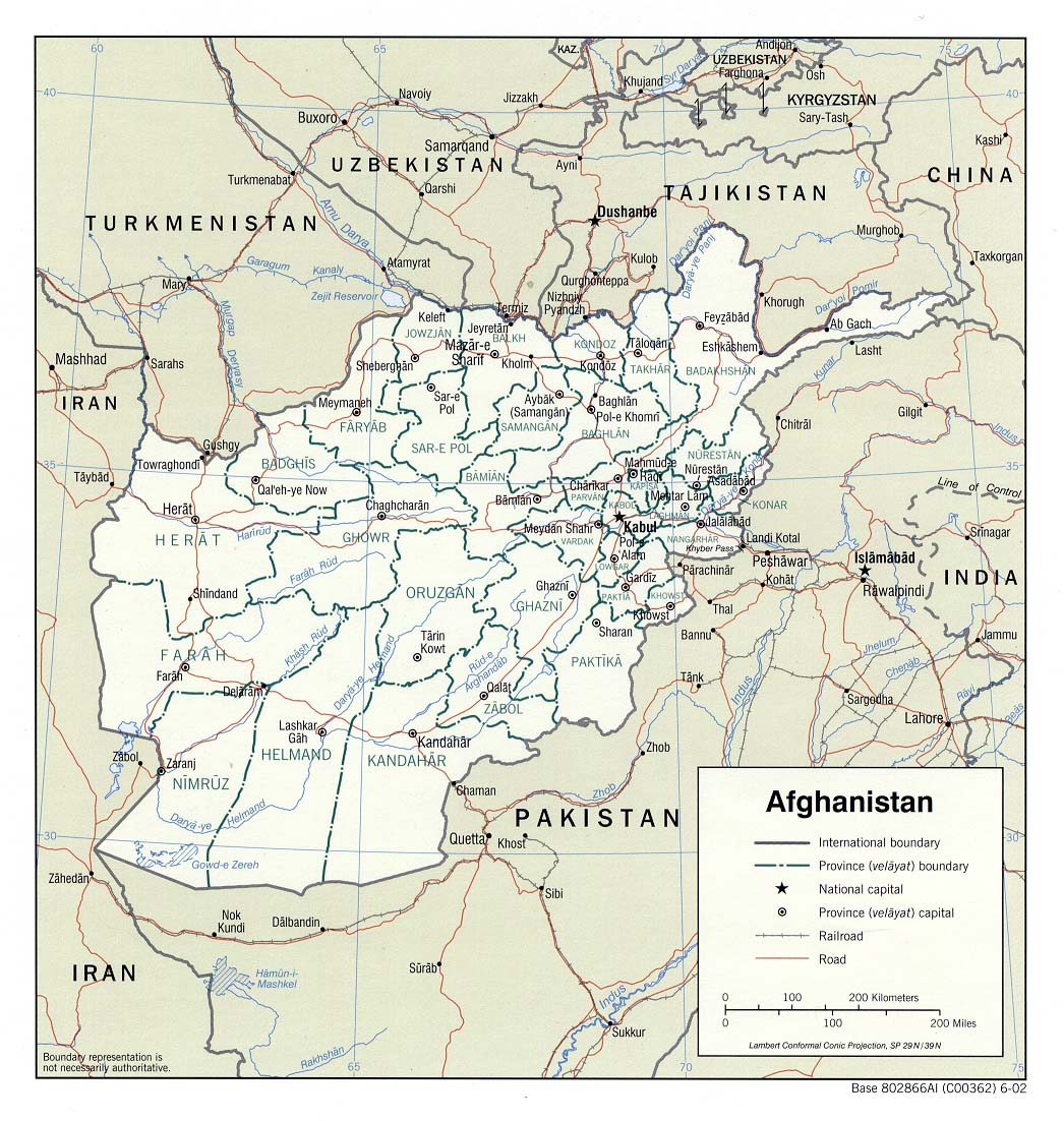
Finally...If you need a map of Afghanistan (including the provinces) the following link will open in a new window.
Map of Afghanistan
See post 20..
Way to go, Dog, great map! I going to put it up on this thread.
I've spent several hours analyzing your map and going back over the GEONames database and here are my conclusions.
MAP BENEFITS:
1. It provides BADLY NEEDED topographic information on the Wana area.
2. It provides a PRECISE "Minimum Bounding Rectangle" for the battle area, so that I can track down the other place names from the GEONames database.
3. The resolution is great and is about 8.5 km (5.3 miles) to the screen inch.
4. It covers other important areas, like the U.S. Shkin forward firebase on the Afghani border and nearly as far north as our Lwara forward firebase.
5. I've checked the map's coordinate system and it quite accurate when compared to the GEONames database.
MAP DRAWBACKS:
1. The collection of black dots SW of Wana are NOT part of the original Tactical Pilotage Chart. GlobalSecurity.com probably added them, after the fact, based on their own intelligence sources. Note: This map was produced by the Defense Mapping Agency, now the National Geospatial-Intelligence Agency, in 1992. The NGA is the same agency that provides the online GEONames database that I quote from so often.
2. None of the black dots are identified as to place name.
3. There are fewer place names identified on the map than on the MultiMap.com maps.
What follows is the results of my search of the GEONames database based upon the Minimum Bounding Rectangle from the Tactical Pilotage Chart.
PLEASE REFER TO THE FOLLOWING DATA WHEN TRYING TO LOCATE PLACE NAMES IN THE WANA BATTLE ZONE.
I'll start with a list of some of the place names we've been struggling to find locations for (that are in this battle area)
Azam Warsak
Shin Warzak
Kaloosha
Gangikhel
Kaga Panga
Palwasha
Zarian Noor (Zeri Noor)
Zarangadai
Shahalam hill
Mula Khan Saraye
Chaghmali area
Now for the complete GEONames results for that Minimum Bounding Rectangle taken from the TCP map that Dog linked us to.
Geonames Search Results for:
Minimum Bounding Rectangle (MBR) of: 32°02'N to 32°18'N by 69°20'E to 69°32'E
The MBR is 16 min. of arc high (29.6 km) by 12 min. of arc wide (18.8 km)
Place names below in bold red are matches to previously identified places.
---------------------------------------------
Total Number of Names in query results: 146
---------------------------------------------
Note: Diacritics have been removed from names.
---------------------------------------------
Native Name: Gangi Khel
Popultated Place
32° 17' 05" N 069° 31' 00" E
---------------------------------------------
Native Name: Shin Warsak Sat
Popultated Place
32° 16' 20" N 069° 31' 15" E
---------------------------------------------
Native Name: Wucha Kasa
Popultated Place
32° 16' 10" N 069° 30' 55" E
---------------------------------------------
Native Name: Kurezai
Popultated Place
32° 16' 15" N 069° 31' 50" E
---------------------------------------------
Native Name: Ghwaya Kho
Variant Name: Ghwa Kho
Popultated Place
32° 15' 20" N 069° 31' 40" E
---------------------------------------------
Native Name: Changai
Popultated Place
32° 15' 40" N 069° 31' 35" E
---------------------------------------------
Native Name: Kundi Kasa
Popultated Place
32° 15' 25" N 069° 31' 40" E
---------------------------------------------
Native Name: Zalli Khel
Generic Name: Khel
Tribal Area
32° 15' 15" N 069° 31' 40" E
---------------------------------------------
Native Name: Kuti Kili
Popultated Place
32° 15' 25" N 069° 31' 20" E
---------------------------------------------
Native Name: Shin Warsak
Locality
32° 15' 50" N 069° 30' 50" E
---------------------------------------------
Native Name: Zalai Algad
Generic Name: Algad
Stream
32° 17' 59" N 069° 21' 41" E
---------------------------------------------
Native Name: Narai Nar
Generic Name: Nar
Stream
32° 17' 32" N 069° 26' 41" E
---------------------------------------------
Native Name: Prekarie
Stream
32° 17' 29" N 069° 27' 33" E
---------------------------------------------
Native Name: Kalosha
Stream
32° 17' 15" N 069° 27' 23" E
---------------------------------------------
Native Name: Sraghara Algad
Generic Name: Algad
Stream
32° 17' 30" N 069° 26' 43" E
---------------------------------------------
Native Name: Kibari Wuchoba
Popultated Place
32° 17' 20" N 069° 22' 55" E
---------------------------------------------
Native Name: Zalai
Locality
32° 17' 30" N 069° 21' 50" E
---------------------------------------------
Native Name: Zalai Sar
Generic Name: Sar
Peak
32° 17' 40" N 069° 20' 45" E
---------------------------------------------
Native Name: Shina Lakai Algad
Generic Name: Algad
Stream
32° 17' 32" N 069° 22' 42" E
---------------------------------------------
Native Name: Bhomai
Locality
32° 16' 35" N 069° 20' 10" E
---------------------------------------------
Native Name: Darbalai Warsak
Mountain
32° 16' 50" N 069° 23' 00" E
---------------------------------------------
Native Name: Shrawana Nar
Generic Name: Nar
Stream
32° 17' 31" N 069° 26' 02" E
---------------------------------------------
Native Name: Parshai Narai
Generic Name: Narai
Pass
32° 16' 30" N 069° 26' 20" E
---------------------------------------------
Native Name: Dhana
Intermittent Stream
32° 16' 05" N 069° 30' 00" E
---------------------------------------------
Native Name: Mukhai Faqir
Popultated Place
32° 15' 30" N 069° 29' 05" E
---------------------------------------------
Native Name: Karez
Watercourse
32° 15' 40" N 069° 28' 30" E
---------------------------------------------
Native Name: Kibarai
Popultated Place
32° 15' 20" N 069° 28' 25" E
---------------------------------------------
Native Name: Zer Gwazha
Stream
32° 15' 32" N 069° 27' 39" E
---------------------------------------------
Native Name: Isora Narai
Generic Name: Narai
Pass
32° 15' 35" N 069° 26' 25" E
---------------------------------------------
Native Name: Kazha Punga
Mountain
32° 16' 10" N 069° 26' 30" E
---------------------------------------------
Native Name: Kazha Punga
Locality
32° 15' 40" N 069° 25' 00" E
---------------------------------------------
Native Name: Tarakai
Mountain
32° 15' 45" N 069° 22' 50" E
---------------------------------------------
Native Name: Wuchobi Lakai Algad
Generic Name: Algad
Stream
32° 16' 15" N 069° 21' 41" E
---------------------------------------------
Native Name: Wuchobi Lakai
Mountain
32° 15' 40" N 069° 20' 35" E
---------------------------------------------
Unverified Name: Soleyman Kheyl (AF)
Variant Name: Sulaiman Khel (AF)
Variant Name: Suleman Khel (?)
Variant Name: Soleyman Khel (PK)
Tribal Area
32° 02' 06" N 069° 21' 50" E AF00
---------------------------------------------
Native Name: Torzowa Karbona
Variant Name: Torzowa
Mountains
32° 06' 09" N 069° 21' 32" E
---------------------------------------------
Native Name: Kuchmina
Mountain
32° 02' 00" N 069° 32' 00" E
---------------------------------------------
Native Name: Kibarai Algad
Generic Name: Algad
Variant Name: Kibari Algad
Stream
32° 15' 01" N 069° 28' 40" E
---------------------------------------------
Native Name: Khan Kot
Popultated Place
32° 03' 33" N 069° 20' 04" E
---------------------------------------------
Native Name: Jindai
Popultated Place
32° 16' 00" N 069° 31' 00" E
---------------------------------------------
Native Name: Zarmelan
Locality
32° 03' 05" N 069° 21' 53" E
---------------------------------------------
Native Name: Ghilzai
Tribal Area
32° 03' 37" N 069° 21' 40" E
---------------------------------------------
Native Name: Mizari Tor
Hill
32° 03' 01" N 069° 22' 40" E
---------------------------------------------
Unverified Name: Dwa Sarak
Hill
32° 03' 10" N 069° 25' 36" E
---------------------------------------------
Unverified Name: Naghar Chau
Well
32° 02' 02" N 069° 27' 49" E
---------------------------------------------
Unverified Name: Shui Gwazh
Intermittent Stream
32° 02' 53" N 069° 27' 17" E
---------------------------------------------
Unverified Name: Toti China
Generic Name: China
Intermittent Stream
32° 03' 02" N 069° 29' 28" E
---------------------------------------------
Unverified Name: Shahbari
Stream
32° 03' 49" N 069° 28' 46" E
---------------------------------------------
Unverified Name: Torband Khel Kut
Intermittent Stream
32° 02' 40" N 069° 24' 20" E
---------------------------------------------
Unverified Name: Tor Warsak
Hill
32° 04' 50" N 069° 22' 49" E
---------------------------------------------
Unverified Name: Sher Ali Khan
Ruin
32° 04' 10" N 069° 20' 16" E
---------------------------------------------
Unverified Name: Wastane Nowa
Intermittent Stream
32° 04' 55" N 069° 26' 05" E
---------------------------------------------
Unverified Name: Spin Jama`at
Intermittent Stream
32° 05' 55" N 069° 27' 11" E
---------------------------------------------
Unverified Name: Srawani Chauan
Well
32° 04' 43" N 069° 23' 37" E
---------------------------------------------
Unverified Name: Azamiwarsakai
[Note: This is Azam Warsak]
Hill
32° 05' 35" N 069° 24' 50" E
---------------------------------------------
Unverified Name: Shingarai
Intermittent Stream
32° 06' 03" N 069° 24' 26" E
---------------------------------------------
Unverified Name: Parshahi Nowa
Intermittent Stream
32° 06' 06" N 069° 25' 56" E
---------------------------------------------
Unverified Name: Keragarai
Intermittent Stream
32° 06' 30" N 069° 26' 13" E
---------------------------------------------
Unverified Name: Parshahi Chau
Well
32° 07' 10" N 069° 27' 26" E
---------------------------------------------
Unverified Name: Katang Gwazha
Intermittent Stream
32° 08' 29" N 069° 24' 15" E
---------------------------------------------
Unverified Name: Torzowa Algad
Generic Name: Algad
Intermittent Stream
32° 07' 13" N 069° 23' 39" E
---------------------------------------------
Unverified Name: Ranga Nowa
Intermittent Stream
32° 08' 35" N 069° 24' 11" E
---------------------------------------------
Unverified Name: Lakashavi Narai
Generic Name: Narai
Pass
32° 05' 05" N 069° 22' 39" E
---------------------------------------------
Unverified Name: Machal Algad
Generic Name: Algad
Intermittent Stream
32° 06' 53" N 069° 27' 28" E
---------------------------------------------
Unverified Name: Chinikhwa Algad
Generic Name: Algad
Intermittent Stream
32° 09' 22" N 069° 29' 15" E
---------------------------------------------
Unverified Name: Wucha Nowa
Intermittent Stream
32° 07' 21" N 069° 26' 39" E
---------------------------------------------
Unverified Name: Machal Narai
Generic Name: Narai
Pass
32° 08' 08" N 069° 27' 55" E
---------------------------------------------
Unverified Name: Machal Bika
Mountain
32° 08' 12" N 069° 28' 46" E
---------------------------------------------
Unverified Name: Karbona Range
Mountains
32° 11' 22" N 069° 21' 55" E
---------------------------------------------
Unverified Name: Gurlima
Intermittent Stream
32° 07' 09" N 069° 20' 05" E
---------------------------------------------
Unverified Name: Ghwareroba
Intermittent Stream
32° 06' 53" N 069° 20' 25" E
---------------------------------------------
Unverified Name: Srawam Bagh
Intermittent Stream
32° 09' 07" N 069° 25' 23" E
---------------------------------------------
Unverified Name: Shina Bika Ghar
Generic Name: Ghar
Mountain
32° 10' 26" N 069° 29' 35" E
---------------------------------------------
Unverified Name: Chinikhwa
Locality
32° 10' 48" N 069° 28' 46" E
---------------------------------------------
Unverified Name: Faqir Chau
Well
32° 10' 28" N 069° 25' 43" E
---------------------------------------------
Unverified Name: Bogh Chauan
Well
32° 10' 39" N 069° 23' 51" E
---------------------------------------------
Unverified Name: Imar Tizha
Well
32° 10' 37" N 069° 21' 08" E
---------------------------------------------
Unverified Name: Nandir Chau
Well
32° 10' 59" N 069° 22' 59" E
---------------------------------------------
Unverified Name: Ghundak Nowa
Intermittent Stream
32° 10' 48" N 069° 22' 47" E
---------------------------------------------
Unverified Name: Watiye Pal
Intermittent Stream
32° 11' 21" N 069° 23' 42" E
---------------------------------------------
Unverified Name: Wucha Nowa
Intermittent Stream
32° 11' 32" N 069° 23' 24" E
---------------------------------------------
Unverified Name: Bakuli Nowa
Intermittent Stream
32° 12' 07" N 069° 22' 47" E
---------------------------------------------
Unverified Name: Karbona
Mountain
32° 12' 55" N 069° 20' 50" E
---------------------------------------------
Unverified Name: Sarki Chau
Well
32° 13' 09" N 069° 21' 31" E
---------------------------------------------
Unverified Name: Wuchobi Lakai
Mountain
32° 13' 56" N 069° 20' 41" E
---------------------------------------------
Unverified Name: Inzar Pal
Intermittent Stream
32° 13' 32" N 069° 24' 23" E
---------------------------------------------
Unverified Name: Katana Nowa
Intermittent Stream
32° 12' 18" N 069° 24' 57" E
---------------------------------------------
Unverified Ibagh Pal
Intermittent Stream
32° 13' 54" N 069° 24' 30" E
---------------------------------------------
Unverified Name: Tor Zawar
Intermittent Stream
32° 11' 09" N 069° 29' 46" E
---------------------------------------------
Unverified Name: Srawam Bagh
Locality
32° 09' 08" N 069° 28' 52" E
---------------------------------------------
Unverified Name: Sirk Khel
Tribal Area
32° 12' 00" N 069° 24' 48" E
---------------------------------------------
Unverified Name: Isakai Chau
Well
32° 14' 43" N 069° 23' 10" E
---------------------------------------------
Unverified Name: Zera Gwazha
Mountain
32° 12' 39" N 069° 29' 41" E
---------------------------------------------
Unverified Name: Kalati
Locality
32° 14' 34" N 069° 29' 33" E
---------------------------------------------
Unverified Name: Zir Gwazha
Tribal Area
32° 13' 16" N 069° 27' 45" E
---------------------------------------------
Unverified Name: Marghai Chau
Well
32° 13' 25" N 069° 26' 15" E
---------------------------------------------
Unverified Name: Gurgura
Well
32° 13' 52" N 069° 26' 33" E
---------------------------------------------
Unverified Name: Zera Gwazha Chau
Well
32° 12' 59" N 069° 26' 08" E
---------------------------------------------
Unverified Name: Mulla Sahib Chau
Well
32° 14' 06" N 069° 25' 00" E
---------------------------------------------
Unverified Name: Nambotai Chau
Well
32° 14' 08" N 069° 25' 38" E
---------------------------------------------
Unverified Name: Wuchobi Narai
Generic Name: Narai
Pass
32° 13' 59" N 069° 23' 13" E
---------------------------------------------
Unverified Name: Nazar Chau
Well
32° 13' 55" N 069° 23' 13" E
---------------------------------------------
Unverified Name: Bagar Chau
Well
32° 14' 07" N 069° 21' 57" E
---------------------------------------------
Unverified Name: Parshahi Chau
Well
32° 14' 07" N 069° 22' 44" E
---------------------------------------------
Unverified Name: Spinkai Chau
Well
32° 14' 53" N 069° 22' 17" E
---------------------------------------------
Unverified Name: Zerakai
Mountain
32° 15' 03" N 069° 26' 38" E
---------------------------------------------
Unverified Name: Inus
Popultated Place
32° 16' 02" N 069° 28' 39" E
---------------------------------------------
Unverified Name: Mukhai Faqir
Popultated Place
32° 15' 37" N 069° 29' 19" E
---------------------------------------------
Unverified Name: Kazha Punga
Ridge(s)
32° 16' 33" N 069° 26' 28" E
---------------------------------------------
Unverified Name: Kibari
Popultated Place
32° 17' 34" N 069° 22' 47" E
---------------------------------------------
Unverified Name: Wuchoba
Popultated Place
32° 17' 33" N 069° 23' 31" E
---------------------------------------------
Native Name: Kamkai Sraghara Algad
Generic Name: Algad
Variant Name: Kamkai Sraghura Algad
Intermittent Stream
32° 17' 31" N 069° 22' 42" E
---------------------------------------------
Unverified Name: Darbalai Warsak
Escarpment
32° 17' 02" N 069° 23' 07" E
---------------------------------------------
Native Name: Guldane Ghundai
Generic Name: Ghundai
Hill
32° 16' 59" N 069° 24' 01" E
---------------------------------------------
Unverified Name: Wazir
Area
32° 16' 54" N 069° 22' 43" E
---------------------------------------------
Unverified Name: Zalai Sar
Triangulation Station
32° 17' 48" N 069° 20' 55" E
---------------------------------------------
Native Name: Shin Warsak
Generic Name: Warsak
Mountain
32° 14' 46" N 069° 30' 37" E
---------------------------------------------
Native Name: Ghwaikhwa
Locality
32° 14' 45" N 069° 32' 00" E
---------------------------------------------
Native Name: Kalati Pal
Intermittent Stream
32° 14' 30" N 069° 30' 00" E
---------------------------------------------
Native Name: Zirtatai
Mountain
32° 14' 00" N 069° 31' 00" E
---------------------------------------------
Native Name: Dargai Kut
Intermittent Stream
32° 14' 00" N 069° 31' 40" E
---------------------------------------------
Native Name: Zir Gwazha Narai
Generic Name: Narai
Pass
32° 13' 05" N 069° 31' 20" E
---------------------------------------------
Native Name: Chinikhwa Pal
Intermittent Stream
32° 12' 00" N 069° 31' 05" E
---------------------------------------------
Native Name: Tora Girda
Mountain
32° 10' 25" N 069° 31' 10" E
---------------------------------------------
Native Name: Chinikhwa Chauwan
Variant Name: Chaman
Springs(s)
32° 10' 05" N 069° 31' 30" E
---------------------------------------------
Native Name: Garai Pal
Intermittent Stream
32° 09' 55" N 069° 31' 15" E
---------------------------------------------
Native Name: Malga
Mountain
32° 08' 50" N 069° 31' 50" E
---------------------------------------------
Native Name: Girdai Dag Chau
Spring(s)
32° 07' 50" N 069° 31' 30" E
---------------------------------------------
Native Name: Larsun Gharai
Intermittent Stream
32° 04' 10" N 069° 30' 10" E
---------------------------------------------
Native Name: Tarakai Range
Mountains
32° 14' 30" N 069° 22' 50" E
---------------------------------------------
Native Name: Nambotai
Mountain
32° 13' 10" N 069° 25' 10" E
---------------------------------------------
Native Name: Kazha Punge
Cultivated Area
32° 14' 55" N 069° 25' 20" E
---------------------------------------------
Native Name: Nambotai Algad
Generic Name: Algad
Stream
32° 14' 40" N 069° 25' 40" E
---------------------------------------------
Native Name: Zera Gwazha Pal
Stream
32° 14' 20" N 069° 28' 50" E
---------------------------------------------
Native Name: Narat Nowa
Stream
32° 12' 10" N 069° 23' 40" E
---------------------------------------------
Native Name: Perawanda Pal
Stream
32° 11' 10" N 069° 25' 00" E
---------------------------------------------
Native Name: Chinikhwa Algad
Generic Name: Algad
Stream
32° 10' 50" N 069° 29' 00" E
---------------------------------------------
Native Name: Katang Gwazha
Stream
32° 08' 00" N 069° 24' 10" E
---------------------------------------------
From the above table, I think you can begin to appreciate the magnitude of the problem of tracking down place names. In this tiny little 12 mile by 18 mile chunk of desolate rock and dirt, there are 146 place names to search through. And when you count the spelling variations that are common in the press accounts, that total can go up by a factor of five or more.
--Boot Hill
Interesting, how TIME got invited to Camp Blessing letting people know we're north of Jalalabad.
swarthy....that needs to be in a stand alone thread.......so they killed the hostages.
Post if you want, - its some not all of the hostages/prisoners.
It may be turning into an ethnic Punjabi (paki army) vs Pushtuns - tribesmen.
A Pakistani on TV yesterday in London BBC mentioned Osama has fled to the far north - Kashmir - before this campaign started. Said his sources were the local tribal chiefs.
The diplomat worked in the PakiGovt a decade ago, so grain of salt. but sounds logical to me.


