Posted on 08/17/2013 8:45:52 AM PDT by re_tail20
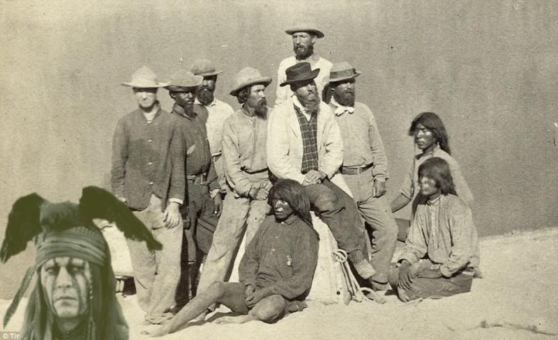
These remarkable 19th century sepia-tinted pictures show the American West as you have never seen it before - as it was charted for the first time.
The photos, by Timothy O'Sullivan, are the first ever taken of the rocky and barren landscape.
At the time federal government officials were travelling across Arizona, Nevada, Utah and the rest of the west as they sought to uncover the land's untapped natural resources.
(Excerpt) Read more at dailymail.co.uk ...
I recall my uncle telling me that some of our ancestors served as guides for these wealthy tourists from the East.
The tourist would meet with the locals and ask if they knew of interesting places . They would offer to pay for the tour. They would also ask to be guided to the next settlement further west. Usually by someone who had relatives or acquaintances in that village.
I recognize quite a few of the locations. Scary huh? Love the picture of Pyramid Lake. Which, for those that don’t know, is where the Truckee river ends in it’s flow from Lake Tahoe, which used to be called Lake Bigler. (I just learned that so consider me “new” to the area I guess.)
Beautiful pictures!
Bookmark

Haunting and beautiful photographs that capture the wild expanse of the desert Southwest and the lives of a dying people.
Oh, that’s funny....
You guys are such cards....
This disappoint all the pinkos who teach our kids that the West was wall to wall gun violence and massacres perpetrated by evil American settlers.

The resolution in those photos is amazing.
I’m not sure a modern camera could best these.
Thank-you!.....my first big trip out West last year to Colorado, Texas, Wyoming, Utah, Arizona, Texas etc.....and once you get past the cities much of the scenery is still the same as these photos.....very bleak but beautiful.
Thanks!!!
The photos are amazing. Thanks for posting.
The country is pretty much the same as it was back then. It can be very hard on the unprepared.
Thanks for posting this. I was familiar with O’Sullivan’s pictures from the Civil War, but had no idea he had traveled West. Great pictures. It would be nice to have side by side, “then & now” photos of the identified sites like those done of Gettysburg and Antietam by William A. Frassanito.
We have a book of photographs of Custer’s 1874 expedition into the Black Hills. What is amazing about it is that the author/historian/photographer who put the book together took a large format camera with the same framing dimensions as Custer’s photographer used, and painstakingly found and setup in the exact same spots, then used the old pictures to meticulously frame the modern photograph identically to the old.
The book has the old and the modern photos on facing pages, so they can be viewed together. Many of the old stumps from fires them are still extant; and some of the trees that in a unique location are still there, only 130 years older/larger; or now a recognizable snag.
The most amazing thing though is that in almost every photo, the modern scene is much more heavily forested, despite settlement. In the 1870s, the entire region was relatively sparsely forested. A couple of shots show Custer’s column in the middle distance, and the modern show the modern road almost exactly in his wagons’ tracks.
Industrial revolution: The mining town of Gold Hill, just south of Virginia City, Nevada, in 1867 was town whose prosperity was preserved by mining a rare silver ore called Comstock Lode.
Disclaimer: Opinions posted on Free Republic are those of the individual posters and do not necessarily represent the opinion of Free Republic or its management. All materials posted herein are protected by copyright law and the exemption for fair use of copyrighted works.