gif url -- https://www.almanac.com/sites/default/files/ofa-us-foliage-map-dates.gif
gif url -- https://www.almanac.com/sites/default/files/ofa-us-foliage-map-dates.gif
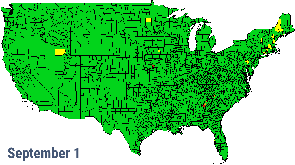
According to this, we don’t hit ‘peak’ until October 29th! And then it will snow on October 30th, LOL!
That HAS happened! Halloween for my kids sometimes meant wearing snowmobile suits.
November?
Nice map. Although the times seem off (too late for peak color) in my area for the last few years. But, we have tended to have atypically warm and dry / drought) Septembers & well into October the last few years, then we “snap” cold sometime around mid-late October.
There are a few anomalies, too. Jackson County IL is shown “turning” very early. That “could” be localized drought, but, the drought maps don’t show that.
Driving back here several nights ago, when we got a little (too little!) rain, a LOT of those drought afflicted brown leaves were down. The highway was completely covered with wet leaves in forested areas. It was almost like driving on ice - maybe worse, in some ways. :-(