Free Republic
Browse · Search
News/Activism
Topics · Post Article

Skip to comments.

Major Hurricane Michael Live Thread II
NHC/NOAA ^ | 9 October 2018 | NHC/NOAA

Posted on 10/09/2018 4:49:06 PM PDT by NautiNurse

Major Hurricane Michael is churning toward the northeastern Gulf of Mexico coast. Florida Governor Rick Scott declared a state of emergency Monday for 35 counties with mandatory coastal evacuations in the FL Panhandle. 1,250 National Guard troops are aiding the process and more than 4,000 more placed on standby.

FEMA is already on the ground in Florida; other federal agencies are also preparing to assist people in the storm's path.

Alabama Gov. Kay Ivey on Monday declared a state of emergency for the entire state. Georgia Governor Nathan Deal issued a state of emergency for 92 counties ahead of Hurricane Michael landfall.

Meanwhile, Tallahassee city government (Andrew Gillum, Mayor & D'Rat FL Gubernatorial candidate) offices are "closed until further notice." Tallahassee International Airport ‏is suspending commercial flight activity as 12:01 a.m. ET on Wednesday but expects to resume activity on Thursday.

The U.S. military moved its aircraft from the Panhandle on Monday. Roughly 50 F-22 stealth fighter jets — valued around $150 million each — have been relocated from the Tyndall Air Force Base, while the U.S. Navy said it is moving all its training aircraft from Pensacola.

Energy Production The Bureau of Safety and Environmental Enforcement (BSEE) on Tuesday estimated that around 726 MMcf/d (28.4%) of natural gas production and 670,831 b/d (39.5%) of oil production in the GOM had been shut in ahead of the storm.

As of midday Tuesday, 75 platforms and three rigs had been evacuated, while eight dynamically positioned rigs had been moved out of the storm’s path as a precaution, according to BSEE.

Gulf of Mexico Satellite Channels

Public Advisories

NHC Discussions
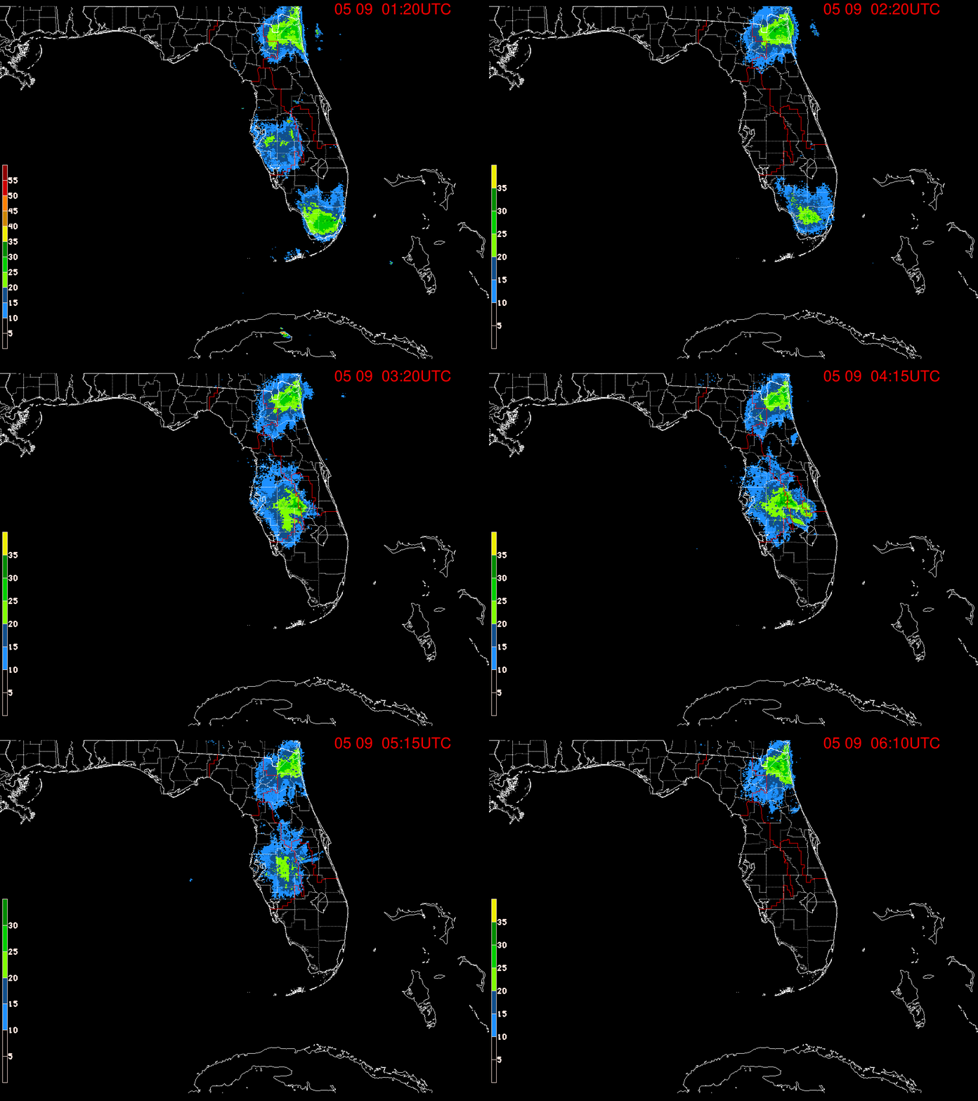

NHC Local Weather Statements/Radar Key West FL
NHC Local Weather Statements/Radar New Orleans, LA
NHC Local Weather Statements/Radar Mobile AL/Pensacola FL
NHC Local Weather Statements/Radar Panama City, FL
NHC Local Weather Statements/Radar Tallahassee, FL
NHC Local Weather Statements/Radar Tampa Bay, FL

Hurricane Michael Thread I


TOPICS: Breaking News; US: Alabama; US: Florida; US: Georgia; US: North Carolina; US: South Carolina
KEYWORDS: gorebullwarming; hurricane; hurricanemichael; localnews; michael; nautinurse; tropical
Navigation: use the links below to view more comments.
first previous 1-20 ... 321-340341-360361-380 ... 1,201-1,207 next last
To: commish

One thing learned from the last hurricane which devastated the Carolinas is that Category # doesn’t tell the whole story of a storm’s destructive power.

Having been alive during Camille, what I remember is quiet fear when discussing it afterwards. To this day. Hopeful this one doesn’t take the same toll.


341 posted on 10/10/2018 8:36:54 AM PDT by The Westerner (Protect the most vulnerable: get the government out of medicine and education!)
[ Post Reply | Private Reply | To 333 | View Replies]

To: NautiNurse

I’m beginning to think Cat- is possible.


342 posted on 10/10/2018 8:37:58 AM PDT by rdl6989
[ Post Reply | Private Reply | To 331 | View Replies]

To: rdl6989
SevereStudios ‏ @severestudios 3m3 minutes ago Air Force Hurricane Hunter data indicates an increase in #Michael winds to around 150 mph.
343 posted on 10/10/2018 8:39:09 AM PDT by halo66
[ Post Reply | Private Reply | To 342 | View Replies]

To: All
...MICHAEL STILL STRENGTHENING AS THE EYE NEARS THE COAST
OF THE FLORIDA PANHANDLE...


Data from an Air Force Reserve Hurricane Hunter aircraft indicate
that the maximum sustained winds have increased to near 150 mph
(240 km/h) with higher gusts. The aircraft also reported that the
minimum pressure has fallen to 923 mb (27.26 inches).

Water levels continue to rise quickly along the coast of the Florida
Panhandle. A National Ocean Service water level station at
Apalachicola recently reported over 5 feet of inundation above
ground level.

SUMMARY OF 1030 AM CDT...1530 UTC...INFORMATION -----------------------------------------------
LOCATION...29.5N 85.9W
ABOUT 50 MI...80 KM SSW OF PANAMA CITY FLORIDA
ABOUT 55 MI...90 KM WSW OF APALACHICOLA FLORIDA
MAXIMUM SUSTAINED WINDS...150 MPH...
PRESENT MOVEMENT...NNE OR 15 DEGREES AT 14 MPH...
MINIMUM CENTRAL PRESSURE...923 MB...27.26 INCHES

344 posted on 10/10/2018 8:39:32 AM PDT by NautiNurse (Two-door Ford suffered unrepairable damage after a head-on collision with facts & truth.)
[ Post Reply | Private Reply | To 335 | View Replies]

To: halo66

...and yep... I’m seeing the 150 report as well. Strongest hit to the US in years.


345 posted on 10/10/2018 8:40:11 AM PDT by alancarp (George Orwell was an optimist.)
[ Post Reply | Private Reply | To 343 | View Replies]

To: dirtboy

Pressure 923 mb is ONE millibar above Hurricane Andrew 1992.


346 posted on 10/10/2018 8:41:43 AM PDT by NautiNurse (Two-door Ford suffered unrepairable damage after a head-on collision with facts & truth.)
[ Post Reply | Private Reply | To 340 | View Replies]

To: NautiNurse

Her’s another person writing about the wind yesterday...

“It’s as windy today in Jacksonville as it was in Orlando when Matthew came through and the hurricane is still a day away from even coming remotely close to us.”


347 posted on 10/10/2018 8:42:40 AM PDT by caww
[ Post Reply | Private Reply | To 336 | View Replies]

To: NautiNurse

That will be lowered. Recon found sub-920 reading a few minutes ago.


348 posted on 10/10/2018 8:42:42 AM PDT by dirtboy
[ Post Reply | Private Reply | To 346 | View Replies]

To: dirtboy

omg. Just omg.


349 posted on 10/10/2018 8:43:13 AM PDT by NautiNurse (Two-door Ford suffered unrepairable damage after a head-on collision with facts & truth.)
[ Post Reply | Private Reply | To 348 | View Replies]

To: alancarp
Breaking News ‏Verified account @BreakingNews 9s9 seconds ago In a special statement, NWS says Hurricane Michael continues to strengthen as it nears landfall on the Florida Panhandle, and winds have increased to 150 mph -- a very strong Cat. 4.
350 posted on 10/10/2018 8:43:19 AM PDT by sheikdetailfeather
[ Post Reply | Private Reply | To 345 | View Replies]

To: dirtboy

is lowering pressure worse? I just look at wind speed. How do the correlate?


351 posted on 10/10/2018 8:44:00 AM PDT by DCBryan1 (Quit calling them liberals, progs, socialists, or democrats. Call them what they are: COMMUNISTS!!!!)
[ Post Reply | Private Reply | To 348 | View Replies]

To: caww

352 posted on 10/10/2018 8:44:42 AM PDT by dirtboy
[ Post Reply | Private Reply | To 347 | View Replies]

To: DCBryan1

Generally speaking, they go hand-in-hand: pressure lowering increases the rush of air trying to fill the vacuum that’s being created, hence higher winds.


353 posted on 10/10/2018 8:45:29 AM PDT by alancarp (George Orwell was an optimist.)
[ Post Reply | Private Reply | To 351 | View Replies]

To: NautiNurse

The weather guy in Apalachicola is in a bad spot for flooding... not a lot of high rises or high ground there I think


354 posted on 10/10/2018 8:45:48 AM PDT by LilFarmer
[ Post Reply | Private Reply | To 344 | View Replies]

To: DCBryan1

Yes, lower pressure means higher wind speeds.


355 posted on 10/10/2018 8:45:53 AM PDT by Rumierules
[ Post Reply | Private Reply | To 351 | View Replies]

To: DCBryan1

Wind speed increase tends to lag a bit behind pressure drop. Pressure of 920 could result in borderline cat-5 winds. What is worse is the storm is strengthening upon landfall - far worse than the typical weakening of storms as they approach the Gulf coast.


356 posted on 10/10/2018 8:46:32 AM PDT by dirtboy
[ Post Reply | Private Reply | To 351 | View Replies]

To: caww

Your anecdotes don’t trump the Jax Naval Station data I provided to you. Let us know when you find a reputable source for 70-80 mph winds in Jacksonville yesterday.


357 posted on 10/10/2018 8:46:37 AM PDT by NautiNurse (Two-door Ford suffered unrepairable damage after a head-on collision with facts & truth.)
[ Post Reply | Private Reply | To 347 | View Replies]

To: RushIsMyTeddyBear

Surprised not to see any Kamikaze surfers out there.


358 posted on 10/10/2018 8:48:03 AM PDT by Rebelbase (..)
[ Post Reply | Private Reply | To 310 | View Replies]

To: NautiNurse
TRU DAT!

Wow, the latest sat signature is an almost absolute perfect circle eye.

I really feel sorry for the people of Panama City, Apalachicola, Mexico Beach and Tyndall AFB.

Also, the path od devastation will not stop there, Tallahassee, Dothan and even Albany, GA could see 100+ MPH winds before the day is out. This monster is going to create destruction for miles inland.

359 posted on 10/10/2018 8:49:59 AM PDT by commish (Freedom tastes Sweetest to those who have fought to preserve it!)
[ Post Reply | Private Reply | To 336 | View Replies]

To: dirtboy

Lordy.

Here is an amateur radio link:

https://www.broadcastify.com/listen/feed/1215/web


360 posted on 10/10/2018 8:51:49 AM PDT by RushIsMyTeddyBear
[ Post Reply | Private Reply | To 352 | View Replies]


Navigation: use the links below to view more comments.
first previous 1-20 ... 321-340341-360361-380 ... 1,201-1,207 next last

Disclaimer: Opinions posted on Free Republic are those of the individual posters and do not necessarily represent the opinion of Free Republic or its management. All materials posted herein are protected by copyright law and the exemption for fair use of copyrighted works.

Free Republic
Browse · Search
News/Activism
Topics · Post Article

FreeRepublic, LLC, PO BOX 9771, FRESNO, CA 93794
FreeRepublic.com is powered by software copyright 2000-2008 John Robinson