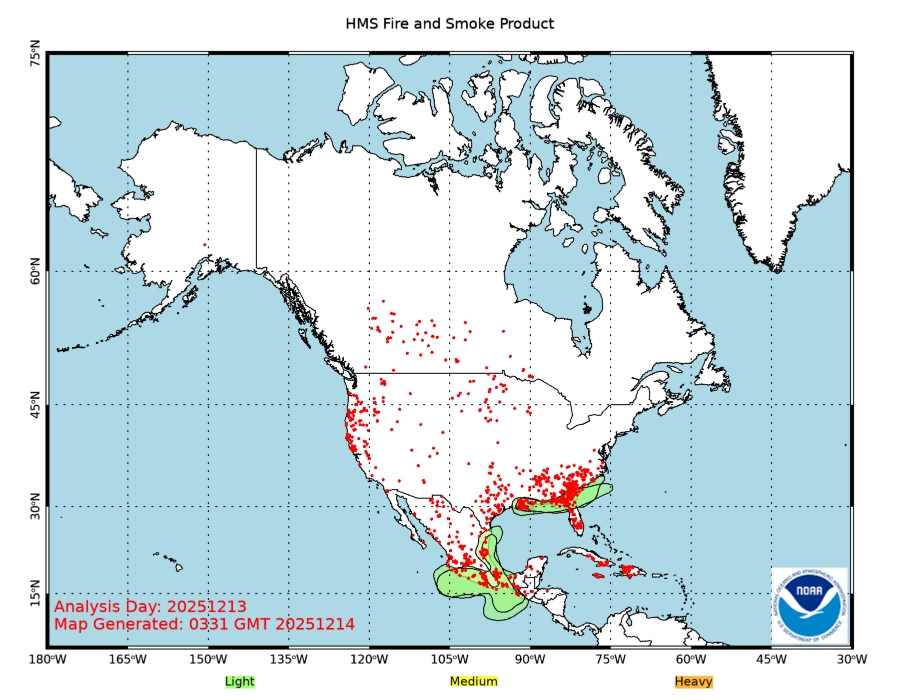
NOAA Smoke Map, 9/4/17

I’m off to a class for a couple hours...please add any additional info.
Oregon ping
bmk
We nearly lost my mom’s vacation home in Mariposa. The fire in July raged right up the clearing around the house, and on past.
Colorado is smoke filled form these fires. Can’t see the foothill from 3 miles out.
My cousin is retired and took a little open ended trip to visit. They kept calling him to work on the fire and after 2 days of constant phone calls he went back to help.
His wife also works the fires taking drinks, food and anything else they need.
All the attention is on Texas and Florida.
Perhaps reinvent the CCC Camp. My dad and his brother joined and spent a memorable year in Montana.
Real smoky here in Mason County, south Puget Sound - a little ash fall but the hazy sunlight is giving a real freaky look to everything, like the last night of the world. We need some rain.
Active fire maps:
https://fsapps.nwcg.gov/afm/index.php
http://www.ospo.noaa.gov/data/land/fire/currenthms.jpg
https://www.geomac.gov/viewer/viewer.shtml
https://www.arcgis.com/home/webmap/viewer.html?webmap=df8bcc10430f48878b01c96e907a1fc3#!
https://airnow.gov/index.cfm?action=topics.smoke_wildfires
Thanks. I was thinking such a thread was needed.
We are visiting our daughter in Denver. I’ve never seen such smoke around Denver as I did when we landed on Saturday. You couldn’t even see the foothills to the west. On Sunday, we went to Rocky Mountain National Park and the air was pretty good on our hike to Cub Lake at 8,700 feet. Yesterday, we went to Colorado Springs for the balloon festival and the air was hazy, but not real bad there. We Later hiked at Rampart Reservoir (9,200 feet) and again the high mountain air was clear. But, when we got back to Denver about 5:00 PM, it was real BAD again. I can see the foothills and mountains west of Westminster, CO right now through mild haze.
We are headed up to Coeur d’Alene tomorrow and it currently is among the worst areas with winds flowing west from Montana.
Our son has a ticket to climb Half Dome with friends on Sunday and it sounds bad there with three fires burning just west of Yosemite.
This is one of the worst fire seasons ever. It sounds like the authorities are going to let a lot of the blazes burn themselves out with the coming cooler temps and rains, so clear air may be a couple months away yet.
The air quality meter only goes to 300. 300 being the worst air to breathe. Eugene OR is at 411 today. We came over to the coast to escape, but it’s smokey here too.
The combo of years of neglect managing forests (thanks to Greenies), hot weather and cutbacks in fire resources has made the situation very dangerous.
We had record rainfall and snowpack this year so it’s not a drought situation although some rain in the forecast would be a blessing.
The US Forest Service was established by Congress after the catastrophic fires of 1910 destroyed thousands of acres, homes, and even entire towns in the Pacific NW. Their charter was to manage the forest resource to prevent this from ever happening again. It’s happening again. This is the result when eco-Nazis take over the agency and they manage for preservation instead of utilization.
That is a terrible shame. We were just down there a few weeks ago and it was absolutely beautiful. We went through Hood River and White Salmon and spent the night in Goldendale. It was so pretty that we went back the same way to spend more time viewing the sights instead of heading North through Yakima and across Steven's Pass.
There were a lot of idiots from Portland which is only 50 or 60 miles away. It is sad that the place is now burning to the ground.
Idaho...smoke so bad have to keep my dog inside.
Great resources on this thread, and thanks for posting. This stuff is forecast to be around until Friday, when the wind should shift and blow it into somebody else's face. Sorry about that.
NOAA Smoke Map, 9/4/17
https://inciweb.nwcg.gov/ is a good site to follow. If you go their home page, you can select the state of interest at the upper right corner. Or, you can just monitor incidents across the country with narrowing your search to a particular state.
They post new reports at the top of the list if you click on “Updated” at the top of the time of report column. The header to the report should state:
“Viewing 1-10 of 199 incidents sorted by MODIFIED in DESCENDING order.” if you are trying to get reports for the entire U.S.
At the time of this post, there had been 10 incident reports across the country within the last 11 minutes. So they keep the reports up to date for the active incidents where there is activity of concern.
For instance, the latest Arizona report was over 4 days ago. So there is nothing pressing happening.
Been very hazy here in New Mexico for the past week or so.
Getting a lot of smoke in W. Nebr.,but today is pretty clear. I’m sure the fires aren’t out yet.