Active fire maps:
https://fsapps.nwcg.gov/afm/index.php
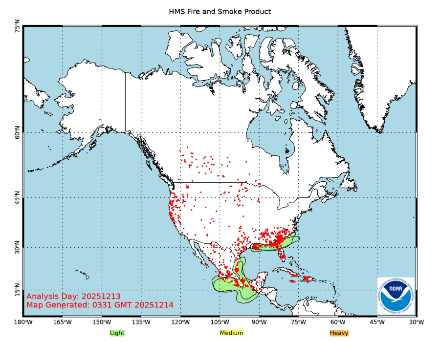
http://www.ospo.noaa.gov/data/land/fire/currenthms.jpg
https://www.geomac.gov/viewer/viewer.shtml
https://www.arcgis.com/home/webmap/viewer.html?webmap=df8bcc10430f48878b01c96e907a1fc3#!
https://airnow.gov/index.cfm?action=topics.smoke_wildfires
Thanks for those links.