


Posted on 01/18/2017 6:01:41 PM PST by Kathy in Alaska
((HUGS))Good morning, Kathy. How’s it going?
Good morning, E...((HUGS))...I picked my sister up at the airport last night. She came to give me a break in caring for my Mom. Both her memory and her hallucinations are getting worse. I need a mental break.
Hope you and Bo have a wonderful day. Hope Bo has been a great hunter of late.
Good night, Ladies....I’m right behind you. Rest is needed.
I’m getting ready to shut things down and head off to bed too. Got all the cats who get extra canned food fed and the sick ones medicated now.
Glad you’re able to go to bed early for a change, Kathy. A big THANK YOU to your sister for taking over mom duties for a while to give you a break.
Sleep well both of you.


|


Thank you for doing your part to help keep all of us free and safe.

Thanks, unique, for the pastries.
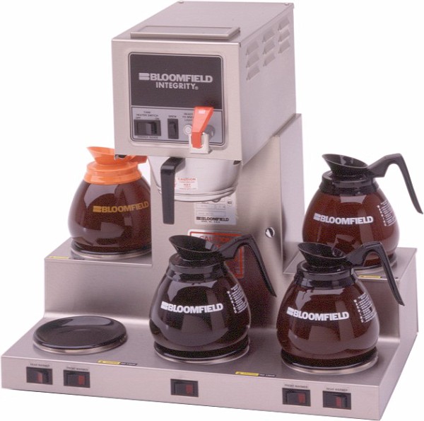
Coffee is always on........
How about a donut?
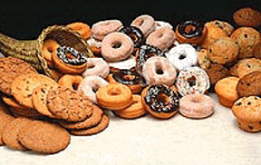
Cookies?

Veggies?

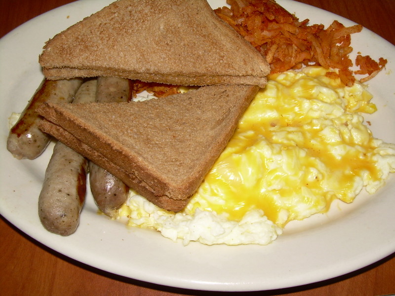
Sandwich?

Good morning, ML...((HUGS))...sounds like you had a great time, even in enemy territory.
I just picked my sister up at the airport yesterday. Maybe 10 days...
Good morning, ML...((HUGS))...sounds like you had a great time, even in enemy territory.
I just picked my sister up at the airport yesterday. Maybe 10 days...
OOPS...sorry about the double post.
I need sleep in my bed.
Prayers for your mom. Hopefully she gets better soon.
Bo found a gopher last Saturday. He almost found one yesterday but it ran away.
we are at 5300 feet.
Winter Storm Warning issued January 19 at 3:26AM MST until January 21 at 12:00PM MST by NWS Tucson
...WINTER STORM WARNING REMAINS IN EFFECT FROM 8 PM THIS EVENING TO NOON MST SATURDAY... * IMPACTS...MODERATE TO HEAVY SNOW COMBINED WITH BLOWING AND DRIFTING SNOW WILL CAUSE PERIODS OF LOW VISIBILITY AND SNOW COVERED ROADS RESULTING INTO HAZARDOUS DRIVING CONDITIONS ABOVE 5000 FEET. PERIODS OF BLIZZARD LIKE CONDIITONS ARE POSSIBLE FRIDAY EVENING INTO SATURDAY MORNING. * TIMING...TWO STORM SYSTEMS WILL IMPACT THE AREA TONIGHT THROUGH SATURDAY. STORM NUMBER ONE WILL BRING PERIODS OF MODERATE SNOW THURSDAY EVENING INTO FRIDAY MORNING. SNOW INTENSITY WILL EASE BETWEEN STORMS EARLY FRIDAY AFTERNOON... THEN STORM NUMBER TWO WILL BRING PERIODS OF HEAVY SNOW LATE FRIDAY AFTERNOON INTO LATE SATURDAY MORNING. * SNOW ACCUMULATIONS...6 TO 12 INCHES BETWEEN 5500 AND 7000 FEET AND 12 TO 36 INCHES ABOVE 7000 FEET. * SNOW LEVELS...LOWERING TO 7000 FEET THURSDAY AFTERNOON...6000 FEET FRIDAY MORNING...5500 FEET FRIDAY AFTERNOON...4500 FEET FRIDAY NIGHT AND SATURDAY MORNING. * WINDS...SOUTHWEST 15 TO 25 MPH WITH GUSTS UP TO 40 MPH TONIGHT INTO FRIDAY MORNING...THEN SOUTHWEST 25 TO 35 MPH WITH GUSTS UP TO 55 MPH FRIDAY AFTERNOON INTO SATURDAY MORNING.
Good morning, Sandrat. How’s it going?
I’m still C - O - L - D !
Howdy, EGC! (((hugs)))
Either YOU get up way too early or I go to sleep way too late! LOL! Hope you and Bo have a fun time at the lake today.
Talk About “Enemy Territory”!
We had to walk quite a way from the Parking Garage to get to the venue. I noticed some huge lighted windows at a print shop with students gathered around taking pictures with their smart phones of some activity inside the window. Naturally, my curiosity was piqued, and I glanced inside only to see hairy people silk screening HUGE anti Trump posters for tomorrow’s “festivities”. These signs were as large as a dining room tabletop!
Tres’ Expensive! Who (or what?) is paying for these?
Little did these little creeps know that the old lady in the crowd was one of those people who MADE Harvard Square a hip place a half century ago! They are “Culturally Appropriating” MY CHILDHOOD!!!!!!!
Disclaimer: Opinions posted on Free Republic are those of the individual posters and do not necessarily represent the opinion of Free Republic or its management. All materials posted herein are protected by copyright law and the exemption for fair use of copyrighted works.