
Posted on 03/16/2011 8:09:16 PM PDT by NoLibZone
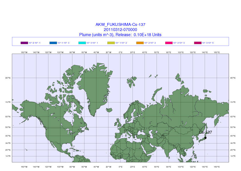
The Comprehensive Nuclear Test Ban Treaty Organization shows how weather patterns this week might disperse radiation from a continuous source in Fukushima, Japan. The forecast does not show actual levels of radiation, but it does allow the organization to estimate when different monitoring stations, marked with small dots, might be able to detect extremely low levels of radiation.
(Excerpt) Read more at nytimes.com ...
Health and nuclear experts emphasize that radiation in the plume will be diluted as it travels and, at worst, would have extremely minor health consequences in the United States, even if hints of it are ultimately detectable. In a similar way, radiation from the Chernobyl disaster in 1986 spread around the globe and reached the West Coast of the United States in 10 days, its levels measurable but minuscule.
The projection, by the Comprehensive Test Ban Treaty Organization, an arm of the United Nations in Vienna, gives no information about actual radiation levels but only shows how a radioactive plume would probably move and disperse
I keep seeing variations on this same map - can’t anyone come up with a full map of the United States?
It’s not just weather patterns that have to be looked at.
It’s the Jet stream as well.
You’d think the NY Times could show all 57 states.
Just what “plume”? Mainly this is a projection of what “might” happen “if” there were a plume. Anyone can make projections. My projection is that there is no plume and that eco-nut Luddites have ta]ken over. Emotionality and insanity prominent now in the media and in many “OMG” comments. Stay in the safe room covered in lead shielding until the all-clear.
Sorry - I didn’t check who put out the map - New York Times - that says it. It would be ‘unexpected’ if they did it right...
What plume would that be?
From the west coast, the jet stream moves across the mid west to the north east
Yes, I like that...
Good find.
Makes ya wonder why the u.S. is setting up more monitoring devices in the U.S. then doesn’t it?
Can you give us a link where you got that? We can’t bookmark your link but we might could bookmark the site where you got that.
radiation from the Chernobyl disaster in 1986 spread around the globe and reached the West Coast of the United States in 10 days, its levels measurable but minuscule-—
So 4 are melting down, and 2 more are heating up.
So times 4 or times 6 would it be ‘measurable’?
Some of the stuff in those spent rods and in #3 have a very long half life...even the sea water because of minerals and contaminants becomes radioactive....
COL (Chuckling out loud.)
Is it heading towards L.A. there at the end of the graph?
NARAC knows.
Disclaimer: Opinions posted on Free Republic are those of the individual posters and do not necessarily represent the opinion of Free Republic or its management. All materials posted herein are protected by copyright law and the exemption for fair use of copyrighted works.