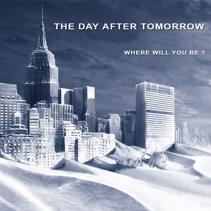
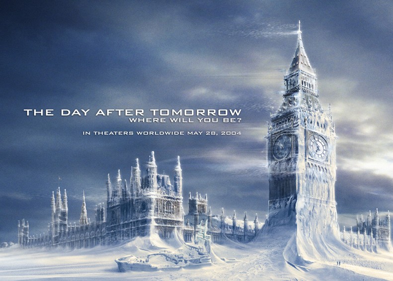
and London
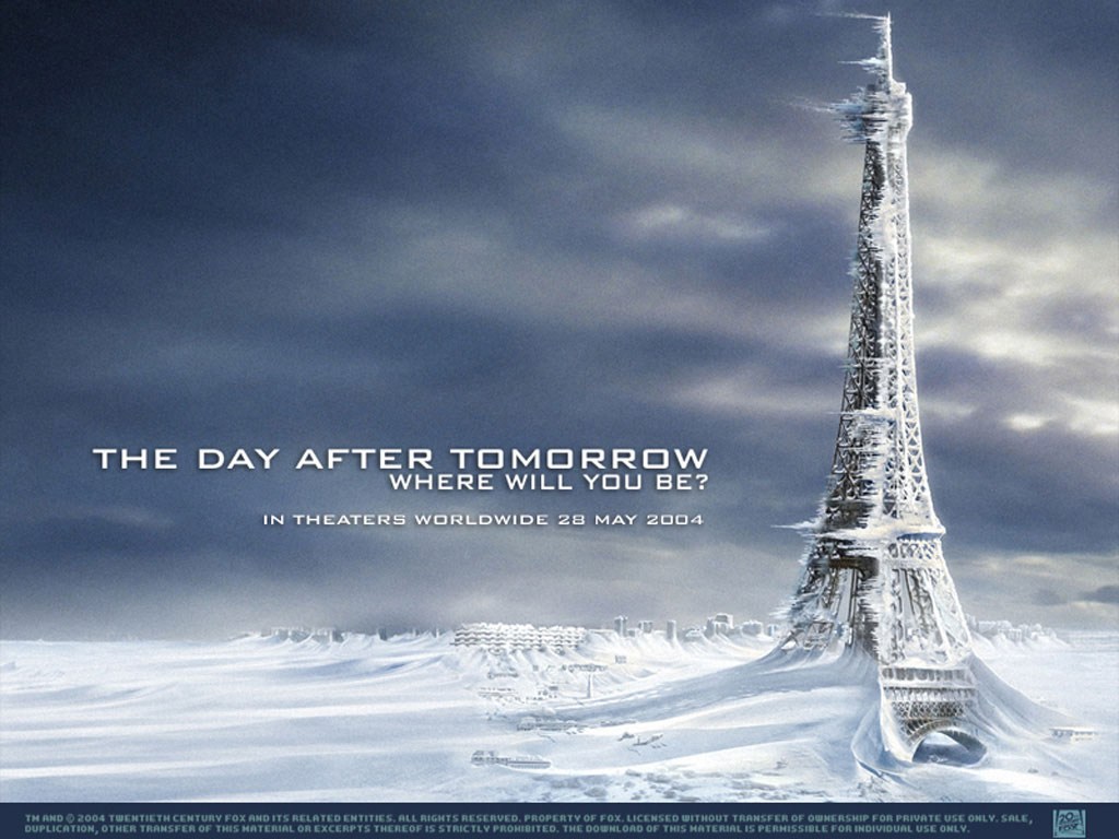
Paris
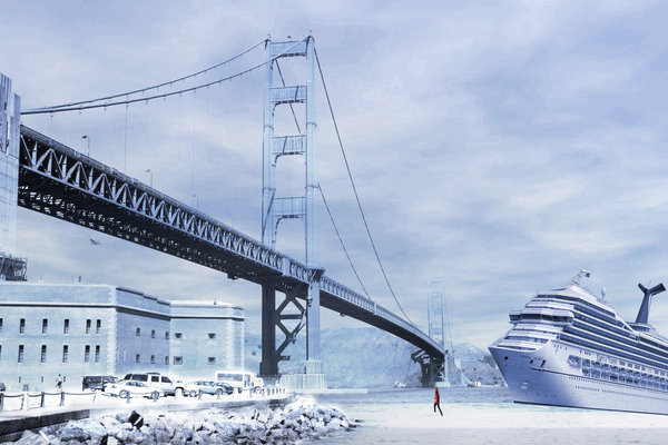
San Francisco
Tokyo

Posted on 09/20/2014 9:05:21 AM PDT by Ernest_at_the_Beach
This is simply “negative warming,” says reader Irving Prentice.
NATIONAL WEATHER SERVICE BURLINGTON VT… SEP 17 2014
CONDITIONS ARE IDEAL FOR A WIDESPREAD FROST/FREEZE EVENT THURSDAY NIGHT…AS STRONG HIGH PRESSURE SETTLES SOUTHEASTWARD ACROSS THE REGION FROM ONTARIO AND SWRN QUEBEC. 1000-500MB RH VALUES DROP
BELOW 30 PERCENT…AND ANTICIPATE GENERALLY CLEAR SKIES WITH LIGHT WINDS.
FREEZE WATCH FOR ALL ZONES EXCEPT GRAND ISLE COUNTY (CHAMPLAIN ISLANDS)…WHERE THE MODERATING INFLUENCE OF THE WARMER LAKE WATERS SHOULD LOCALLY PRECLUDE A FREEZE.
TEMPS WILL RANGE FROM 31-35F FOR MOST OF THE CHAMPLAIN VALLEY (JUST A FROST IN SOME LOCATIONS NEAR THE LAKE)…AND GENERALLY MID 20S TO LOWER 30S ELSEWHERE ACROSS NRN NY AND VERMONT.
THE FREEZE WILL BE CLIMATOLOGICALLY EARLY BY 1-2 WEEKS IN MANY AREAS OF CENTRAL/ERN VT AND THE ST. LAWRENCE VALLEY OF NY
Thanks to Ralph Fato for this link
Paging Gore-bull warming ...
One time, many years ago, when I was living in central vermont I listened to a radio weather report. It was the first week of September: “highs today in the low 70s with continual cooling through March.”
Pretty much summed up Vermont weather.
One day in the middle of May I woke up to snow flurries.
and London
Paris
San Francisco
Tokyo
There was a guy in Vermont who said he’d seen snow in every month of the year. Typical conversation in Vermont;
Skiier to ski lift operator: “You think it’ll snow?”
Ski lift operator: “Maybe twill. On the other hand, maybe twon’t.”
Disclaimer: Opinions posted on Free Republic are those of the individual posters and do not necessarily represent the opinion of Free Republic or its management. All materials posted herein are protected by copyright law and the exemption for fair use of copyrighted works.