
Posted on 05/12/2003 9:00:53 AM PDT by cogitator

This series of images from the Terra and Aqua MODIS instruments shows the break up and melting of seasonal ice in Lake Balkhash in southeastern Kazakhstan. The crescent-shaped lake is fresh water in the western half and saline in the east. The two sections are divided by a submerged sandbar. The Ili River feeds the freshwater end; the (west to east) Karatol, Aksu, and Lepsy Rivers flow into the eastern part. The larger, western portion of the lake is shallower and receives a greater volume of inflow than the eastern portion, which may explain why it thaws more quickly in this series of images. Between April 11 and April 22, 2003, the ice almost totally disappears from the lake, except for isolated pockets near the western shore and at the eastern end.
South of the lake is the Saryyesik-Atyrau desert. At the lower right of the images are the snow-covered peaks of the foothills of the Tien Shan Mountains. In several images, fires have been detected and are marked with red dots. The fires are an indication of the onset of springtime agricultural activities.
And just for fun; where is this, and why is the regin where it is located most famous?
Also, I couldn't find any images, but the island of Anatahan in the Marianas erupted over the weekend, first time in recorded history. It's had a bubbling acid lake for several years, but even in this era of seismic monitoring, the eruption was a surprise. Scientists who visited the island a week ago didn't detect any signs of an impending eruption.
Nice try, but you're too far west. See next post.
Not nearly that far away.
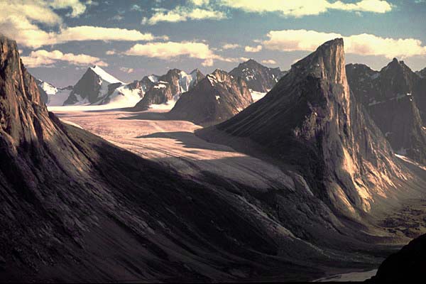
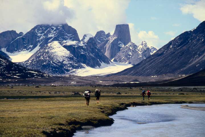
Nope, this one is in Canada. And it's a bigger than Devil's Tower.
Disclaimer: Opinions posted on Free Republic are those of the individual posters and do not necessarily represent the opinion of Free Republic or its management. All materials posted herein are protected by copyright law and the exemption for fair use of copyrighted works.