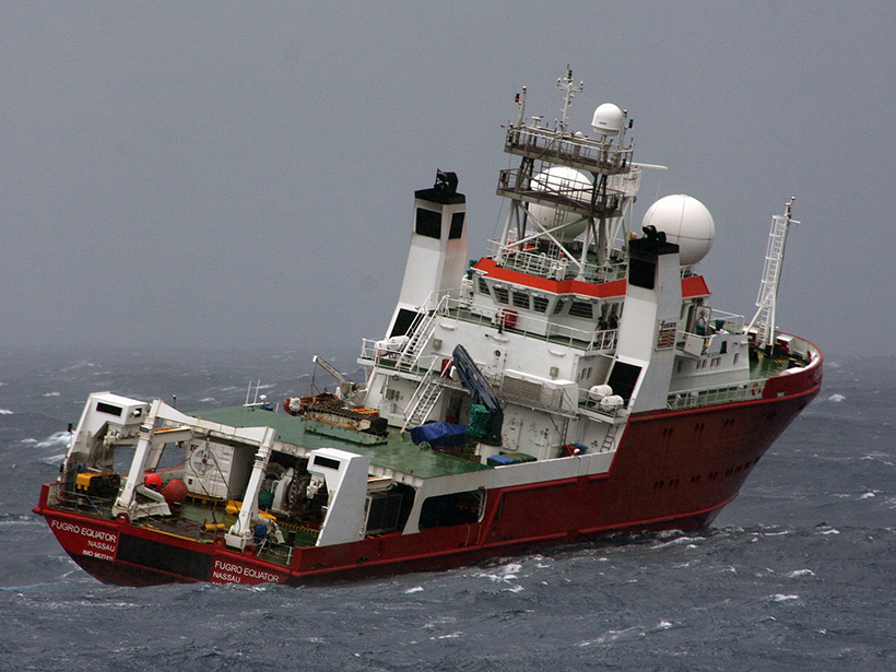
The M/V Fugro Equator, here, was one of three ships that collected sonar data from June 2014 to June 2016 searching for MH370. Those data led to a new high-resolution bathymetry map near the Southeast Indian Ridge. Credit: Justin Baulch, Australian Transport Safety Bureau, CC BY 4.0