Posted on 10/09/2018 4:49:06 PM PDT by NautiNurse
Major Hurricane Michael is churning toward the northeastern Gulf of Mexico coast. Florida Governor Rick Scott declared a state of emergency Monday for 35 counties with mandatory coastal evacuations in the FL Panhandle. 1,250 National Guard troops are aiding the process and more than 4,000 more placed on standby.
FEMA is already on the ground in Florida; other federal agencies are also preparing to assist people in the storm's path.
Alabama Gov. Kay Ivey on Monday declared a state of emergency for the entire state. Georgia Governor Nathan Deal issued a state of emergency for 92 counties ahead of Hurricane Michael landfall.
Meanwhile, Tallahassee city government (Andrew Gillum, Mayor & D'Rat FL Gubernatorial candidate) offices are "closed until further notice." Tallahassee International Airport is suspending commercial flight activity as 12:01 a.m. ET on Wednesday but expects to resume activity on Thursday.
The U.S. military moved its aircraft from the Panhandle on Monday. Roughly 50 F-22 stealth fighter jets — valued around $150 million each — have been relocated from the Tyndall Air Force Base, while the U.S. Navy said it is moving all its training aircraft from Pensacola.
Energy Production The Bureau of Safety and Environmental Enforcement (BSEE) on Tuesday estimated that around 726 MMcf/d (28.4%) of natural gas production and 670,831 b/d (39.5%) of oil production in the GOM had been shut in ahead of the storm.
As of midday Tuesday, 75 platforms and three rigs had been evacuated, while eight dynamically positioned rigs had been moved out of the storm’s path as a precaution, according to BSEE.
Gulf of Mexico Satellite Channels
Public Advisories
NHC Discussions

NHC Local Weather Statements/Radar Key West FL
NHC Local Weather Statements/Radar New Orleans, LA
NHC Local Weather Statements/Radar Mobile AL/Pensacola FL
NHC Local Weather Statements/Radar Panama City, FL
NHC Local Weather Statements/Radar Tallahassee, FL
NHC Local Weather Statements/Radar Tampa Bay, FL
Thanks for the explanation
The eye earlier had a hexagonal appearance due to mesi-vortexes rotating around it, like we saw in Harvey at landfall. Those appear to have been absorbed, and that energy translated into greater overall windspeed for the eye.
This is th3e worst I have seen since Katrina peaked out. I will not be shocked if they pick up gust close to 200 MPH on some of the weather instruments (if any are still working).
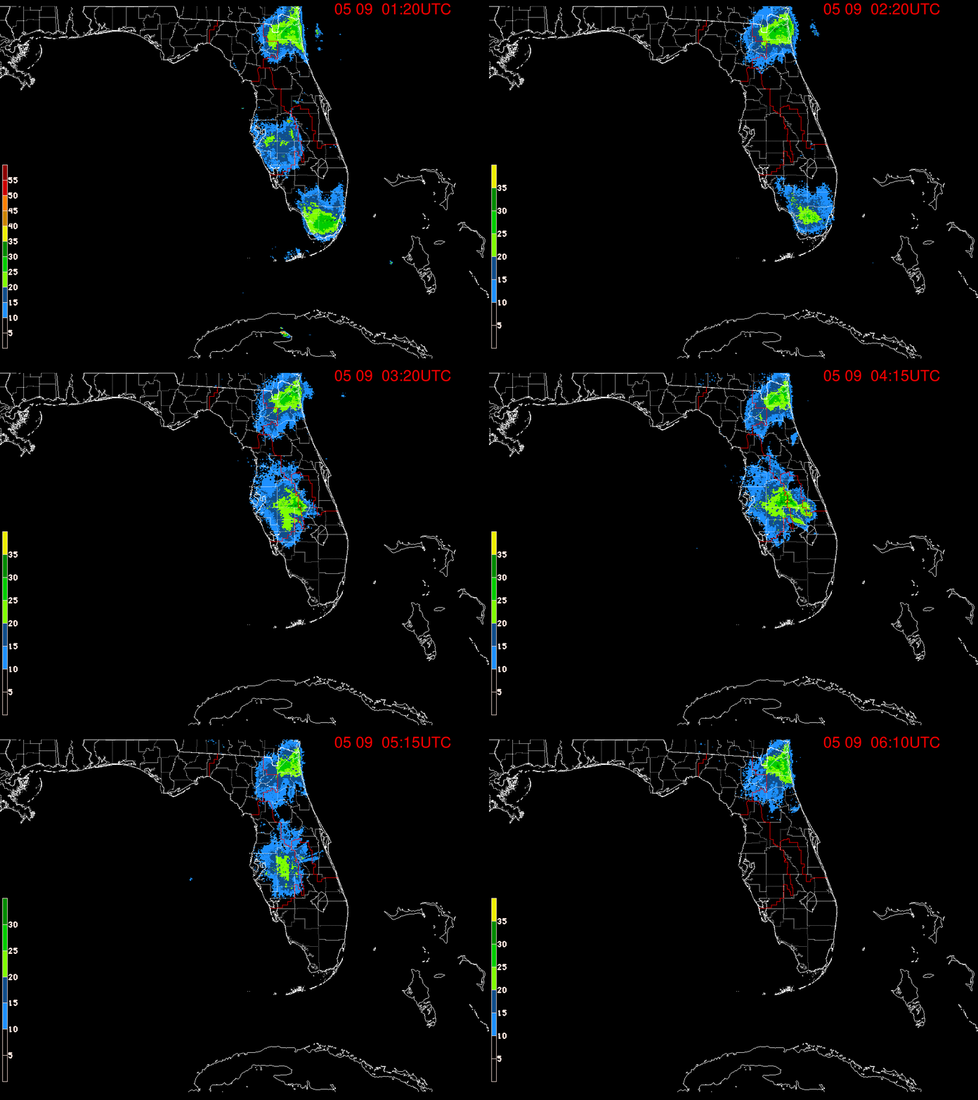
Jacksonville had some strong thunderstorms move in off the Atlantic. Unrelated to the hurricane. That was all.
Those high winds deep into GA will be devastating. Will never forget the damage in Charlotte from Hugo, which was still a hurricane that far inland. Countless huge old oak trees toppled.
Thanks, kristinn.
Nothing but pinetrees in s. Ga.
Media is absolutely giddy. A hurricane during the day! Fearmongering live, in daylight. (Yes, guess sarcasm intended.)
When it reaches 920’s what does that mean in terms of impacting land, homes, flood levels, or wind damage? Does it mean everything is flattened? My goodness, sounds a thousand times worse than our earthquakes.
Thank you, NN, for the best news service on hurricanes. Really appreciate your continual effort.
Shep Smith on live. He can’t help but mention oysters.
Pine trees will come down too. Hurricane Fran inland NC 1996. Had six pine trees on/against the roof. In fact, a ‘possum moved in before they were removed.
Thanks for the link. I’m watching Weather Channel with the sound off and the Ham link on my Fire.
With 2 hours until the next scheduled NHC update, does anyone think Michael will reach Cat 5?
Fearmongering is the wrong word to use when a system making landfall is on the edge of being a Cat 5. You might want to ask those who were in Gulfport, MS when Cat 5 Camille made landfall, except a lot of them died.
Having recently gone through the devastating effects of hurricane Florence as a Cat 2, my heart breaks for the people in the Panhandle of Florida who are facing this monster storm as a Cat 4.
Needless to say, I’m praying for them.
The NHC will make updates off-schedule as recon data warrants.
Catastrophic damage will occur: A high percentage of framed homes will be destroyed, with total roof failure and wall collapse. Fallen trees and power poles will isolate residential areas. Power outages will last for weeks to possibly months. Most of the area will be uninhabitable for weeks or months.
Re: rural Georgia, can you imagine crop losses at harvest time? Hopefully, folks there have basements or whatever kind of shelter withstands the winds and rain?
Ryan Maue said Dvorak estimates used off Sat data in storms too far out for recon support Cat 5. As does the most recent recon pressure. At this point, it really doesn’t matter. This is a major hurricane intensifying at landfall. Usually along the Northern Gulf, they are weakening - Katrina, Rita, etc. So this will have a major wind damage component along with the surge component which will spread very far to the east given the configuration and nature of the shoreline there.
Disclaimer: Opinions posted on Free Republic are those of the individual posters and do not necessarily represent the opinion of Free Republic or its management. All materials posted herein are protected by copyright law and the exemption for fair use of copyrighted works.