Posted on 09/04/2017 2:02:19 PM PDT by NautiNurse
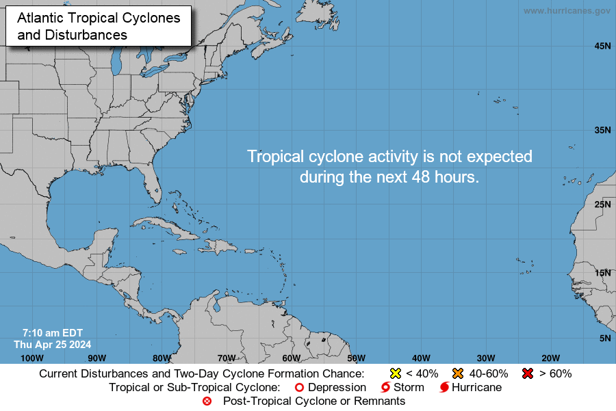
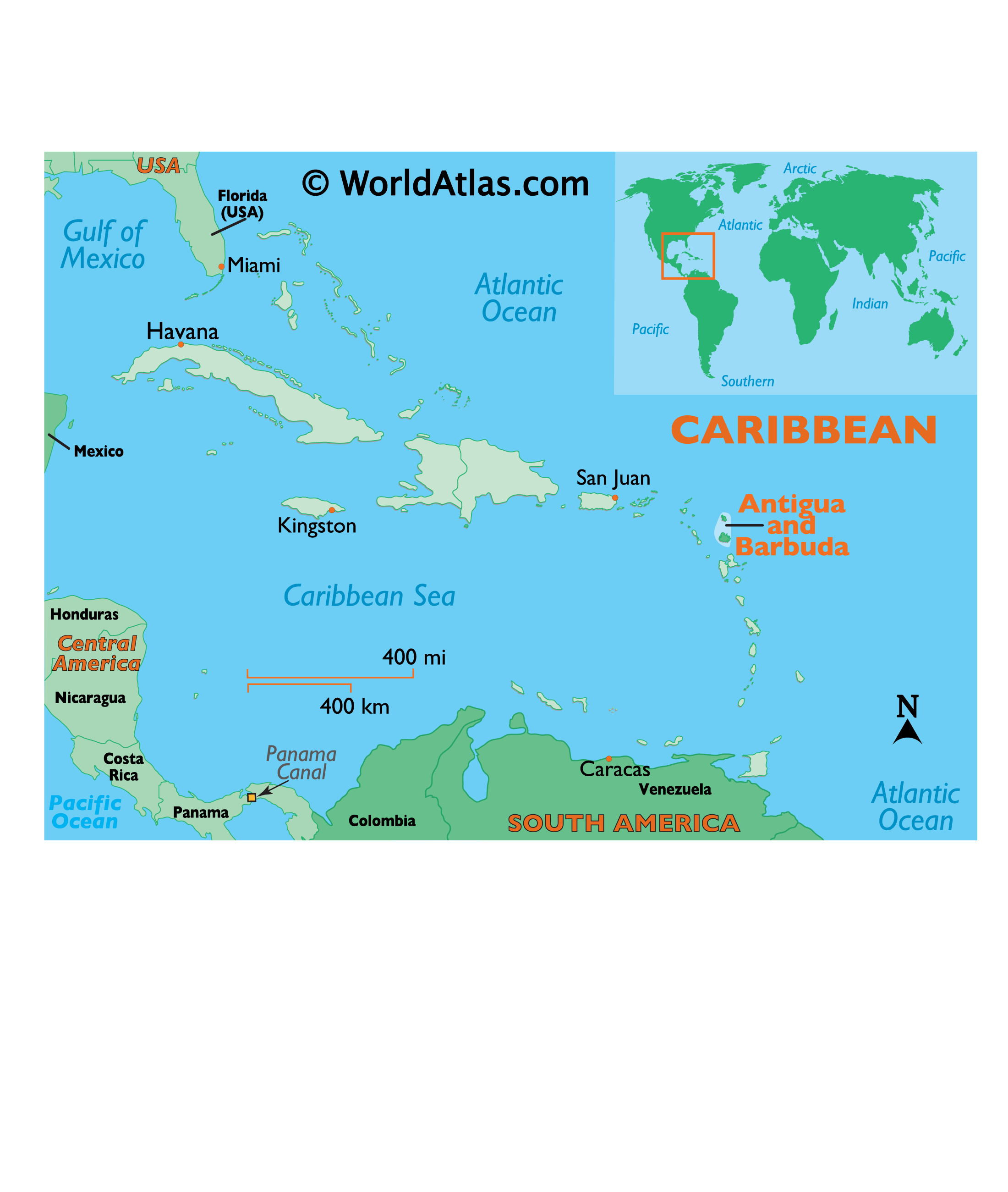
While thoughts and prayers are with our Texas FRiends and neighbors, we are at the peak of the Atlantic Tropical Storm season. Hurricane Irma continues its trek from Cape Verde across the pond and toward the Hebert Box (see below). People with interests in the Southeastern U.S. and Gulf of Mexico should be alert to the forecast path updates for this powerful storm. It is important to note that the average NHC track errors are about 175 and 225 statute miles at days 4 and 5, respectively.
Hurricane Irma originally had a small wind field. In the past 24 hours, however, the wind field has expanded with hurriance force winds up to 40 miles from the center, and tropical storm force winds up to 140 miles from the storm center.
FL Governor Rick Scott reminds Floridians: Families should take time today to make sure you have a disaster plan and fully-stocked Disaster Supply Kit. Florida residents from West Palm Beach to Tampa Bay are heeding the alert. Store shelves are emptying of bottled water.


Mash image to find lots of satellite imagery links
Public Advisories
NHC Discussions
NOAA Local Weather Statements/Radar San Juan, Puerto Rico
NHC Local Weather Statements/Radar Miami, FL
NHC Local Weather Statements/Radar Key West, FL
Buoy Data Caribbean
Buoy Data SE US & GOM

Hebert Box - Mash Pic for Tutorial
Credit: By J Cricket - Modification of map from Wiki
Excellent advice, CG
"I HAVE not posted today as i am frantically doing last min chores…. after we are locked in i will post more if i have internet..
We are Close to hurricane being on top of us. A few hours away to some wind stArting.
Nothing yet but sea getting rough at Half moon bay. Very very dangerous storm ahead especially if the north turn does not happen.
We will have the eye over us and will get creamed on all sides. Only blessings is this is not a huge hurricane like Luis was in 1995 but still damage will be major.
We will most likely have no communication for some time. They will turn off the power island wide later in the day.😱 Time to be determined.
Airport closing very soon. Last flights out this early afternoon.
We pray for safety and to survive this monster. I will post on www.stormcarib.com as long as I can. And then. When I can after 🙏 thanks for the outpouring of love ❤️ and concern from around the world. I fear for my island people and all of our island creatures. And. Those islands 🌴 who will get this next. We must stAy strong and positive to get through this.
Marthawatkinsgilkes at gmail.com"

11am advisory out, 180mph, 931mb
bump
Beaufort is a pretty place, but, Savannah has it beat.
We have reservations inland if we need to go, and, a way to get back in if there is anything left here.
Our problem is we live on a boat in the ICW. Should be fine as long as the docks don’t float away. If it comes this way and isn’t a hurricane by then, we’ll just ride it out.
Mike Thomas
@MikeTFox5
1m
NEW: Category 5 Hurricane #Irma moved into top 7 strongest all time in the Atlantic with winds of 180mph & gusts over 200mph reported. Wow.
Now that is s giant storm. Pray for the Caribbean.
My late Grandam used to go to San Juan all the time. She would bring back trinkets for us grandkids, and my late grandpa would grumble about to much water, etc.
This is going to be a monster. We have tornadoes in Iowa all the time. But they were limited events. A 180 mph strike is going to be devastating
Prayers to you and yours. Hubby and I live in Panama City. It’s been nice the last ten years not having this to deal with and worry about. After all this I hope it’s another ten years before we hear the word hurricane again.
No. No. Irma, you are not allowed to start expanding your wind field out that far!
Gasp. I got the chocolate this morning. How did your meeting go?
You know someone is going to ask.(It is me)
Is A Category 6 Hurricane Possible?
"Last year, Hurricane Patricia reached maximum sustained winds of 215 mph in the eastern Pacific Ocean. It was the most intense tropical cyclone ever recorded in the Western Hemisphere, based on those 1-minute maximum sustained surface winds on Oct. 23, 2015."
I’m leaving WPB Thursday morning for Orlando, but I have no idea if that is good enough.
Hurricane Donna was the last storm of this magnitude to hit the Keys and took out bridges.

The 1935 storm took out Flagler's railroad.

I wonder how well the current bridges and causeways will hold up?
Now...I'm humming that awful ear worm song Windy by The Association. Where is don-o?
On my way home shortly ...chocolate stop on the way:)
We are in full disaster prep. Expecting to bring critical patients from mostly east coast (smaller) hospitals. Pretty much what we did for Matthew with caveats of “if this, then...” The weather guys simply can’t say if this is a through-the-state buzzsaw yet.
The loading dock is in overdrive.
As always, logistics, logistics, logistics...
Mood from newcomers to Fl...what’s the big deal...mood from long time Floridians. ..sober.
I imagine evac of hospitals in the Keys are imminent too.
Based on these data the initial intensity is set at 155 kt for this
advisory. This makes Irma the strongest hurricane in the Atlantic
basin outside of the Caribbean Sea and Gulf of Mexico in the NHC
record.
(Tucked into the 11 am official advisory)
Disclaimer: Opinions posted on Free Republic are those of the individual posters and do not necessarily represent the opinion of Free Republic or its management. All materials posted herein are protected by copyright law and the exemption for fair use of copyrighted works.