Posted on 10/06/2016 4:10:09 AM PDT by NautiNurse
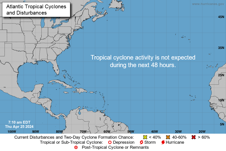
Hurricane Matthew is big, bad and just downright scary, with iminent and sustained impacts to U.S. mainland. Florida Governor Rick Scott issued a state of emergency for all of Florida and disaster operations are activated. More than 1.5 million Floridians reside in current evacuation zones. Governor Scott has spoken with utilities across the state to ensure utilities are pre-positioned and there are no unmet needs. Multiple coastal hospitals have been evacuated. Meanwhile, feckless President Barack Hussein Obama is personally monitoring the progress of the storm.


Cone of Death Historic Archive Loop

Mash image to find lots of satellite imagery links
Public Advisories
NHC Discussions
NHC Local Hurricane Statements
Florida Radar Loop
Florida & Eastern Gulf Buoy Locations
SE Atlantic Coast Buoy Locations
SE U.S. Radar Sector
FL Emergency Management Disaster Info by County
Local News Sources: Palm Beach Post
WFLC FOX 29
WPTV West Palm Beach
WPEC CBS 12 Palm Beach
My News 13 Brevard
WOFL FOX 35 Orlando
WFTV 9 ABC News Orlando
TC Palm (Treasure Coast)
Space Coast Daily
If the info above doesn't satisfy your need for speed and graphics, strap yourself in for a ride to Mike's Weather Page
You know your stuff. The Gulf Stream is closest to OBX. I would bet 35mi or so to get to it.
If this storm swirls up and turns around to hit Melbourne, that would be hell.
My nephew has a big boat in Beaufort SC and is there now. I will leave him alone as his night hasn’t begun yet.
I know Hatteras Village well, spent a fair amount of time on Hatteras Island. The island is over 60 miles long, and the climate varies significantly as you go north due to the presence and departure of the Gulf Stream. In Hatteras Village, away from the salt spray of the ocean, you’ll see the wild palmettos, and spanish moss-draped live oaks found throughout the coastal southeast. You’ll see a little of it as far up the island as Buxton, but beyond that it turns into juniper, cedar and low scrub scattered among the dunes. If you see a palm, it’s been planted by somebody and likely has a heating element around the root ball. The water temps from the southern OBX to the northern OBX can vary wildly, even in summer. 82 at Hatteras Village and 67 at Duck is not uncommon.
I get to work out there from time to time on the North around Nags Head.
I have a fellow worker in Wilmington.
I think the worst will be the low Country around Hilton Head.
I have been put on call for both Carolina’s effective today.
I am the back-up power guy.

It’s a good shot but find that zoom. :^)
This storm has been odd and I wouldn’t even begin to try to prognosticate, the meteorologists have their hands full. That said, Highway 12 that runs almost the entire length of OBX will flood in some areas due to nothing more than a summer thunderstorm, and some beaches are regrettably unstable. It wouldn’t take much to breach the dune line and take that highway out again, in north Rodanthe primarily. They’ll have some problems there as a result of this storm, but nothing too far out of the ordinary. The weather out there can be sort of primal, it’s always something. That’s part of the thrill of being there, the constant wind and roaring surf.

It’s changed quite a bit in 35 years. My first visit was 1975. My last visit was 2015.
I think the Low Country has the worst to fear. The Front pushing through the mid-west causing Tornadoes in KS is going to influence this one.
Haitian death toll at 300. I’m sure the Clintons are on the fast track to get more money.
If I were to guess I’d think flooding from heavy rain would be more of a threat there than anything else. That’s what made Hurricane Floyd so damaging in the Carolinas, flooding from heavy rain.
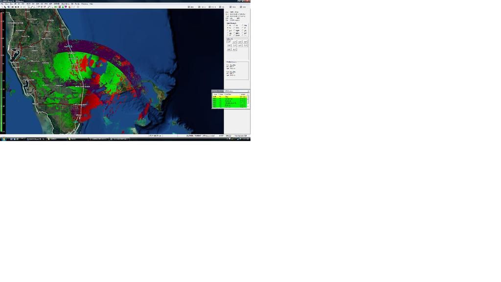
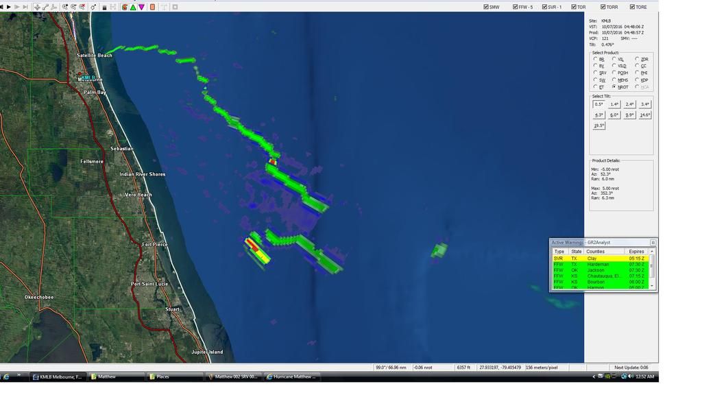
I know where the zoom is, and y’all don’t need base reflectivity imagery anyway....EVERYbody has that. Those early images were establishing workflow, from the software that processes the level 2 data, (including the status of my data feed), thru image capture, processing, upload, and html coding to get the link here.
It’s coming along, but we ain’t home yet.
:-)
9ft surge predicted along GA,SC border.
LOL! No problems. All information helps. Thanks :^)
I see in that picture...
Cell Phones Kill more than Hurricanes
Government will ruin/own anyone left standing
(Clinton Foundation will soon swoop in to “help”)
Bill Keating getting sandpapered by “wet sand” at 50mph.
Unless it hits at high tide, that’s going to flood streets and some ground level retail close to waterfront or in flood zones, not likely to be enough to cause much in the way of structural damage, in and of itself. Beach erosion, a few houses might collapse if there’s no protective dune line or it’s breached.
A steady 50 mph wind can do that. What we saw on that webcam in south FL earlier this evening wouldn’t.
Disclaimer: Opinions posted on Free Republic are those of the individual posters and do not necessarily represent the opinion of Free Republic or its management. All materials posted herein are protected by copyright law and the exemption for fair use of copyrighted works.