To: alancarp
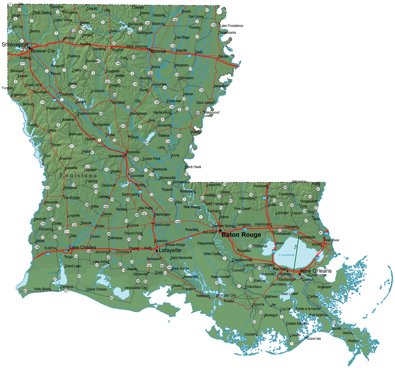
Last evening’s Euro run now has landfall quite a bit west - west of Morgan City even - then pushing further west as it encounters the coast. However, it now looks to be the ‘outlier’ as almost every other model brings it in tonight within 25 miles of the center of NO.... at the current speed of 7-8 mph.
518 posted on
08/28/2012 6:40:07 AM PDT by
alancarp
(Liberals are all for shared pain... until they're included in the pain group.)
To: alancarp
521 posted on
08/28/2012 6:52:27 AM PDT by
TornadoAlley3
(Obama is everything Oklahoma is not.)
To: alancarp
The
GFS Model Run from 14 hours ago indicated a direct hit over the top of NOLA in 36 hours... i.e., 7AM CDT tomorrow morning. That would be near a high tide, but the tide changes are not significant on the Gulf Coast... maybe a foot higher than low tide - nothing more.
522 posted on
08/28/2012 6:56:05 AM PDT by
alancarp
(Liberals are all for shared pain... until they're included in the pain group.)
FreeRepublic.com is powered by software copyright 2000-2008 John Robinson