
bookmarked

There has been virtually no media coverage of this remote area - but hundreds or thousands of people may have died here. The residents who were sensible enough to evacuate the area have been pleading with the news networks and state government for any information, to no avail. This is the most underreported aspect of the disaster, in my opinion.
I'm interested in this parish because I spent a few days in Venice, LA many years ago. After searching for the last few days, these are the ONLY photos I could find of the devastation -
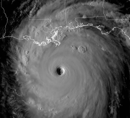
NOAA aerial image for larger view of south Plaquemines Parish, La., near Empire, Buras and Boothville where Hurricane Katrina made landfall on Aug. 29, 2005, at approximately 7:10 a.m. EDT. The vessel pushed on shore demonstrates Katrina’s power -
NOAA aerial image for larger view of south Plaquemines Parish, La., near Empire, Buras and Boothville where Hurricane Katrina made landfall on Aug. 29, 2005, at approximately 7:10 a.m. EDT -
NOAA aerial image for larger view of south Plaquemines Parish, La., near Empire, Buras and Boothville where Hurricane Katrina made landfall on Aug. 29, 2005, at approximately 7:10 a.m. EDT -
The buildings, the fiercely independent people and the land are gone - perhaps forever. All that remains is the Mississippi River and a road to nowhere.
Hurricane Katrina destroyed the Biloxi-Ocean Springs Bridge in East Biloxi, Mississippi, Wednesday morning Aug. 31, 2005. (Patrick Schneider/Charlotte Observer/WpN
Beth Stump, right, works to comfort her two daughters, Breanna, 9-weeks-old, and Bonnie, 2, as the three wait to get food from the Salvation Army in east Biloxi, Mississippi, Wednesday morning Aug. 31, 2005. The family's home was washed off its foundation and into the street by Hurricane Katrina. (Patrick Schneider/Charlotte Observer/WpN)


