Skip to comments.
Hurricane Isidore Strengthens to
Category 2
Wunderground.com ^
| September 20, 2002
| National Hurrican Center
Posted on 09/20/2002 2:11:52 AM PDT by NautiNurse
Maximum sustained winds...105 mph.
Minimum central pressure... 967 mb.
Extremely heavy rainfall amounts...up to 20 to 30 inches
Coastal storm surge flooding of 8 to 10 feet above normal tide levels...along with large and dangerous battering waves...can be expected near and to the east of where the center makes landfall.
(Excerpt) Read more at wunderground.com ...
TOPICS: Front Page News; News/Current Events; US: Alabama; US: Florida; US: Louisiana; US: Mississippi; US: Texas
KEYWORDS: hurricane; isidore
Navigation: use the links below to view more comments.
first 1-20, 21-40, 41-60, 61-63 next last
 |
Hurricane Isidore Advisory Number 17
Statement as of 5:00 am EDT on September 20, 2002
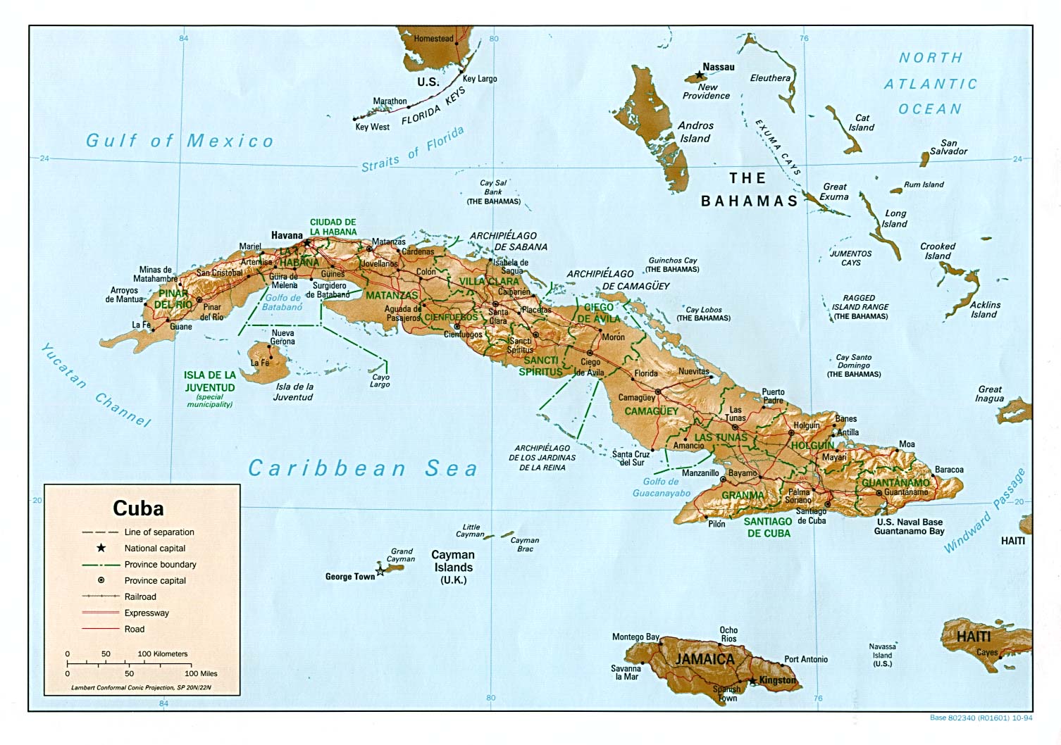
...Isidore continues to strengthen as it moves near the Isle of Youth... A Hurricane Warning remains in effect for the western Cuba provinces of Matanzas...Ciudad de La Habana...La Habana and Pinar del Rio ...Including the Isle of Youth. A tropical storm watch is in effect for the lower Florida Keys... west of the Seven Mile bridge...and the Dry Tortugas. A tropical storm watch means that tropical storm conditions are possible within the watch area...generally within 36 hours. A Tropical Storm Warning remains in effect for the Cayman Islands but will likely be lowered later this morning. At 5 am EDT...0900z...the center of Hurricane Isidore was located near latitude 21.3 north...longitude 83.3 west. This position is very near the southwest tip of the Isle of Youth and about 110 miles...175 km...south-southwest of Havana Cuba. Isidore is moving toward the northwest near 8 mph ...13 km/hr...and this motion is expected to continue for the next 24 hours. On this track the core of the hurricane will move over far western Cuba during the next 24 hours.
Maximum sustained winds are near 105 mph...165 km/hr...with higher gusts. Some additional strengthening is forecast during the next 24 hours. Hurricane force winds extend outward up to 35 miles... 55 km... from the center...and tropical storm force winds extend outward up to 145 miles...230 km. The estimated minimum central pressure is 967 mb...28.56 inches. Extremely heavy rainfall amounts...up t0 20 to 30 inches...can be expected over portions of western Cuba over the next two to three days. Coastal storm surge flooding of 8 to 10 feet above normal tide levels...along with large and dangerous battering waves...can be expected near and to the east of where the center makes landfall. Repeating the 5 am EDT position...21.3 N... 83.3 W. Movement toward...northwest near 8 mph. Maximum sustained winds...105 mph. Minimum central pressure... 967 mb. For storm information specific to your area...please monitor products issued by your local weather office. An intermediate advisory will be issued by the National Hurricane Center at 8 am EDT followed by the next complete advisory at 11 am EDT. Forecaster Lawrence |
To: blam; ghostrider; MinuteGal
Computer models are getting more loopy. Tampa local predictions are still wary of the trough over east Texas that could nudge the storm east.


To: NautiNurse
I don't like that LBAR model!
3
posted on
09/20/2002 2:33:39 AM PDT
by
ovrtaxt
To: NautiNurse
I just thought of something... I bet the perps in Gitmo are having a good time in those chain link cages! heehee!
4
posted on
09/20/2002 2:35:27 AM PDT
by
ovrtaxt
To: ovrtaxt
With FOAM mattresses...
*squish*
5
posted on
09/20/2002 2:36:34 AM PDT
by
ovrtaxt
To: ovrtaxt
The terrorist detainees are on the east side of Cuba--missing the hurricane punishment excitement.
To: ovrtaxt
Hiya--another Tampa Bay neighbor! Looks like Issie will torment us for several days. I think I'll go pick avocados and trim my roses.
To: NautiNurse
I thought it was at the western tip? Huh. Howboutdat.
8
posted on
09/20/2002 2:43:18 AM PDT
by
ovrtaxt
To: ovrtaxt
To: ovrtaxt
Me neither, and I'm not too fond of the GFDL either.
Remember Elana that storm that just stalled in the Gulf and did all kinds of storm surge damage to the West Coast of Florida without ever making landfall.
Well, may be time to get out the plywood for the windows that we haven't had to use for years. We'll see.
10
posted on
09/20/2002 2:53:03 AM PDT
by
dawn53
To: ovrtaxt
That's all I need... something to rip all of my key limes of of my tree and turn them into into ballistic missiles.
11
posted on
09/20/2002 2:53:08 AM PDT
by
piasa
To: dawn53
I remember going to Dunedin Beach right after Elena. We didn't recognize anything. The storm had changed the shape of the whole area. We used to skimboard on one particular part. It was completely full of rocks about 6" across.
12
posted on
09/20/2002 2:56:05 AM PDT
by
ovrtaxt
To: dawn53
I believe that GFDL will prove to be the most accurate model. At least for the next 110 hours.
13
posted on
09/20/2002 3:02:41 AM PDT
by
raygun
To: ovrtaxt
We're at the southern tip of the Pinellas peninsula, and Gulf Boulevard was sand after Elana. That was before they dredged in Treasure Island, so I don't think there'd be the same problem there again but further south and north, I think you'd see a repeat if something strong passed in the Gulf.
And of course, there are the ever popular houses on Tampa Bay, which don't have a chance if the storm passes in such a way as to force all the water up into the Bay.
14
posted on
09/20/2002 3:28:50 AM PDT
by
dawn53
To: dawn53
Yes, Bayshore in Tampa has flooded into people's houses before! Where are you, Tierra Verde, Pinellas Point?
15
posted on
09/20/2002 3:34:04 AM PDT
by
ovrtaxt
To: ovrtaxt
In Lakewood (immediately north of the Point neighborhood). We never have had a flooding problem because of all the water hazards on the course. We've got a water hazard right in front of us, and the water just drains off into the lakes and then into Lake Maggiore. In fact, for being as close to the Bay and Gulf as we are, it's amazing but we're in the last evacuation zone.
Had an alligator in my yard once when the lake got high. That's always fun!
16
posted on
09/20/2002 3:55:40 AM PDT
by
dawn53
To: dawn53
Wasn't that the park where all the uhurururururus were having those big community parties with blatant drug use and so on? I forgot what they called it, but Mark Larsen was railing about on 970 at the time...
17
posted on
09/20/2002 4:05:46 AM PDT
by
ovrtaxt
To: ovrtaxt
No uhurus here, LOL. I think you're thinking of Bartlet Park or Jordan Park.
Our neighborhood has been integrated for 25 years, and is very stable, it has one of the lowest crime rates in the city plus the advantage of lots of wildlife: bald eagles, great herons, egrits, osprey, gators galore, fox squirrels, gophers, and the ever popular wood storks who used to migrate here in the winter, but some have decided to stay all year.
The uhurus demonstrations have been north of here, closer to downtown and the Trop.
18
posted on
09/20/2002 4:26:50 AM PDT
by
dawn53
To: ovrtaxt
By the way, when is Larsen on 970?
I listened to him years ago, but then he quit.
I did hear him occasionally filling in for Glenn Beck, but haven't heard him since Beck went national.
Does he have a regular time slot?
19
posted on
09/20/2002 4:28:50 AM PDT
by
dawn53
To: NautiNurse
Now they have flipped the predicted course again. It started at Panama City. Then shifted to Mobile. Then back to Panama City. Then Tallahassee. Now Gulfport. I think these long range forecasts would be a lot more meaningful, if they just showed a projection band with confidence intervals for bounds.
Navigation: use the links below to view more comments.
first 1-20, 21-40, 41-60, 61-63 next last
Disclaimer:
Opinions posted on Free Republic are those of the individual
posters and do not necessarily represent the opinion of Free Republic or its
management. All materials posted herein are protected by copyright law and the
exemption for fair use of copyrighted works.
FreeRepublic.com is powered by software copyright 2000-2008 John Robinson