Skip to comments.
Hurricane Dorian Live Thread
NHC/NOAA ^
| 28 August 2019
| NHC/NOAA
Posted on 08/28/2019 1:34:36 PM PDT by NautiNurse
Hurricane Dorian battered St. Thomas in the U.S. Virgin Islands, and brushing Puerto Rico. Taking aim at the Florida Atlantic Coastline, Hurricane Dorian is projected to be a major hurricane (Category 3) at landfall.


Satellite Imagery Dorian
NHC Public Advisories
NHC Discussions
Florida Radar Loop (with storm track overlay)
Buoy Data with Storm Track overlay
TOPICS: Extended News; News/Current Events; US: Florida
KEYWORDS: alert; dorian; florida; hurricane; hurricanedorian; live; livehurricanedorian; miami; nautinurse; noaa; tropical
Navigation: use the links below to view more comments.
first previous 1-20 ... 561-580, 581-600, 601-620 ... 1,281-1,286 next last
To: rodguy911
I’m getting dizzy from this storm. More than most it’s confounding!
I see the models roughly in agreement but remember reading yesterday this scenario would give temporary, false comfort and not to change preparations if we saw this, but it would be great if it just skedaddled it’s way due east.
581
posted on
08/30/2019 5:20:46 PM PDT
by
SE Mom
(Screaming Eagle mom)
To: SE Mom
After watching that 18 minute video by the guy named Berny he showed brilliantly just how difficult it is to track these things.Basically, after Sunday night they are going with a hand-off of Dorian being steered by an ever weakening low pressure moving west of the Keys to a yet to be named Upper level high pressure that will become a weak steering current and who knows how it will take Dorian when or where.
About as tough as tracking storms can get with just about as many opinions as well.
582
posted on
08/30/2019 5:31:04 PM PDT
by
rodguy911
(Maga: USA supports Trump. Home of the Free because of the brave.)
To: dirtboy
583
posted on
08/30/2019 5:37:56 PM PDT
by
alancarp
(George Orwell was an optimist.)
To: alancarp
Category 4 If not, it'll do til one comes along.
yikes :-\
584
posted on
08/30/2019 5:49:32 PM PDT
by
tomkat
To: musicman
585
posted on
08/30/2019 5:59:07 PM PDT
by
musicman
(The future is just a collection of successive nows.)
To: abb; abbi_normal_2; aberaussie; abner; AbsoluteGrace; alancarp; Alas Babylon!; Alia; ...
Category 4 Hurricane Dorian Summary Of 800 PM EDT...Information
----------------------------------------------
Location...About 400 MI E of the Northwestern Bahamas
About 575 MI E of West Palm Beach FL
Max Sustained Winds...125 MPH...
Moving...WNW at 10 MPH...
Minimum Pressure...950 MB...
Hurricane-force winds extend outward up to 30 miles from the
center and tropical-storm-force winds extend outward up to 115 mi.

On/Off Hurricane List Mash Here--> 
586
posted on
08/30/2019 6:00:30 PM PDT
by
NautiNurse
(Will trans-Atlantic trains cross over or under the ocean?)
To: All
Corrected for Category 4 130 mph sustained winds...
Category 4 Hurricane Dorian
Summary Of 830 PM EDT...Information
----------------------------------------------
Location...About 400 MI E of the Northwestern Bahamas
About 575 MI E of West Palm Beach FL
Max Sustained Winds...130 MPH...
Moving...WNW at 10 MPH...
Minimum Pressure...950 MB...
587
posted on
08/30/2019 6:08:17 PM PDT
by
NautiNurse
(Will trans-Atlantic trains cross over or under the ocean?)
To: rodguy911
My prediction is kill devil hills nc landfall.
588
posted on
08/30/2019 6:08:22 PM PDT
by
CJ Wolf
(The world needs a spanking.)
To: alancarp
Is it just me or is that a tight little circle of hurricane force winds? Gotta wonder if that's likely to expand or not?
My guess is one of the worst factors of this storm will be if it slows down and starts dumping lots and lots of rain.Along with higher than normal tides that could be a really bad flooding scenario.
Do you buy Bernies theory of the upper level low off the keys steering Dorian for now and than Sunday night a hand-off to an upper level low which seems difficult to define?
589
posted on
08/30/2019 6:08:24 PM PDT
by
rodguy911
(Maga: USA supports Trump. Home of the Free because of the brave.)
To: NautiNurse
Thank you, NN. Hope you’re getting family squared away...
590
posted on
08/30/2019 6:10:20 PM PDT
by
SE Mom
(Screaming Eagle mom)
To: John S Mosby
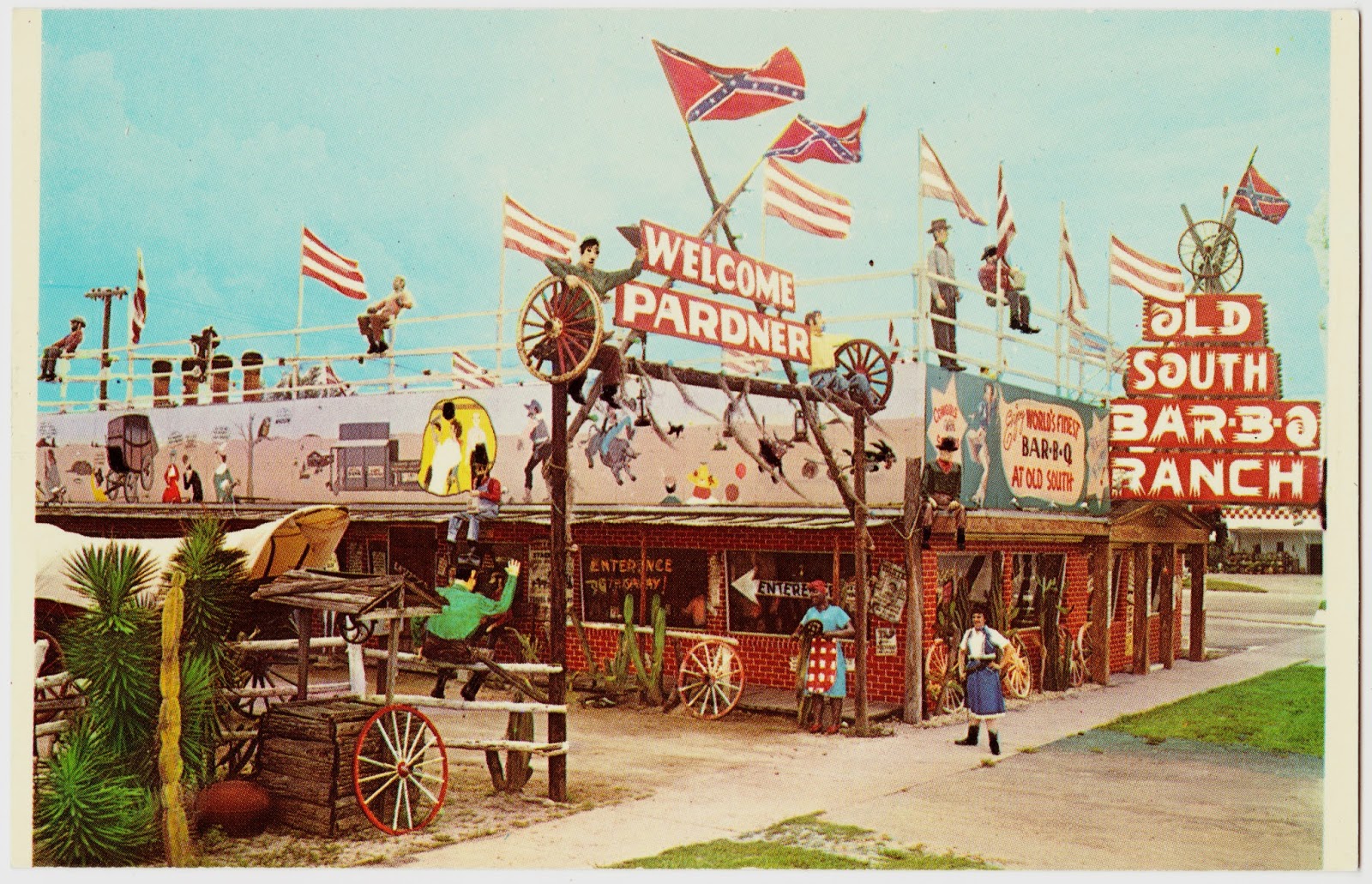
” all Jamaicans flown in to cut and burn the cane fields, “
I rode past those cane fields south of Clewiston one night when they were burning them. It seemed like it went for miles and miles.
Always enjoyed eating at the old Clewiston BBQ.
To: CJ Wolf
Than you are buying into what Bernie claims will happen that Dorian may not even hit the Fla. coast but skirt all three,Fla. Ga. SC and hit KDH on the outer banks.very well might happen,I'm not smart enough to know.
592
posted on
08/30/2019 6:12:05 PM PDT
by
rodguy911
(Maga: USA supports Trump. Home of the Free because of the brave.)
To: Rebelbase
That place used to be awesome haven’t eaten there in years now.
593
posted on
08/30/2019 6:13:14 PM PDT
by
rodguy911
(Maga: USA supports Trump. Home of the Free because of the brave.)
To: rodguy911
I dont know bernie. So nothing to buy into. I dont think it will hit Florida.
594
posted on
08/30/2019 6:15:16 PM PDT
by
CJ Wolf
(The world needs a spanking.)
To: SE Mom
Thank you, dear! Bringing Mom over to Gulf Coast tomorrow. All packed and ready to go. I hope you are ready for this crazy storm.
595
posted on
08/30/2019 6:33:24 PM PDT
by
NautiNurse
(Will trans-Atlantic trains cross over or under the ocean?)
To: dirtboy
Very healthy storm. The loop is mesmerizing.
596
posted on
08/30/2019 6:36:37 PM PDT
by
NautiNurse
(Will trans-Atlantic trains cross over or under the ocean?)
To: rodguy911
I don't think it's open anymore.

To: CJ Wolf
598
posted on
08/30/2019 6:42:19 PM PDT
by
rodguy911
(Maga: USA supports Trump. Home of the Free because of the brave.)
To: rodguy911
To: rodguy911
Hearing that 'hand-off' theory from multiple sources and it's not uncommon for other storm types, too, so yeah - that has a ring of truth to it.
It is a relatively compact storm, but that can change. Here's a quote from popsci.com about that:
"When Irma rapidly grew into a hurricane on the morning of August 31, 2017, its hurricane force winds only extended 15 miles from the center of the storm. To put that in perspective, the storm's core of intense winds was only about the size of Florida's Lake Okeechobee. But by the time Irma made landfall 10 days later, it was large enough to engulf the entire state."
They go on to suggest that storms grow as their organization improves and evolves. Eyewall replacement cycles contribute to this, too. Dorian is looking really good right now with a cleared-out eye, so... tomorrow might mean some changes.
Unfortunately, a slowing storm may also help it grow before landfall. Oy.
600
posted on
08/30/2019 6:54:34 PM PDT
by
alancarp
(George Orwell was an optimist.)
Navigation: use the links below to view more comments.
first previous 1-20 ... 561-580, 581-600, 601-620 ... 1,281-1,286 next last
Disclaimer:
Opinions posted on Free Republic are those of the individual
posters and do not necessarily represent the opinion of Free Republic or its
management. All materials posted herein are protected by copyright law and the
exemption for fair use of copyrighted works.
FreeRepublic.com is powered by software copyright 2000-2008 John Robinson


