An interesting comment. Here is a state map showing counties
and basically where the oaks are.
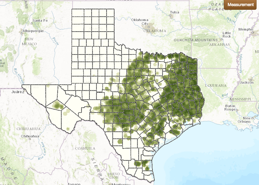
http://www.texasstandard.org/stories/we-wanna-know-where-does-west-texas-begin/
An interesting comment. Here is a state map showing counties
and basically where the oaks are.
http://www.texasstandard.org/stories/we-wanna-know-where-does-west-texas-begin/
If a person want’s to be a little more specific it’s around Abilene where it changes to Mesquites.
I guess the Panhandle IS west of the centroid of the state.
North; too.
Basically, all you have to do is extend the eastern side of the panhandle all the way south to the Rio Grand. Not perfect, but pretty darn close.