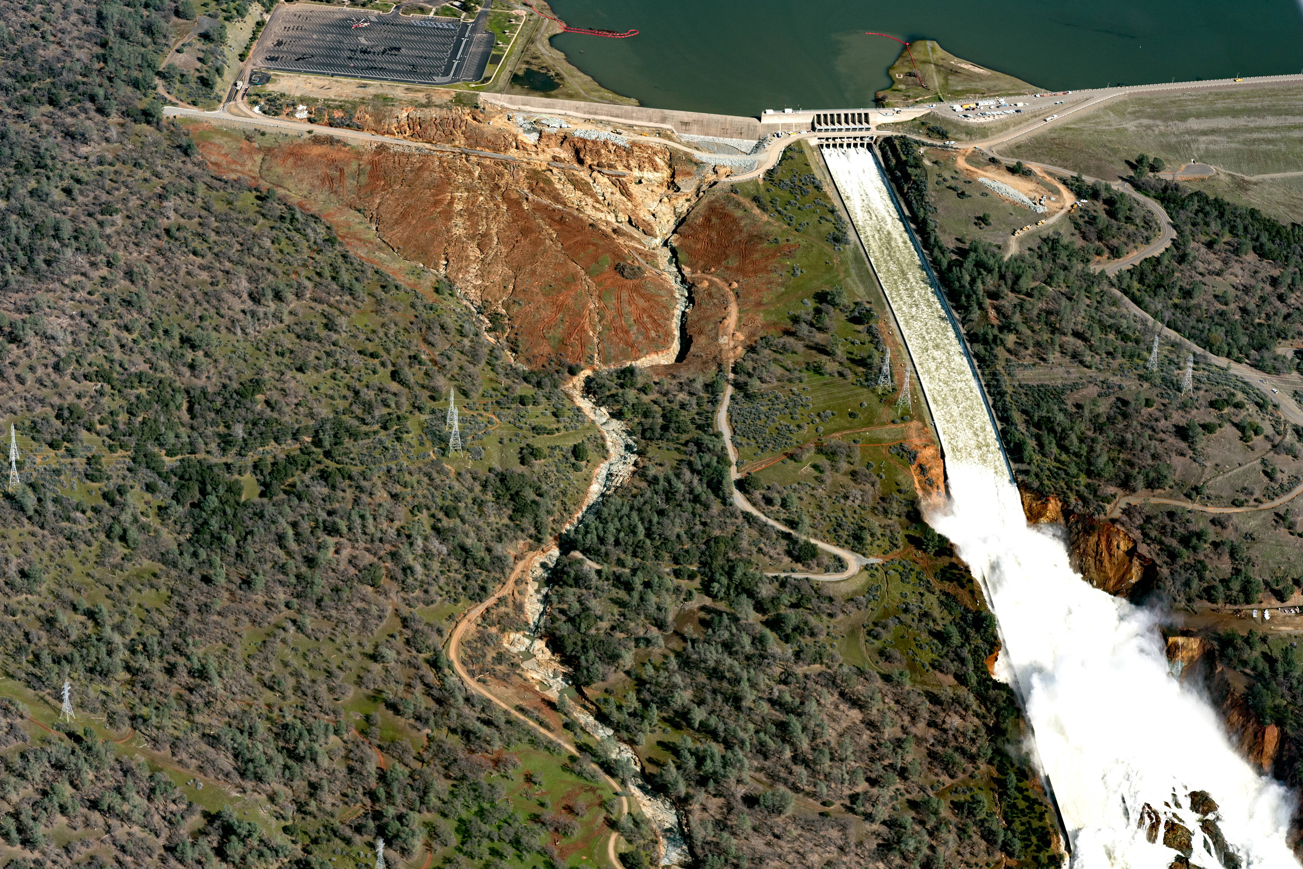
I think it was on this thread, but there is discussion on other sites about water appearing around and from under both spillways. About a third of the way down the page at this link there is an image that shows how close the erosion is to the emer spillway.
15 minutes .. Aerial views coupled with his pointing out area context with maps .. Knowledgeable re details to date.
Many thanks for the link!
What day and time is the pic near? there are day and time notations in the article.