If the Mississippi "wants to" go down the Atchafalaya channel, it looks like the Corps has no choice but to let it have its way for a few weeks. This is a big flood.
Posted on 05/28/2011 9:15:13 PM PDT by topher
As Mississippi River recedes, flood warning lifted for New Orleans
By John Pope, The Times-Picayune
Based on a drop in the level of the swollen Mississippi River, the National Weather Service on Friday canceled its weeks-long flood warning for New Orleans and points downriver.
Despite this development for south Louisiana, the weather service’s flood warning remains in effect for points upriver, including Baton Rouge, where levee seepage has led the state Office of Transportation and Development to close River Road’s southbound lane from North Third Street to State Capitol Drive.
In New Orleans, the river’s flood stage is 17 feet, but the weather service saw no reason to maintain the flood warning as the Mississippi’s level dropped to 16.8 feet, where it is expected to stay through Monday before dropping another 0.1 foot on Tuesday, said Jeff Graschel, service coordination hydrologist for the weather service.
There are several reasons for the change, he said, including falling levels upstream and the Bonnet Carre and Morganza spillways’ ability to divert some of the flow.
(Excerpt) Read more at nola.com ...
Very dry here...
Here is a NOAA NWS map showing flooding:
Link to NOAA/NWS Map of flooding and status
Color Purple is bad.
[Must not be LSU fans who did the map!]
At this point, 330 [of 350 possible] gates of Bonnet Carre into Lake Pontchartrain are open. Lake Pontchartrain is too large to flood and is connected directed to the Gulf.
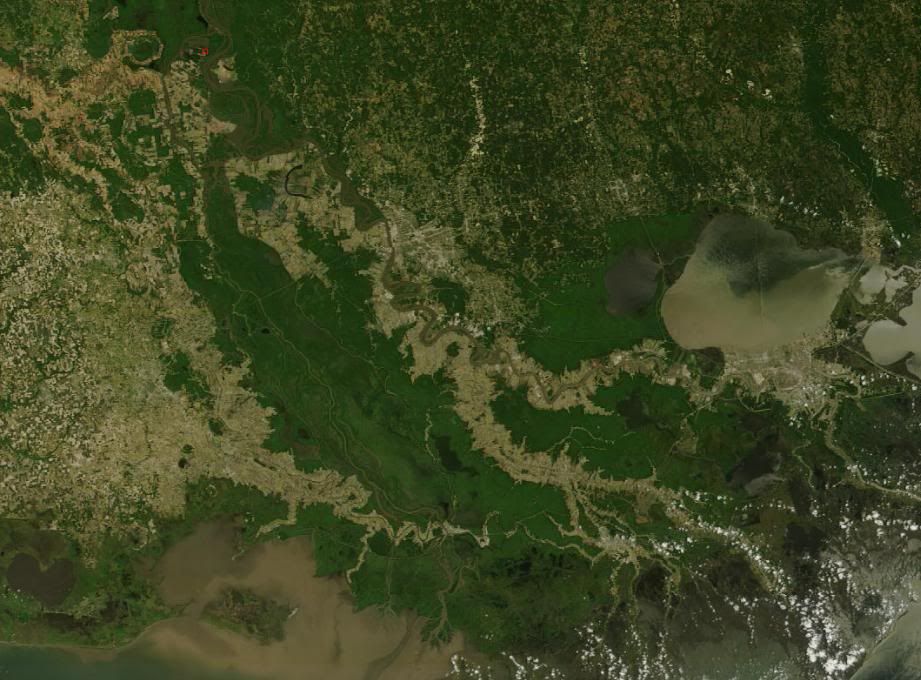
On the other hand, 12 gates out of 25 gates are open on the Morganza Spillway are open. These gates flood the Atchafalaya swamp and river...
If the Mississippi "wants to" go down the Atchafalaya channel, it looks like the Corps has no choice but to let it have its way for a few weeks. This is a big flood.
Disclaimer: Opinions posted on Free Republic are those of the individual posters and do not necessarily represent the opinion of Free Republic or its management. All materials posted herein are protected by copyright law and the exemption for fair use of copyrighted works.