_________________
_________
Posted on 08/31/2009 6:46:31 AM PDT by kellynla
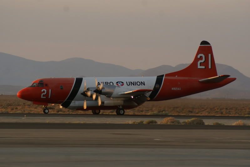
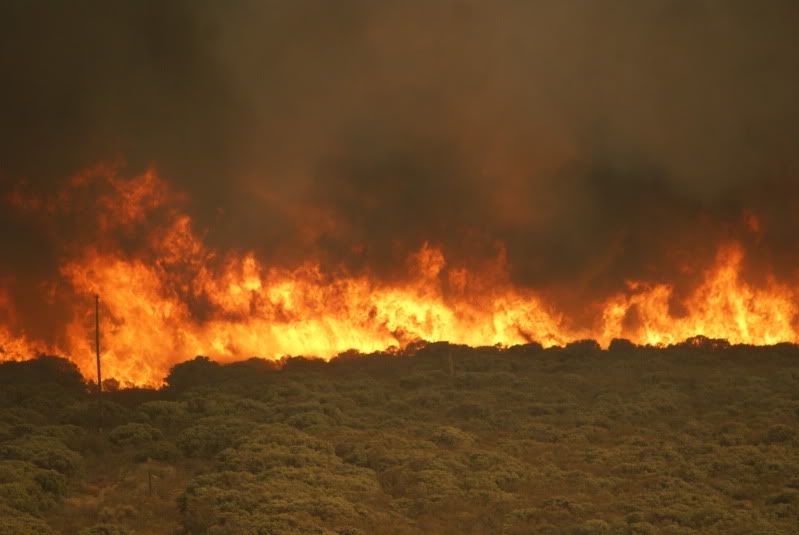
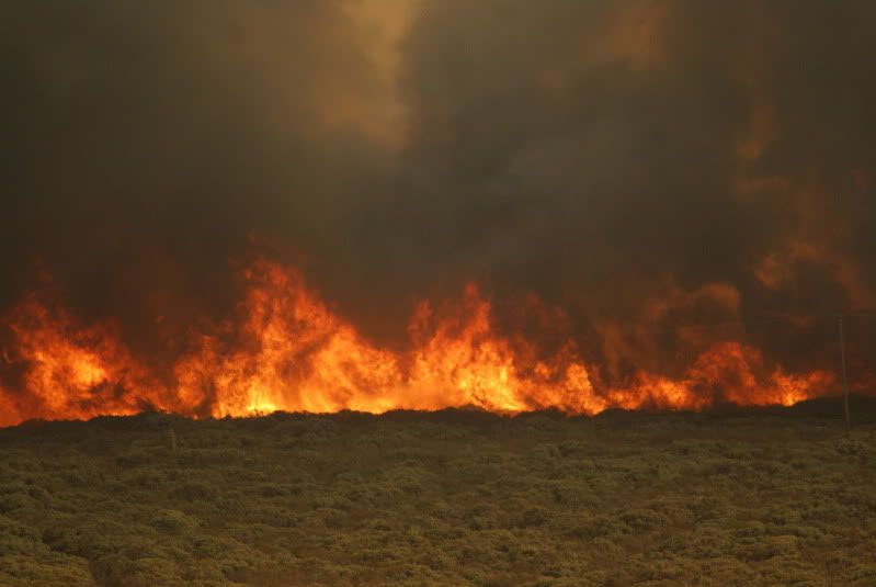
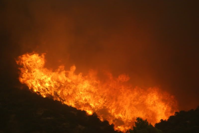
LOS ANGELES (AP) -- Firefighters tried Monday to hold back a massive wildfire from consuming thousands of Los Angeles-area homes and a crucial communications center as they mourned two firefighters killed when their vehicle rolled down a mountain.
About 12,000 homes, as well as communications and astronomy centers atop Mount Wilson, were threatened by fire. At least 6,600 homes were under mandatory evacuation orders Sunday night and over 2,500 firefighters were battling the flames. On the blaze's northwestern front, two firefighters were killed Sunday on Mount Gleason near the city of Acton.
(Excerpt) Read more at hosted.ap.org ...
This is the evacuation area for Tujunga per the InciWeb on the Station Fire: (http://inciweb.org/incident/1856/)
Tujunga: Northwest of Day at Blue Gum Canyon Rd, to Glory Ave to westbound Apperson St to northbound Fairgrove Ave to westbound Summitrose St to northbound Pinyon Ave to westbound Hillrose St to northbound Seven Hills Dr to Lonzo St.
You could Mapquest or Google Map it & see if it’s close to your friends. There was a flare-up tonight in the Tujunga/Sunland area.
Thanks - good idea about doing the Google map, I’ll take a look.
Looks as though the evacuation area is about two blocks from them. Yikes.
Haines Canyon x Day St is being evacuated.....(up to Haynes Motorway)
Those blocks are very close to the hills - and have a lot of trees on them.
I wonder what are the chances that the fire will get into the city blocks.
from my experience watching this sort of thing, the chances aren’t good that the fire will pour into city blocks. I bet your friends are evacuated and sitting, exhausted but safe, in a shelter.. or with friends or family out of harm’s way.
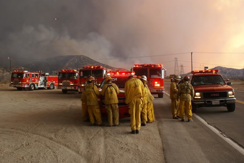
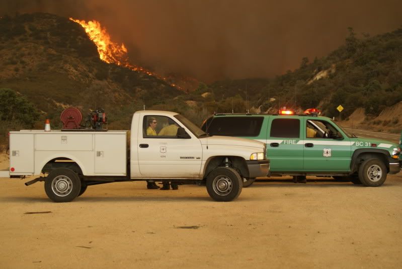
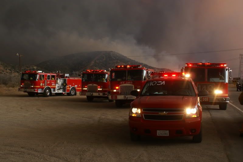
I heard USFS dude roll up and was somewhat surprised LAFD had 20 rigs sitting there...that werent even attached to the Station Fire.
LAFD and Glendale (with Burbank and Pasadena) have just been sitting there in case something bumps into their cities...as they know the breakdowns in response on a huge fire.


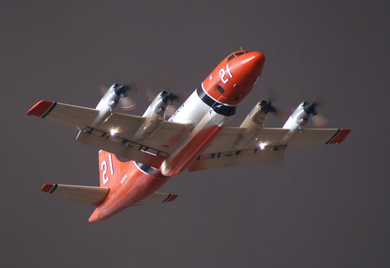
Where do you even get these fantastic photos. m.g.
real? or fake?
no way to know given that they fake their photos for publishing.
Yes, I was referring to Yosemite National Park. That would explain why the brush clearance was in progress there.
I still don't get this thing about brush clearance being illegal everywhere else. Makes absolutely no sense. I haven't looked for the state law that forbids this, but I also haven't seen anyone post an excerpt of it, either. I've only heard hearsay about this alleged law, so far.
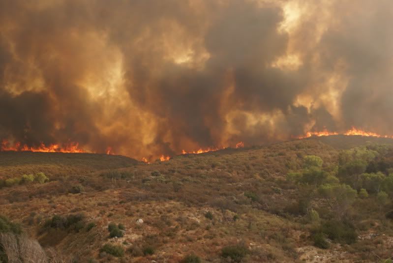
Pyrocumulus... I had to laugh, the name sounds so amateur. Whatever.
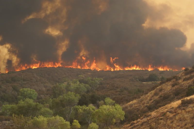
absolutely AWESOME PHOTOS BurbankKarl !!!
Thank you, Marine Uncle, Fatima and all faithful FReepers. Thank GOD!! I woke up before dawn and behold, the sky was strewn with clouds. Later in the morning, I heard there was scattered rain falling across the southland!!
Awesome pictures. In a totally terrifying way...
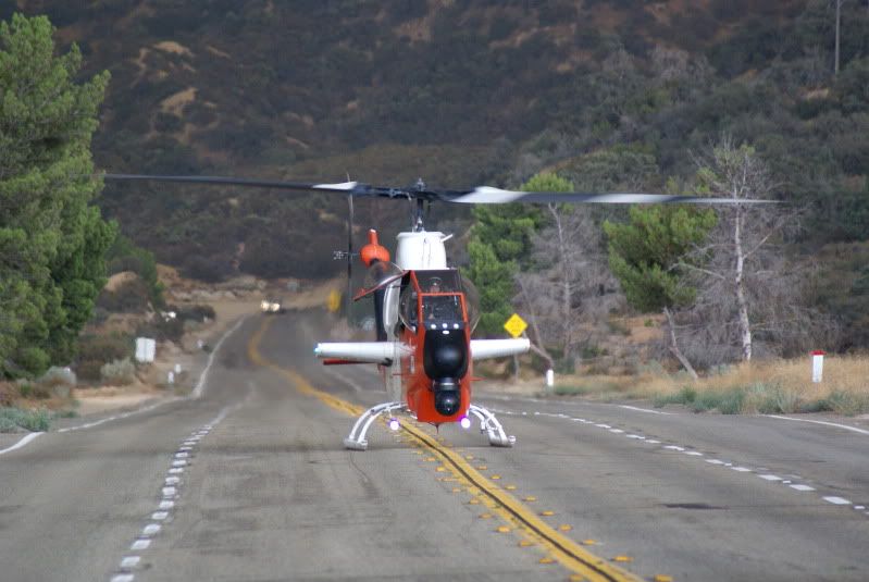
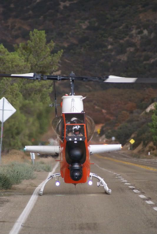
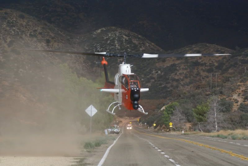
Is that helecopter for observation? I don’t see anything for transporting water.
I’ve never seen a chopper like that!!
Waving hello to you La Enchiladita.....
It truly was a blessing to see the clouds. At 4:30 this morning I opened up the windows and could “ smell rain” in the air.
Although it didn’t rain anything but ashes here.
How far are you from the fire ?
polly
Cool! Looks like a civilian-ized Apache.
*Waving*
I see you, sissyjane and I showed up simultaneously, lol.
I woke up at 4:30 also!!
I am in WLA, a good 20 miles or more from the scene.
You are much closer!!
Because it’s not a Santa Ana condition, we are not getting smoke blown over us, but only see that huge cloud over the mountains.
Disclaimer: Opinions posted on Free Republic are those of the individual posters and do not necessarily represent the opinion of Free Republic or its management. All materials posted herein are protected by copyright law and the exemption for fair use of copyrighted works.