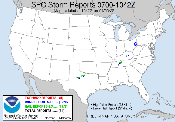
Moderator's this is a serious weather situation, this storm is developing in the same type pattern like the one that killed over 24 people this past Sunday.
Posted on 04/06/2006 4:48:45 PM PDT by stlnative

Watch 159 Status Reports
STATUS REPORT #1 ON WW 159
VALID 062330Z - 070040Z
THE SEVERE WEATHER THREAT CONTINUES ACROSS THE ENTIRE WATCH AREA.
..MEAD..04/06/06
ATTN...WFO...SGF...EAX...
&&
STATUS REPORT FOR WT 159
SEVERE WEATHER THREAT CONTINUES FOR THE FOLLOWING AREAS
KSC011-021-037-107-121-070040-
KS
. KANSAS COUNTIES INCLUDED ARE
BOURBON CHEROKEE CRAWFORD
LINN MIAMI
$$
MOC009-011-013-015-029-037-039-043-057-059-065-067-077-083-085-
091-097-101-105-109-119-125-131-141-145-149-153-159-161-167-169-
185-203-209-213-215-217-225-229-070040-
MO
. MISSOURI COUNTIES INCLUDED ARE
BARRY BARTON BATES
BENTON CAMDEN CASS
CEDAR CHRISTIAN DADE
DALLAS DENT DOUGLAS
GREENE HENRY HICKORY
HOWELL JASPER JOHNSON
LACLEDE LAWRENCE MCDONALD
MARIES MILLER MORGAN
NEWTON OREGON OZARK
PETTIS PHELPS POLK
PULASKI ST. CLAIR SHANNON
STONE TANEY TEXAS
VERNON WEBSTER WRIGHT
$$
THE WATCH STATUS MESSAGE IS FOR GUIDANCE PURPOSES ONLY. PLEASE
REFER TO WATCH COUNTY NOTIFICATION STATEMENTS FOR OFFICIAL
INFORMATION ON COUNTIES...INDEPENDENT CITIES AND MARINE ZONES
CLEARED FROM SEVERE THUNDERSTORM AND TORNADO WATCHES.
$$
Keep your heads down, folks!
Prayers for ALL...
Aviation Watch (SAW) for WW159
Note: The Aviation Watch (SAW) product is an approximation to the watch area. The actual watch is defined by the list of counties (WOU) above.
SAW9
WW 159 TORNADO KS MO 062255Z - 070600Z
AXIS..90 STATUTE MILES EAST AND WEST OF LINE..
5ENE SZL/KNOB NOSTER MO/ - 55SSE SGF/SPRINGFIELD MO/
..AVIATION COORDS.. 80NM E/W /56ENE BUM - 55SSE SGF/
HAIL SURFACE AND ALOFT..2.5 INCHES. WIND GUSTS..60 KNOTS.
MAX TOPS TO 500. MEAN STORM MOTION VECTOR 23050.
LAT...LON 38749179 36479137 36479462 38749512
THIS IS AN APPROXIMATION TO THE WATCH AREA. FOR A
COMPLETE DEPICTION OF THE WATCH SEE WOUS64 KWNS
FOR WOU9.
System is supposed to be in North Alabama tomorrow. TWC and locals already posting "heads up".
Please tell me this isn't heading my way again.....we've already had over 3ins of rain today and my backyard is flooded.....I'm in central Il right outside Decatur..

I hope it's not headed your way either cause I'm in St. Louis county, and it will hit us before it hits you, usually. I'm sick of these dangerous storms. Folks around here are still trying to clean up their storm damage from last weekend, sigh.
I'm sick of them too...we've been hit hard twice already around here and it's only the first part of April.
I am in extreme S.W. Mo and we are watching the radar closely. Right now, lots of big ones developing east of Tulsa headed our way.
Crap. I live in Wichita.
Nevermind. Looks like it already passed us. For those of you who are affected, go downstairs!
HERE IS ALL THE CURRENT WATCHES OUT NOW...
As you will see many of them are in effect until 4/7/06
click on..."Latest Watch Status Message" next to each warning. Warning 159 is the most recent, but warning 158 and other before it are still in effect right now.
THIS STORM IS GOING TO EFFECT A WIDE AREA...
http://www.spc.noaa.gov/products/watch/
KMOV in St. Louis is now running warning banners across the bottom of the TV screen.
Just great!.......
ping
Storms intensifying in NE Oklahoma, some with rotation, moving toward NW Arkansas. Also cells soon moving into SW Missouri.
Disclaimer: Opinions posted on Free Republic are those of the individual posters and do not necessarily represent the opinion of Free Republic or its management. All materials posted herein are protected by copyright law and the exemption for fair use of copyrighted works.