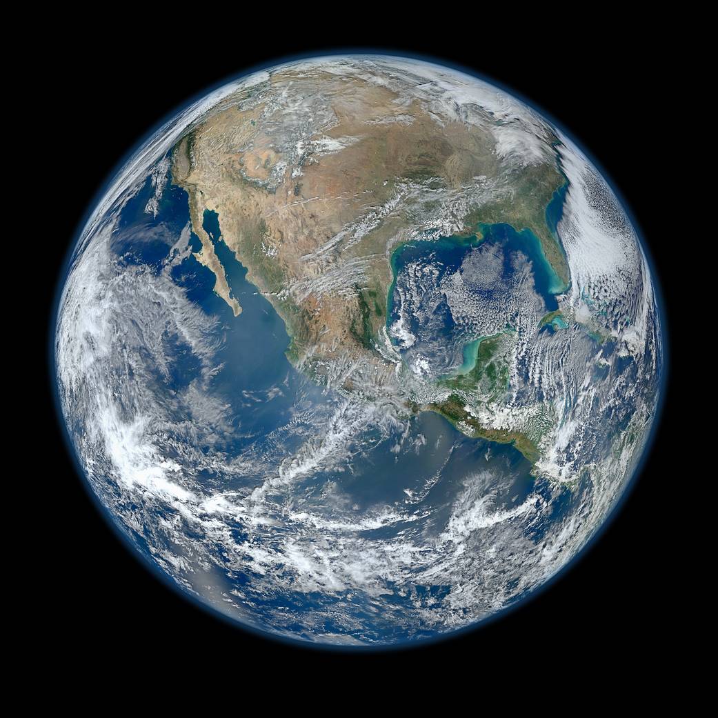
2012
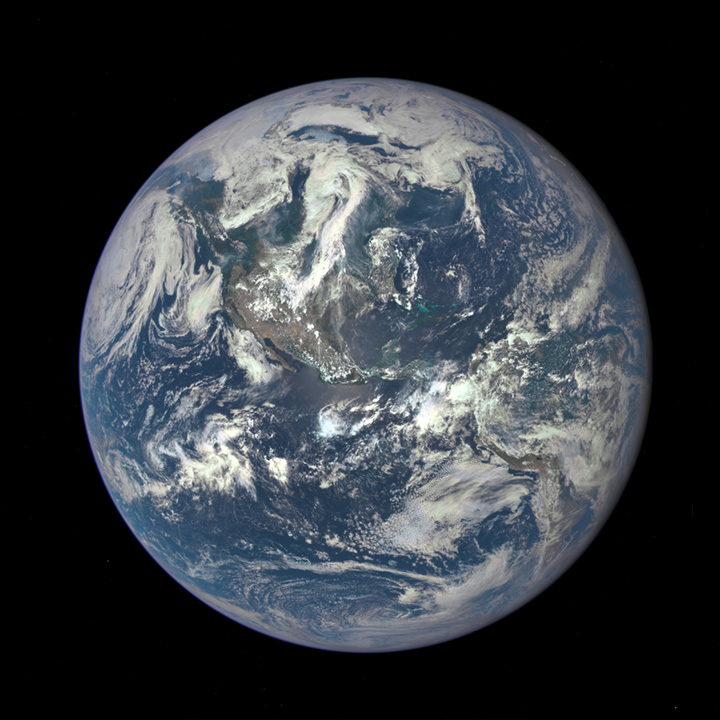
2015
Pardon me if I'm a little skeptical of anything "from space" when whole continents change size.
Pardon me if I'm a little skeptical of anything "from space" when whole continents change size.
PLEASE check the details of both of those images to verify that they’re both from NASA.
The first pix looks doctored. Could be a reconstruction from one of sun-synchronous polar orbiters. My guess is a morning orbit with the reconstruction centered over Mexico. Could you provide the source of your 2012 pix?
The second pix is the infamous backward SEX pix.
Second pix: A view of the entire sunlit side of Earth from one million miles away, taken on July 6, 2015, was the first image from the Deep Space Climate Observatory.
A complex of thunderstorms over the eastern tropical Pacific can be seen and is a common occurrence in the Inter-Tropical Convergence Zone (ITCZ).
An inverted perverted rendering of the ITCZ reveals the word “sex.” Whether the rendering was intentional or an artifact is undetermined. The image was a breakthrough in CCD camera technology.
Here’s a realtime loop of the Earth from GOES-19, soon to be re-designated GOES East. This is a view from 22,236 miles above. Check it out.
GOES-19 Full Disk - GeoColor
https://www.star.nesdis.noaa.gov/GOES/fulldisk_band.php?sat=G19&band=GEOCOLOR&length=36&dim=undefined