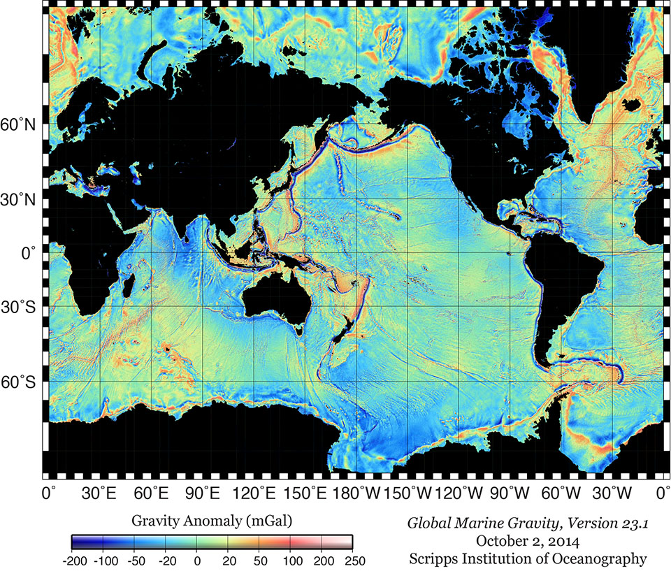
Data on slight variations of the pull of gravity over the oceans are recorded with satellite altimetry, and are then combined to map the seafloor globally.
CLICK HERE FOR LINK TO WEBSITE
Was just reading through pings again and wondered how satellite images can scan the deepest parts of the ocean?
Data on slight variations of the pull of gravity over the oceans are recorded with satellite altimetry, and are then combined to map the seafloor globally.
CLICK HERE FOR LINK TO WEBSITE