Thanks BBell and Rodamala.

Thanks BBell and Rodamala.


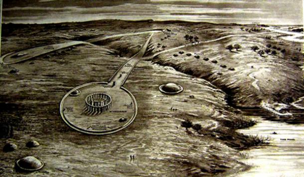
Techniques used by the team allowed them to "see" through the ground to uncover new ancient monuments
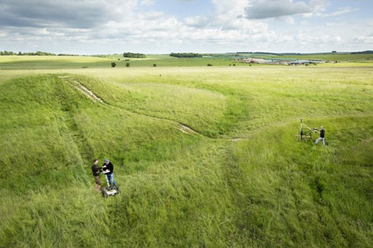
The Stonehenge Hidden Landscapes Project used ground-penetrating radars and GPS-guided magnetometers to produce a 3D map of a four-square-mile area. Credit: Henrik Knudsen, with thanks to National Trust.