I don't see any airport there. Just a tiny village at the northeast corner.

It doesn't look like the topography would be very favorable to constructing an airport.
My guess as to the island on his computeror is New Amsterdam:
http://en.wikipedia.org/wiki/%C3%8Ele_Amsterdam
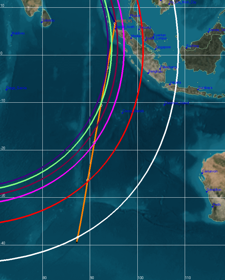
It appears to be the destination of the 450knot flight path that the NTSB initially charted then abandoned:
https://www.facebook.com/178566888854999/photos/pcb.740971779281171/740971732614509/?type=1&theater
But could he have made it to that island with the fuel he had on board?
Someone early on must have been given a heads up:
http://www.duncansteel.com/wp-content/uploads/2014/04/V_2D_2.png
This charted flight path hits New Amsterdam right on —
I don't see any airport there. Just a tiny village at the northeast corner.
It doesn't look like the topography would be very favorable to constructing an airport.