To: fiftymegaton
But the VHF or HF is needed for verbal communication with the ATC tower, is that correct?I was a USAF air traffic controller for 20 years. Towers only control the airport, to about 10 miles. Beyond that, to about 40 to 50 miles, the terminal radar control facility (TRACON, USAF-RAPCON) controls the aircraft. Beyond that, enroute facilities take over. VHF/UHF radios are used. In the past, I believe HF was used over water, but I would suspect that is a thing of the past, with today's sophisticated communications capabilities. Aircraft do not communicate with towers, except within the airport traffic area (10 or so miles) I hope that helps a little.
18 posted on
03/17/2014 2:09:16 AM PDT by
Mark17
(Chicago Blackhawks: Stanley Cup champions 2010, 2013. Vietnam Vet 70-71 Msgt US Air Force, retired)
To: Mark17
I didn’t know that. Thanks for the info.
I imagine military aircraft rely more on VHF than on transponders relaying their position.
So when the media reports that the pilot’s last communication was with Air Traffic Control, it may not have been with the nearest airport’s tower(likely was not), but may have been with the nearest Enroute Facility or TRACON facility. Or however they might name such similar facilities in that part of the world.
26 posted on
03/17/2014 3:10:43 AM PDT by
fiftymegaton
(God Bless and Protect America)
To: Mark17
Take a look at the flight path once he turned off his transponder through the 4 hours after "ping" from the satellite, in reference to
a high altitude flight chart around LANGKAWI (and look northwest for "P628" Jet Route heading Northwest.
Once you compare the IFR HI Chart to their flight path, it makes sense.
What do you think of this?

It looks like an overall summary of
what's been discussed here at Free Republic dot com.
But what is of use to me is
this statement towards the end of his article.
" A satellite was able to pick up a ‘ping’ from the plane until 08:11 local time,more than seven hours after it lost radar contact,
although it was unable to give a precise location.
Mr Razak went on to say that based on this new data, investigators ‘have determined the plane’s last communication with a satellite was in one of two possible corridors –north from the border of Kazakhstan and Turkmenistan through to northern Thailand,
and south from Indonesia to the southern Indian Ocean. "
Now take that information and
the arc ping map (important to view this map at this link for more details) along with the jet route map, and you can find possible links.
We find
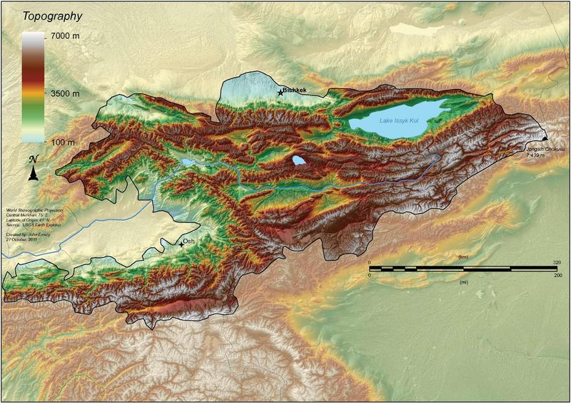
BISHKEK MANAS,
Kyrgyzstan and Manas has a 13,800-foot long runway, built for Soviet bombers.
That leads to some interesting possibilities.
32 posted on
03/17/2014 3:49:41 AM PDT by
Yosemitest
(It's Simple ! Fight, ... or Die !)
To: Mark17
Mark17, thank you for your service.
We still use HF over water. For example, I can go any where in the Caribbean on VHF, but I have to us HF to Bermuda.
FreeRepublic.com is powered by software copyright 2000-2008 John Robinson