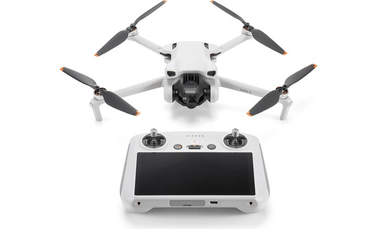
I have a bunch of other drones, but the DJI’s take incredible videos and pictures. I use Litchi, Dronelink, Grid Mission Designer and other 3rd party software with the Mini-3. If you were ever interested in making a virtual map made up of many high-quality images stitched together - this video tells how.
https://youtu.be/8NN9ETHamwY?list=LL
It is easier with the Mini 3 than the Mini 4 Pro.