
The original report you posted --->
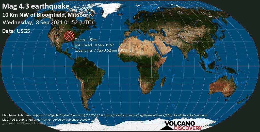
"A magnitude 4.3 earthquake near Sikeston, Scott County, Missouri, USA, was reported only 14 minutes ago by the United States Geological Survey, considered the key international and national agency that monitors seismic activity in the US. The earthquake occurred at a very shallow depth of 0.9 miles beneath the epicenter in the evening on Tuesday, September 7th, 2021, at 8:52 pm local time. The exact magnitude, epicenter, and depth of the quake might be revised within the next few hours or minutes as seismologists review data and refine their calculations, or as other agencies issue their report.
A second report was later issued by the European-Mediterranean Seismological Centre (EMSC), which listed it as a magnitude 4.2 earthquake.
So they reviewed the data, refined their calculations and removed the entire earthquake form the record? Second day this has happened is becoming more than a coincidence.
So what happened to the report from the European-Mediterranean Seismological Centre (EMSC)??
We have had them around the Sikeston area before. I remember a 3.5 or so a few years ago near Taum Sauk Caldera which is about 70 miles or so NE of Sikeston. The ground rolled like waves and freaked the cows out.
At any rate, why is there a pattern of erasing earthquake data?
The original report you posted --->