Free Republic
Browse · Search
General/Chat
Topics · Post Article

To: SunkenCiv
The Mackenzie River's outflow is into the Beaufort sea, part of the Arctic Ocean, and much closer to Alaska's North Slope and the Bering Sea (which is part of the Pacific). The North Atlantic is much further away, and a there is amass of islands, Baffin Bay, and then the Labrador sea, until you get to the North Atlantic proper.

I always heard that they assumed it was freshwater outflow from the Saint Lawrence river (what little there was of it, covered with ice) and a subsequent ice dam along Newfoundland and Nova Scotia burst.

The Mackenzie River just seems to far away.

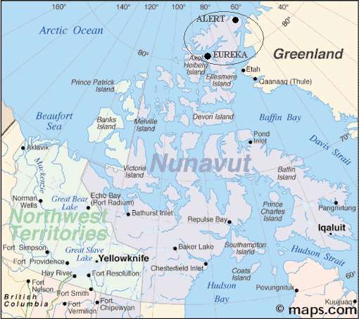
Note the Mackenzie River way over to the Northwest on this map. Almost outflows in Alaska.

23 posted on 07/16/2018 6:28:25 PM PDT by Alas Babylon! (MAGAMarchOnWashington.com)
[ Post Reply | Private Reply | To 1 | View Replies ]


To: Alas Babylon!
Here's a better map showing the distance to the Bering Sea versus the Labrador Sea.


25 posted on 07/16/2018 6:30:54 PM PDT by Alas Babylon! (MAGAMarchOnWashington.com)
[ Post Reply | Private Reply | To 23 | View Replies ]

To: Alas Babylon!

It’s all one world ocean; as long as the event left evidence, that’s what happened. :^)


27 posted on 07/16/2018 10:27:28 PM PDT by SunkenCiv (www.tapatalk.com/groups/godsgravesglyphs/, forum.darwincentral.org, www.gopbriefingroom.com)
[ Post Reply | Private Reply | To 23 | View Replies ]

Free Republic
Browse · Search
General/Chat
Topics · Post Article


FreeRepublic, LLC, PO BOX 9771, FRESNO, CA 93794
FreeRepublic.com is powered by software copyright 2000-2008 John Robinson