PING
A tiny storage shed and the Chrysler Building are both a single building, but I have hard time getting excited about seeing the former.
 i fail to see how it goes through the trees/leaves
And yet less Mexicans.
But a third of the buildings were s-holes.
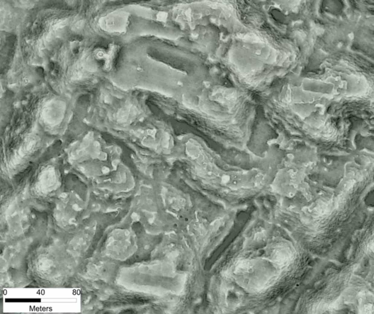
Blockies! Comment if you get the reference!
Hint: Mars.
Poor, poor pre-Mexicans. Global Warming did them in. All those horses, methane, etc.
Yet I doubt that this Mexican city had an average story count of 38 floors like NYC does...... It was a significant city I’m sure but that’s a bit of hyperbole right there.
If you look close, you can see the marquees for karate movies and peep shows.
Only when you count the out houses too.
If they did, the shops would probably be cleaner than those in New York ...
FWIW, I have so much experience with various SEMs that my boss used to say that I should own stock in Polaroid! '-)
And, at present, I'm negotiating to acquire LiDAR data on a huge swath down the eastern side of Texas -- which includes the pioneer emigration route known as ...
No, I'm not that author, but I've worked closely with him for over seven years -- and his book relies heavily on my GIS + image processed cartography...
Much of "the Trace" is on private land, and much of that is in heavily forested areas. Using custom post-processing on satellite imagery, I have had fairly good success in detecting faint remnants of the Trace .
But, by applying those same custom "spatial filters" to good LiDAR "Bare Ground" data, the results are spectacular!!
The main drawback to LiDAR until now has been the exorbitantly high co$$$t of acquiring the data -- even if it was already created and stored in some company's data bank. That appears to be about to change, with the advent of "Open Source" data.
~~~~~~~~~~
If anyone's interested, I'll see if I can find and put some of my A-B satellite vs LiDAR examples up on my webdomain for display here...