The closest (in time) Google Earth overflight in the current online public database is 4-27-2004 -- by which time the crater had been partially backfilled -- with bulldozer "push-paths" clearly marking the crater site (at 39.982878, 124.458985). At that date, the pool of standing water in the bottom was still clearly visible on Google Earth.
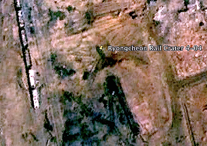
There is no dimension of the crater that is even half of the cited "72 meters". Measured generously, its longest dimension (in line with the train track) is less than 31 meters.
That terminal pool is almost exactly the dimensions of one of the surviving boxcars just to the west of the crater.
IMO, the explosion of high-VOD military grade explosives filling one (possibly two) similar-sized boxcar(s) could have created the depicted crater..