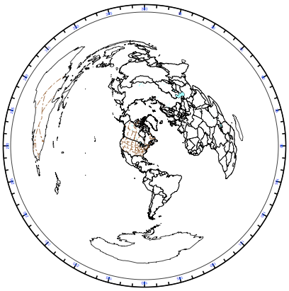
New York City as center of the Earth?
2D maps are drawn to show how the world looks from that vantage point. Depending on your vantage point, any continent on the map can increase or decrease in size. So a map that has North America as a central point will show North America being larger than it really is, when compared to other continents.
If they use a map that has Africa as a central point, North America shrinks considerably.