https://www.facebook.com/178566888854999/photos/pcb.740971779281171/740971732614509/?type=1&theater
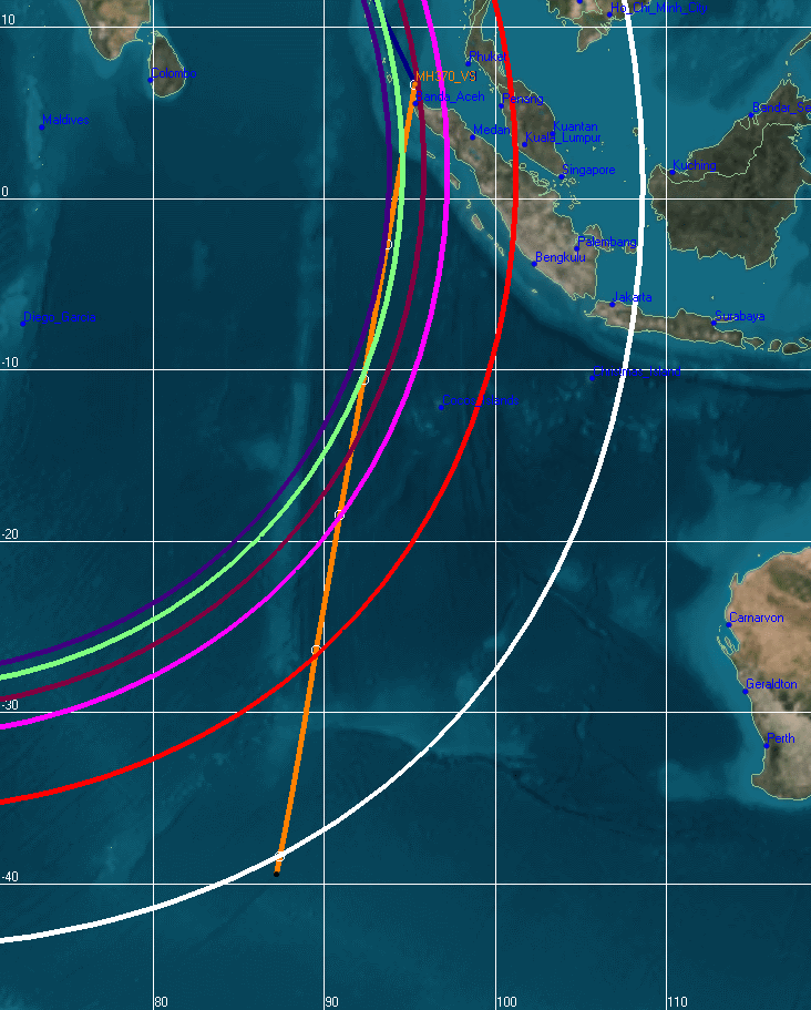
Red flight path to S28 E98.1 as MH370 flies @ 460mph would be 3336 miles from KLA.
Yellow flight path to Amsterdam Island S37.84 E87.55 as the MH370 flies @ 518mph would be 4230 miles from KLA and that path is here:
http://www.duncansteel.com/wp-content/uploads/2014/04/V_2D_2.png
http://en.wikipedia.org/wiki/%C3%8Ele_Amsterdam
The Australian government started by searching near the northeast end of the seventh arc, partly because that location was consistent with an aircraft that was limping slowly through the sky because it was damaged, or one that had burned a great deal of fuel in altitude changes.
I don’t recall this search unless he is referring to the South China Sea search —